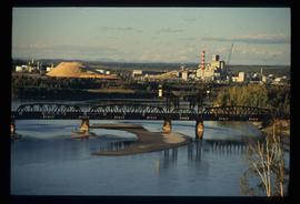
Image depicts two mills; the Intercontinental Pulp Mill is on the right in the foreground, and the Prince George Pulp and Paper Mill is on the left in the background. The picture is taken from the South, possibly off Yellowhead Bridge in Prince George, B.C.
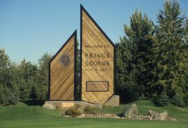
Image depicts the Prince George welcome and population sign, with a population of 71,086. Map coordinates 53°53'52.0"N 122°46'08.7"W
File contains slides depicting the Summerfest in Prince George, B.C. in 1994.
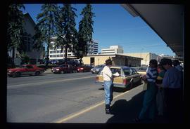
Image depicts a group of individuals on the sidewalk outside Spee-Dee Printers on Brunswick Street in Prince George, B.C.
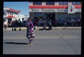
Image depicts a woman, wearing clothes reminiscent of traditional First Nations, who appears to be dancing in the street outside of a Native Friendship Centre in Prince George, B.C. A large crowd is looking on.
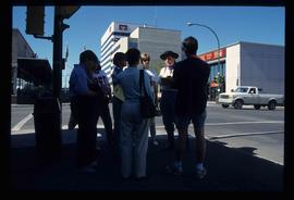
Image depicts a group of individuals standing on the corner of 3rd Ave in Prince George, B.C.
Image depicts a sawmill, possibly Lakeland Sawmill, in Prince George B.C.
Image depicts a pulpmill, likely Northwood, in Prince George, B.C.
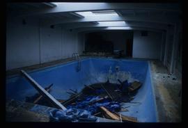
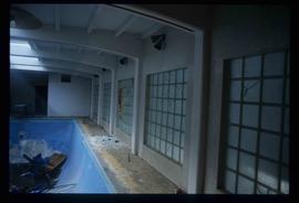
Image depicts a swimming pool filled with debris in the interior of the Ginter House in Prince George, B.C.
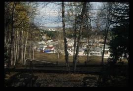
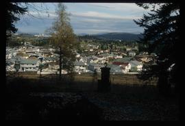
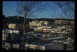
Image depicts a Prince George residential area from the viewpoint of the Ginter Property.
Image depicts a Prince George residential area from the viewpoint of the Ginter Property.
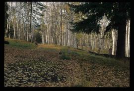
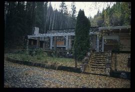
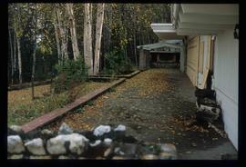
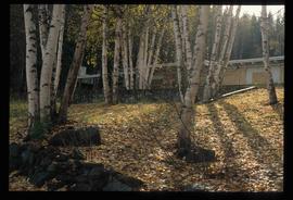
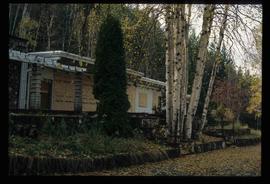
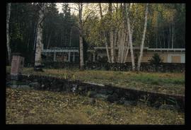
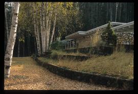
Image depicts the Ginter Property in Prince George, B.C.
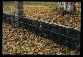
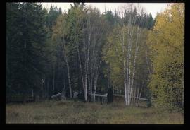
Image depicts what appears to be a part of a fence on the Ginter Property in Prince George, B.C.
Image depicts the interior of the Ginter House in Prince George, B.C.
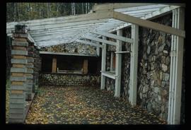
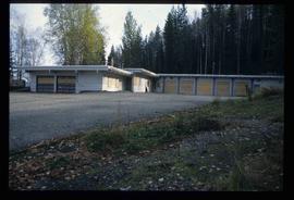
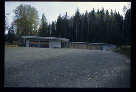
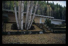
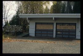
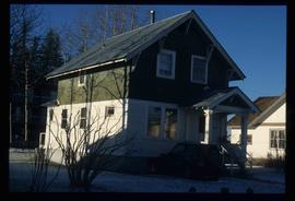
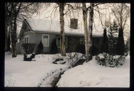
Image depicts the Ginter House in Prince George, B.C.
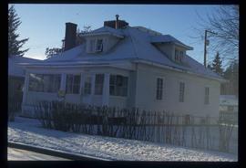
Image depicts 1461 Ingledew in Prince George, B.C.
Image depicts Prince George, B.C.
File contains slides depicting images of the Ginter House from 1997 in Prince George, B.C.
Image depicts the Ginter House in Prince George, B.C.
Image depicts the interior of the Ginter House in Prince George, B.C.
Image depicts the Ginter House in Prince George, B.C.
Image depicts the Ginter House in Prince George, B.C.
Image depicts the Ginter House in Prince George, B.C.
Image depicts the Ginter House in Prince George, B.C.
Image depicts the Ginter House in Prince George, B.C.
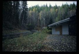
Image depicts the Ginter House and the surrounding woods, in Prince George, B.C.
Image depicts the Ginter House in Prince George, B.C.
Image depicts the Ginter House in Prince George, B.C.
Image depicts the Ginter House in Prince George, B.C.
Image depicts the Ginter House in Prince George, B.C.
Image depicts the Ginter House in Prince George, B.C.
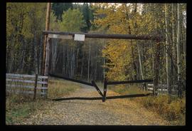
Image depicts a private driveway, most likely leading to the Ginter Property in Prince George, B.C.
Image depicts 1423 Ingledew in Prince George, B.C.
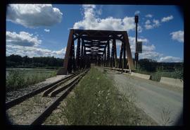
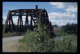
Image depicts the Northwood Bridge in Prince George, B.C.
Image depicts the Prince George Sawmill from the Northwood Bridge.
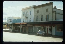
Image depicts the Europe Hotel in Prince George prior to its demolition in the 1980s; however, the slide itself was only made in 1999 and the date of the photo is otherwise unknown, but most likely around 1979.
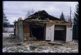
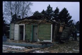
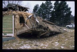
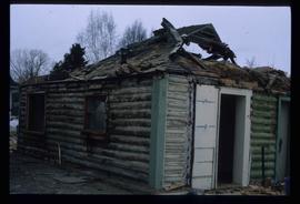
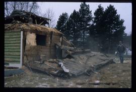
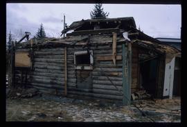
Image depicts a house in the process of being demolished in Prince George, B.C.
Image depicts a house in the process of being demolished in Prince George, B.C.
Image depicts a house in the process of being demolished in Prince George, B.C.
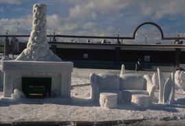
Image depicts a snow sculpted fire place and couch on a skating rink, possibly during the Winter City Conference, in Prince George, B.C. Taken at the Prince George Civic Center. Map coordinates 53°54'45.6"N 122°44'59.6"W
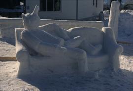
Image depicts a snow sculpture of the Mr. P.G. lounging on a couch, possibly during the Winter City Conference, in Prince George, B.C. Taken at the Prince George Civic Center. Map coordinates 53°54'45.6"N 122°44'59.6"W
Image depicts a house in the process of being demolished in Prince George, B.C.
Image depicts a house in the process of being demolished in Prince George, B.C.
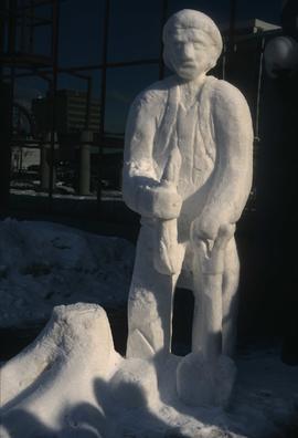
Image depicts a snow sculpture of a man with a shovel, possibly during the Winter City Conference, in Prince George, B.C. Taken at the Prince George Civic Center. Map coordinates 53°54'45.6"N 122°44'59.6"W
Image depicts the Northwood Bridge in Prince George, B.C.
Image depicts a house in the process of being demolished in Prince George, B.C.
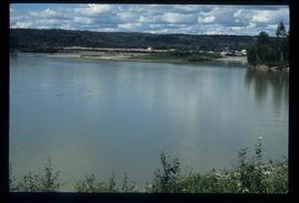
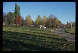
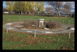
Image depicts the Lheidli T'enneh Burial Grounds in Fort George Park.
Image depicts the Lheidli T'enneh Burial Grounds in Fort George Park.
Image depicts 1425 Taylor Drive in Prince George, B.C.
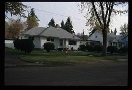
Image depicts houses on Dogwood Street in the Millar Addition neighbourhood of Prince George, B.C. On the left is 1610 Dogwood Street and 1630 Dogwood Street is the middle house; 1650 Dogwood Street is the blue house on the right.
