2012.13.1.7.217
·
Item
·
May 2001
Part of J. Kent Sedgwick fonds
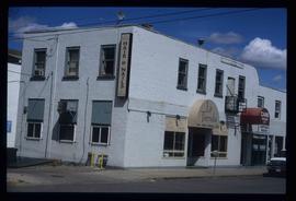
Image depicts the La Tienda Hair and Nail Salon on an uncertain street somewhere in Prince George, B.C.