2013.6.36.1.019.03
·
Pièce
·
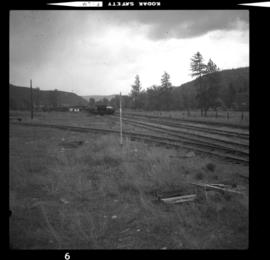
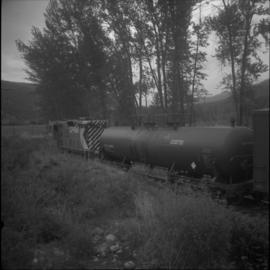
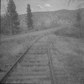
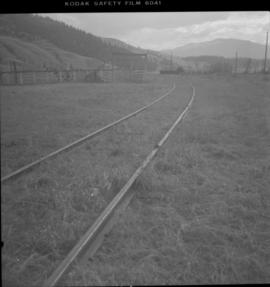
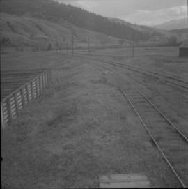
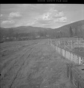
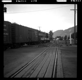
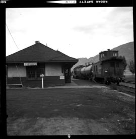
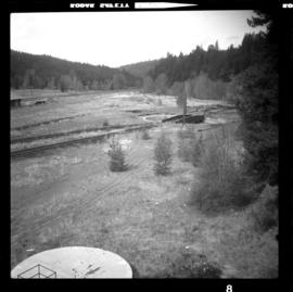
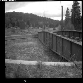
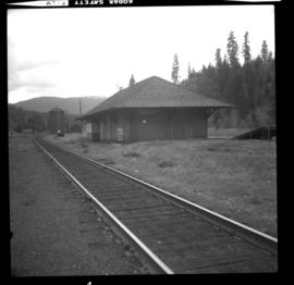
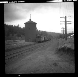
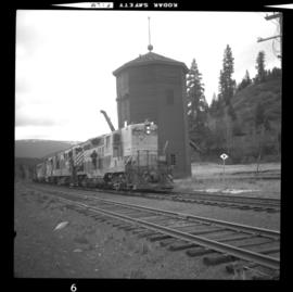
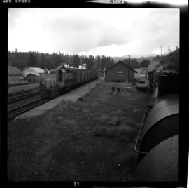
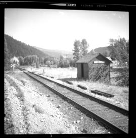
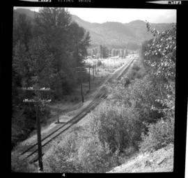
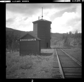
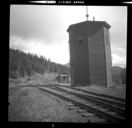
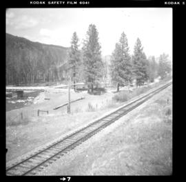
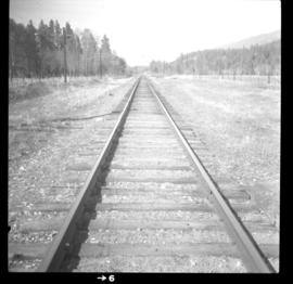
[26 May 1973]
Fait partie de David Davies Railway Collection
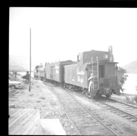
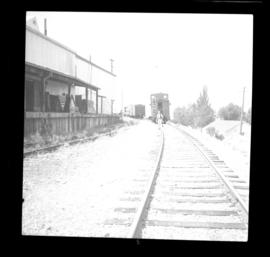
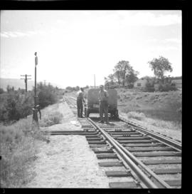
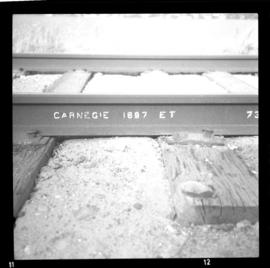
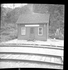
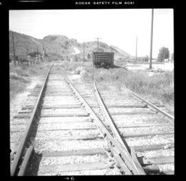
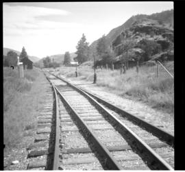
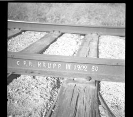
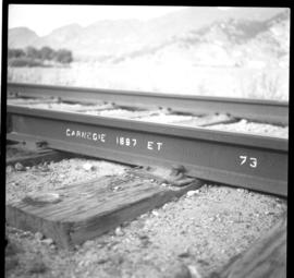
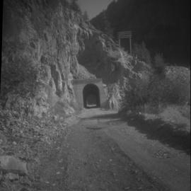
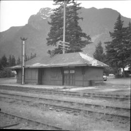
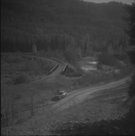
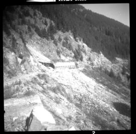
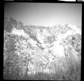
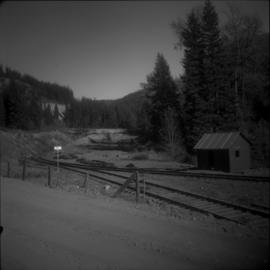
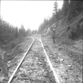
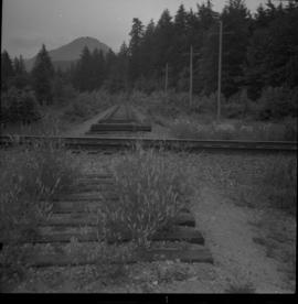
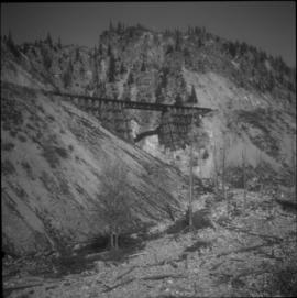
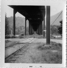
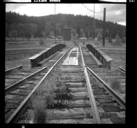
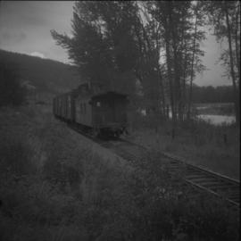
Photograph depicts the CPR line near Merritt. The way freight from Spences Bridge to Merritt is about 1 west of Dot, which is mile 20.3 from Spences Bridge. It is a 20 car train. The view is looking east.