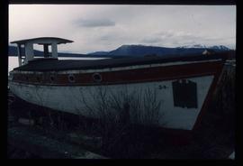
Image depicts an old boat on the shore of Atlin Lake.
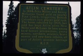
Image depicts a sign in the Atlin Cemetery, it reads: "In 1898, Fritz Miller and Kenny McLaren found gold on nearby Pine Creek, triggering British Columbia's last placer gold rush. The boom subsided by 1908, but gold has kept Atlin alive. Now Miller and McLaren lie here among hard-bitten prospectors, young miners, northern aviators, brave women and new-born infants, all part of Atlin's pioneer heritage R.I.P."
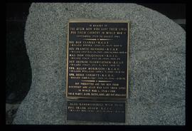
Image depicts a memorial plaque which reads: "In memory of the Atlin men who gave their lives for their country in World War II," and then proceeds to list several individuals.
Image depicts a small section of the Alaska Highway somewhere near Whitehorse, Y.T. The slide also appears to be labelled "army washing" for unknown reasons.
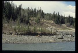
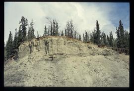
Image depicts what appears to be an eroding rock face. The slide itself is labelled "ash loger at top" for unknown reasons. Possibly located somewhere near Whitehorse, Y.T.
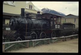
Image depicts the original steam engine for the White Pass Train, located in Skagway, Alaska.
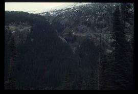
Image depicts a forested mountain side somewhere along the White Pass railway. The thin ridge along the mountain side is possibly either a highway or part of the railway.
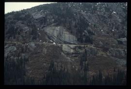
Image depicts a mountain side somewhere along the White Pass railway. The thin ridge along the mountain side is possibly either a highway or part of the railway.
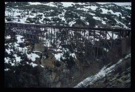
Image depicts an old trestle along the White Pass railway.
File contains slides depicting the Columbia River in Interior Washington, USA.
File contains slides depicting places along Route 80 in the USA.
File contains slides depicting various places in the USA.
File contains slides depicting maps from the B.C. Atlas.
File contains slides depicting birds and wildlife at unknown locations.
File contains slides depicting maps of Canada's former boundaries.
File contains slides depicting quotations and sketched images.
File contains slides depicting photographs of the art works of the Group of Seven.
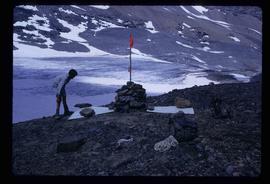
Image depicts a marker for aerial photography at an uncertain location. The slide labels it as "Elizabeth Station."
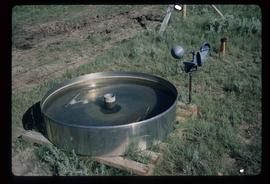
Image depicts an evaporation pan for water evaporation measurements. The location is uncertain.
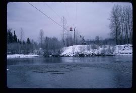
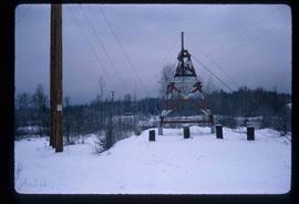
Image depicts the cableway, stretching over a river, in Willow River, B.C.
Image depicts the cableway in Willow River, B.C.
File contains slides depicting maps for land use in Prince George.
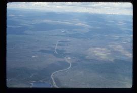
Image depicts an aerial view of the Ahbau area somewhere near Prince George, B.C.
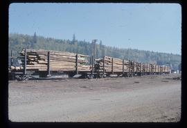
Image depicts a train carrying logs somewhere in Prince George, B.c.
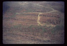
Image depicts a logging area somewhere near Prince George, B.C.
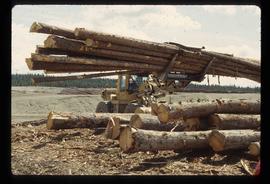
Image depicts a tractor with a claw lifting logs at a saw mill in Prince George, B.C.
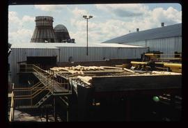
Image depicts numerous logs that have been stripped of their bark at a saw mill in Prince George, B.C.
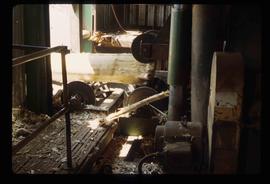
Image depicts machinery stripping a log of its bark in a saw mill somewhere in Prince George, B.C.
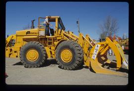
Image depicts an unidentified individual examining a piece of heavy machinery used in the forestry industry. It is located in Prince George, B.C.
Image depicts an esker at Bednesti Lake, B.C.
Image depicts a crevasse filling ridge somewhere in the Bulkley Valley, B.C.
Image depicts an esker at Bednesti Lake, B.C.
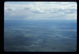
Image depicts an aerial view of a grooved region of land at an uncertain location.
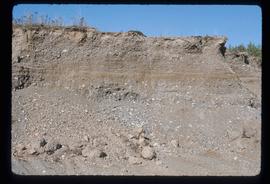
Image depicts layers of gravel at the BCR site in Prince George, B.C.
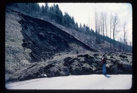
Image depicts an earth flow north of Stone Creek, B.C.
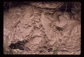
Image depicts layers of silt along the Chilako River near Blackwater Road, Prince George, B.C.
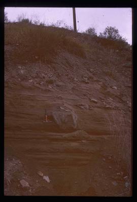
Image depicts a boulder protruding from layers of sediment with a hammer beside it for size reference. It is located somewhere in Soda Creek, B.C.
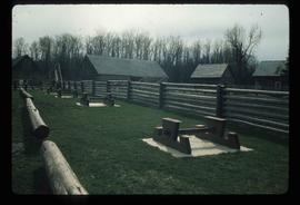
Image depicts the picnic site of the Cottonwood House Historic Site, located on the Barkerville Highway, east of Quesnel, B.C.
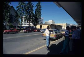
Image depicts a group of individuals on the sidewalk outside Spee-Dee Printers on Brunswick Street in Prince George, B.C.
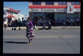
Image depicts a woman, wearing clothes reminiscent of traditional First Nations, who appears to be dancing in the street outside of a Native Friendship Centre in Prince George, B.C. A large crowd is looking on.
File contains slides depicting recreational activities on Tabor Mountain in Prince George, B.C.
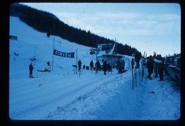
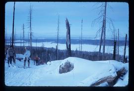
Image depicts numerous skiers standing near a finish line somewhere on Tabor Mountain in Prince George, B.C.
Image depicts a view of the area around Tabor Mountain in Prince George, B.C.
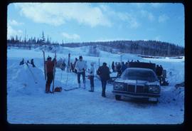
Image depicts a vehicle and a large group of skiers somewhere on Tabor Mountain in Prince George, B.C.
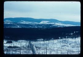
Image depicts a view of Tabor Mountain in Prince George, B.C.
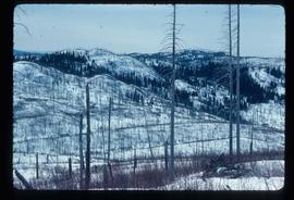
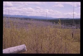
Image depicts a forest of dead trees on the slopes of Tabor Mountain in Prince George, B.C.
Image depicts a forest of dead trees on the slopes of Tabor Mountain in Prince George, B.C.
File contains slides depicting weather balloons.
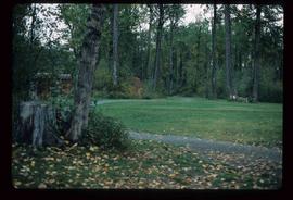
Image depicts a section of the Heritage Trail in Cottonwood Park.
Image depicts a the Cottonwood Island Nature Park sign and map in Prince George, B.C.
