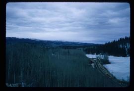
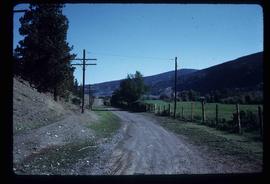
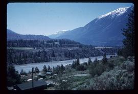
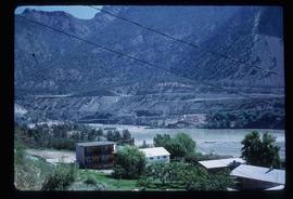
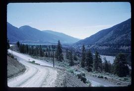
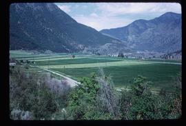
Image depicts the Cariboo Road south of Williams Lake.
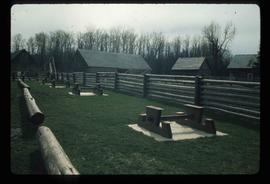
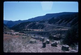
Image depicts the picnic site of the Cottonwood House Historic Site, located on the Barkerville Highway, east of Quesnel, B.C.
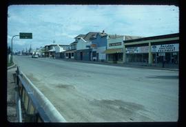
Image depicts the original main street of Quesnel, B.C.
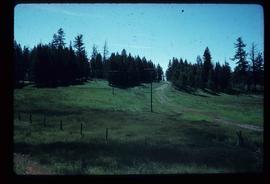
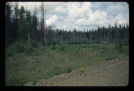
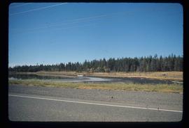
Image depicts a stretch of land from Highway 97 near 100 Mile House, B.C.
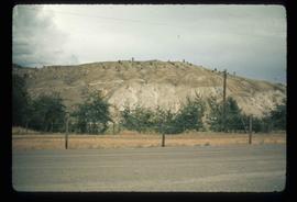
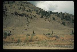
Image depicts a section of land from Highway 97 near Cache Creek, B.C.
Image depicts a rail road construct from Highway 97 at Mile 126; the slide is also labelled "McAlister."
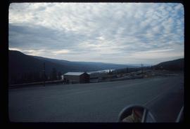
Image depicts a stretch of land from Highway 97 at Mile 231, possibly near Clinton, B.C.
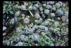
Image depicts some cacti somewhere near Soda Creek, B.C.
Image depicts a loading truck at the Gibraltar mine site north of Williams Lake, B.C.
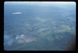
Image depicts an aerial view of Strathnaver, B.C.
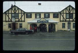
Image depicts the Wells Hotel in Wells, B.C.
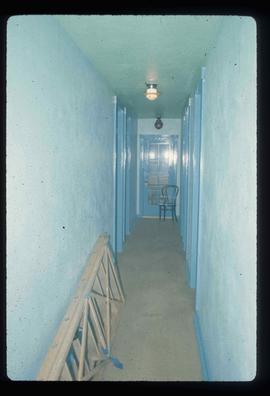
Image depicts a hallway in an unknown building somewhere in Wells, B.C.
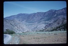
Image depicts a view of the mountains surrounding Lillooet, B.C.
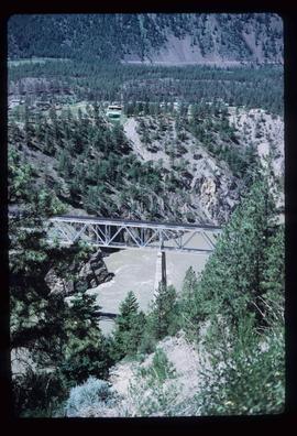
Image depicts a rail road bridge over the Fraser River, possibly somewhere in the Lillooet area.
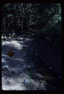
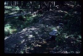
Image depicts an irrigation ditch in Lillooet, B.C.
Image depicts an irrigation ditch in Lillooet, B.C.
Image depicts a bridge over the Fraser River, located at Chimney Creek, somewhere south-west of Williams Lake, B.C.
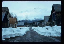
Image depicts a street in Barkerville, B.C.
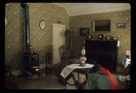
Image depicts the interior of an old house, possibly the Cottonwood House, and most likely in or near Barkerville, B.C.
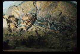
Image depicts a small model of the old prospecting process in what is likely Barkerville, B.C.
Image depicts the Cariboo Road at Hat Creek Ranch, near Highway 99 on the way to Lillooet.
Image depicts a section of land from Highway 97 near Cache Creek, B.C.
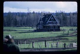
Image depicts the Watson Mansion at Mile 108 of Highway 97. It was built by Captain Geoffrey Watson in 1904, and was burned down by a chimney fire in 1983.
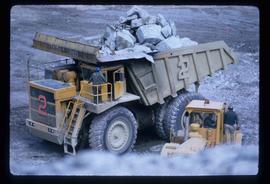
Image depicts an 80 tonne truck full of rocks at the Gibraltar mine site north of Williams Lake, B.C.
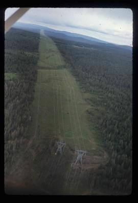
Image depicts an aerial view of a stretch of power lines somewhere near Williams Lake, B.C.
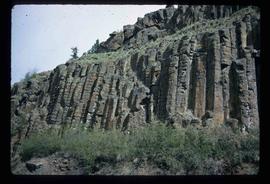
Image depicts a basalt landform somewhere in or near Quesnel, B.C.
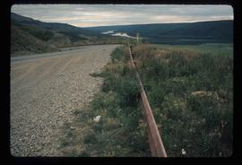
Image depicts a road with a guardrail and open fields somewhere near Dawson Creek, B.C.
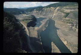
Image depicts a section of the Peace River blocked off by the W.A.C. Bennett Dam. The dam itself is not visible in the image.
Image depicts a view of the Fraser River in Lillooet, B.C.
Image depicts a view of the Fraser River in Lillooet, B.C.
Image depicts a view of the mountains surrounding Lillooet, B.C.
Image depicts some farmland in Lillooet, B.C.
Image depicts the Bridge River near Lillooet, B.C.
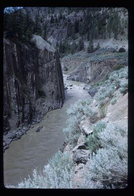
Image depicts a section of river located somewhere near Barriere, B.C.
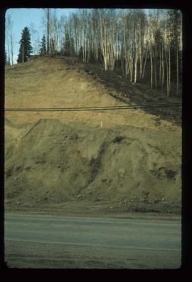
Image depicts a small slope on Carney Hill in Prince George, B.C.
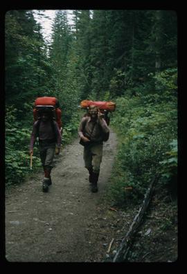
Image depicts two men on the hiking trail near Mt. Robson.
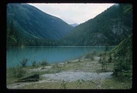
Image depicts a lake somewhere near Mt. Robson; it is possibly Kinney Lake.
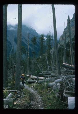
Image depicts a large number of felled trees, and an unknown individual standing on the path.
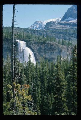
Image depicts a waterfall on a mountain side in Mt. Robson Provincial Park.
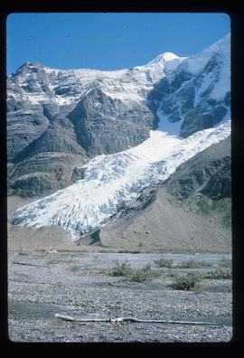
Image depicts the Mist Glacier on the slope of Mt. Robson.
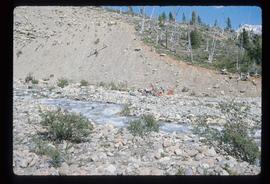
Image depicts a group of people on the rocky bank of a river somewhere near Mt. Robson.
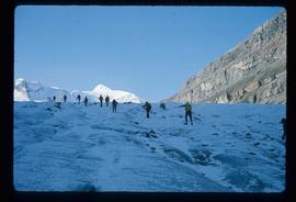
Image depicts a group of people hiking up a glacier, possibly the Robson Glacier.
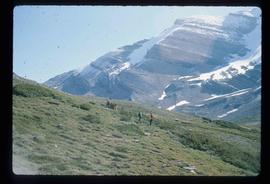
Image depicts a group of people standing on a hill, with what is possibly Mt. Robson in the background.
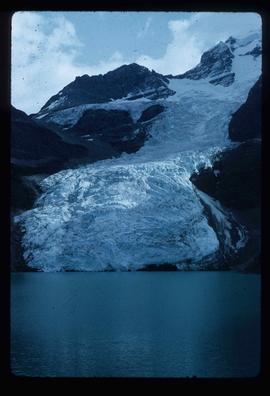
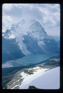
Image depicts the Berg Glacier at Berg Lake in the Mt. Robson Provincial Park.
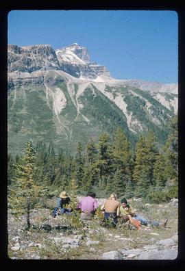
Image depicts a group of unknown individuals with a mountain in the background.
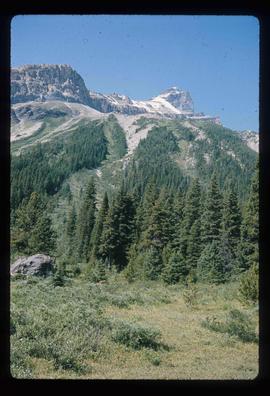
Image depicts a mountain peak, possibly Mt. Robson.
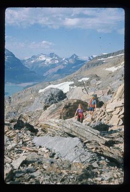
Image depicts a group of hikers somewhere in the Mt. Robson Provincial Park.
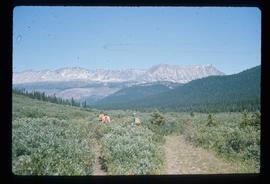
Image depicts a view of a small valley in Mt. Robson Provincial Park.
Image depicts a pair of hikers and a view of Mt. Robson Provincial Park.
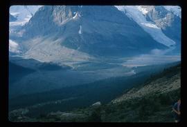
Image depicts a view of the Berg Lake and Glacier on the slope of Mt. Robson.
