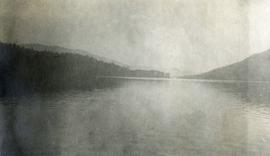
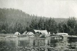
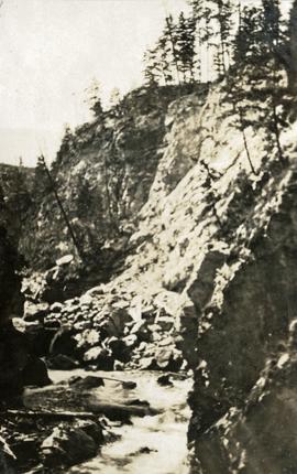
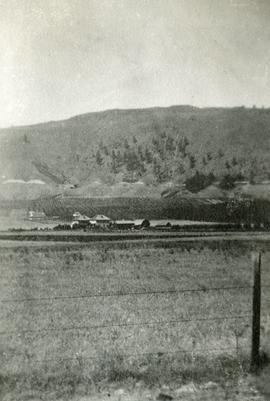
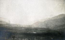
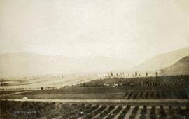
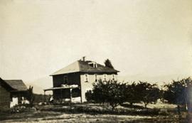
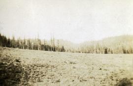
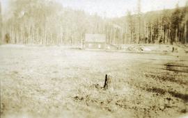
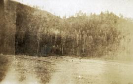
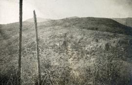
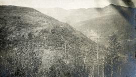
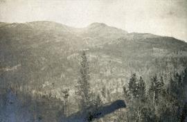
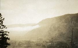
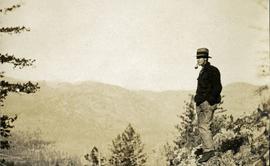
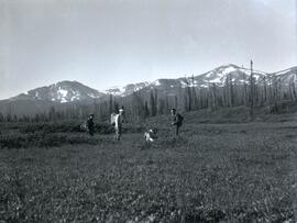
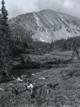
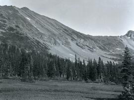
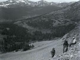
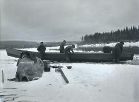
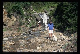
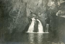
Photograph depicts McRae Creek Falls.
Photograph depicts the still waters of Christina Lake bordered by forest with mountains in the distance.
Photograph depicts a view from the water looking at a camp with several canvas tents. Lily pads in the foreground, forest in the background.
Photograph depicts a stream of water, a steep canyon wall in the background.
Photograph depicts a view of well kept buildings, orchard and mountains in the background.
Photograph depicts a large farmhouse situated in an orchard.
Photograph depicts a newly cleared field, forest and mountains in the background.
Photograph depicts a stump in the foreground, a building in the midground and forested mountains in the background.
Photograph depicts a field in the foreground, forest and mountains in the background.
Photograph depicts a sparsely forested mountainside.
Photograph depicts grassy vegetation, open range land.
Photograph depicts looking north and south in North Fork from above Boulder creek.
Photograph depicts A. H. Holland viewing North Fork valley from a high mountain ridge.
Photograph depicts the British Columbia Parliament Buildings in Victoria, BC.
Photograph depicts the Empress Hotel in Victoria, BC.
Photograph depicts buildings looking north of the Empress Hotel on Douglas Street in Victoria, BC. The Belmont is on the right and the Customs Building on the left.
Photograph depicts an expanse of water, on the shore are low treed hills and snow peaked mountains in the distance.
Photograph depicts a tiny coastal village nestled on the shore. Treed hills surround the village, there are snow topped mountains in the background.
Image depicts an unidentified individual standing next to a marker and a stake at an uncertain location.
Image depicts objects, including a flag pole, that the slide labels as "survey equipment." The slide also places it as a "Peyto icefall," on the Peyto Galcier in the Banff National Park in Alberta, B.C.
Image depicts three men and a dog on the hiking trail near Mt. Robson.
Image depicts a camp of people with Mt. Robson and the Berg Glacier in the background.
Image depicts five unknown individuals somewhere near Mt. Robson.
Image depicts a group of people heading towards a glacier, possibly the Robson Glacier.
Image depicts a group of people hiking on a glacier, possibly the Robson Glacier.
Image depicts a man talking to a group of hikers, with what is possibly Mt. Robson and the Robson Glacier in the background.
Image depicts an unknown individual reading inside a tent somewhere in Mt. Robson Provincial Park.
Image depicts a group of hikers somewhere in Mt. Robson Provincial Park.
Image depicts a group of people hiking through trees somewhere in Mt. Robson Provincial Park.
Image depicts a man, with what is possibly the Robson Glacier visible in the background.
Image depicts Kent Sedgwick speaking to a group of hikers.
Image depicts a group of hikers listening to a man, possibly a guide, speak. The location is possibly near Riske Creek, B.C.
Image depicts a view of the scenery at an uncertain location with numerous individuals, possibly tourists, present. It is possibly somewhere near the Fraser River.
Image depicts Kent Sedgwick standing in a forest somewhere on Haida Gwaii.
Image depicts two individuals and two dogs standing by a stream at an uncertain location, possibly somewhere in Bear Glacier Provincial Park. The woman in purple is possibly Sue Sedgwick.
Image depicts Sue and Kent Sedgwick with two dogs, standing with the Bear Glacier in the background.
Photograph depicts (from left to right) Bill McPhee, an unidentified man, a dog, and Frank 'Shorty' Weber standing in tall meadow grass in front of a sparsely forested landscape in front of a mountain range. The location of the photograph is noted to be at Duck Creek below Copper Mountain; however, those names may no longer be in current use. Location is assumed to be approximately 55.979291, -125.208415 near what is currently named Wasi Peak.
Frank ‘Shorty’ Weber had a trapline on the upper Ingenika for over 30 years. and he was well-known in the Finlay River area.
Photograph depicts four men seated around a small camp in front of Copper Mountain. The location of the photograph is noted to be at Duck Creek at Copper Mountain; however, those names may no longer be in current use. Location is assumed to be approximately 55.979291, -125.208415 near what is currently named Wasi Peak.
Photograph depicts Copper Mountain with forested area at base and grassy area in the foreground.
Photograph depicts (from left to right) Bill McPhee, Frank 'Shorty' Weber, and another man resting along the rocky terrain on the west slope of Copper Mountain with a forested area at the base of the mountain. In the background of the image another mountain range is visible. The location of the photograph is noted to be at Copper Mountain; however, that name does not appear to be in current use. Location is assumed to be somewhere in the vicinity of 55.979291, -125.208415, near what is currently named Wasi Peak.
Frank ‘Shorty’ Weber had a trapline on the upper Ingenika for over 30 years. and he was well-known in the Finlay River area.
Photograph depicts two men (Bill McPhee and Shorty Weber) standing at the summit of Copper Mountain with a snowy mountain range visible in the background of the image.
Photograph depicts a frozen pond located in a snowy landscape on the east side of Copper Mountain.
Photograph depicts two men and a dog standing in a grassy field at Duck Creek in front of a forested landscape with a mountain range in the background.
Photograph depicts two men standing on a boat floating between ice chunks down Finlay River below Deserter Canyon.
Photograph depicts five men repairing a boat pulled up on a snow covered shoreline beside the river at Finlay Forks.