This file contains the following photographs in both print photograph and negative format:
Thorsen Bay
Print roll 11, #01-2A
Corresponding slides: slide roll 6, #12-10
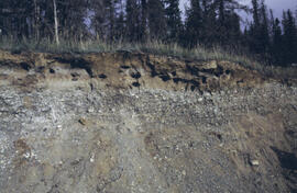
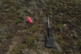
Y04-19 (27.5 km on Cultus Bay Rd., near Thorsen Bay)
Date: July 22, 2004
Location Coordinates: 61º 12’ 3.0” N, 138º 28’ 58.3’ W, 819 m asl (± 18.9 m)
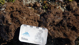
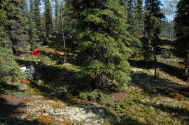
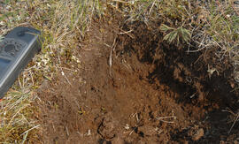
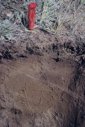
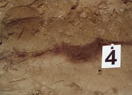
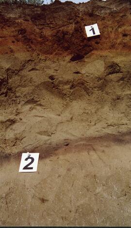
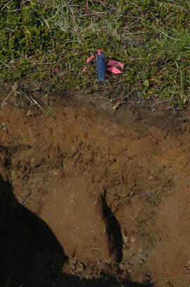
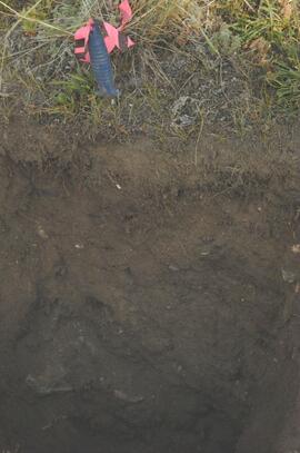
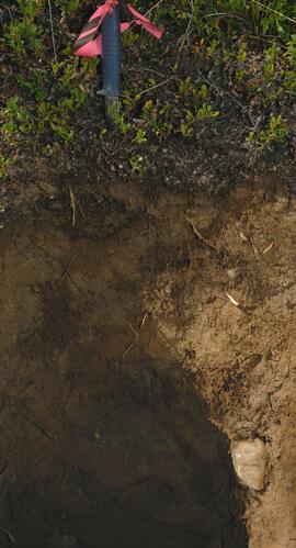
Site Description: Roadcut at base of 30º, E-facing slope. Colluviated loess overlies sandy glaciofluvial at 120 cm. Prominent paleosol with “cumulic” B horizon at 80-120 cm, with strong effervescence throughout exposure.
Print roll 11, #3A-5A (profile), #6A-10A (landscape)
Corresponding slides: slide roll 6, #9-7 (profile), #6-1 (landscape)
Sample Depths & Descriptions: Y04-19-01 – charcoal at 95 cm
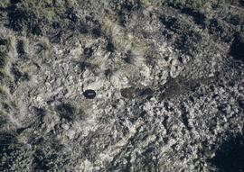
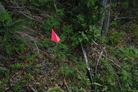
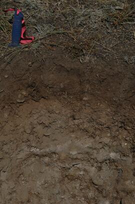
Roadcut opposite ~ 30 m to NE on grassy S aspect (10° slope) with 15-20 cm of calcareous loess and sand over 2 cm White River ash; strongly effervescent throughout.
Print roll 11, #11A-12A (profile)
Corresponding slides: slide roll 7, #36-35 (profile)
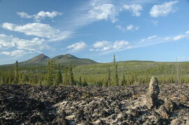
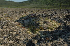
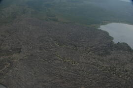
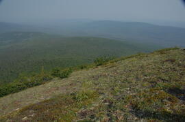
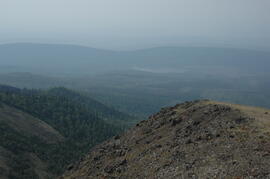
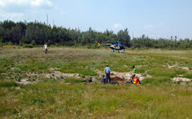
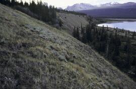
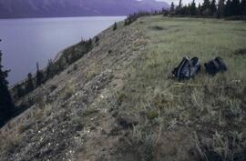
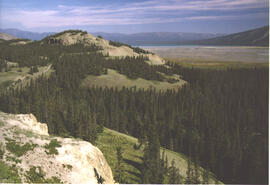
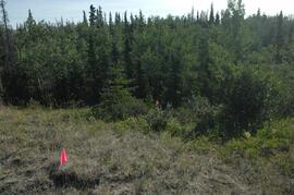
Thorsen Bay landscape
Print roll 11, #13A-16A
Corresponding slides: Slide roll 7, #34-32
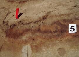
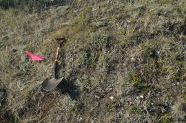
Y04-20B
Date: July 22, 2004
Location Coordinates: 61º 10’ 16.5” N, 138º 26’ 18.7’ W, 797.5 m asl (± 5.9 m)
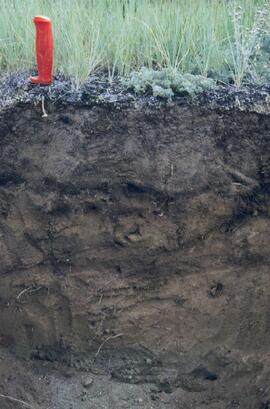
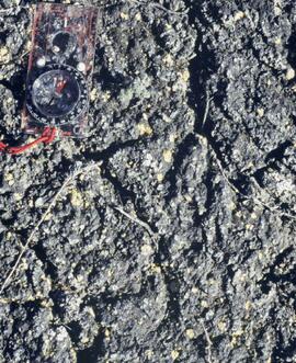
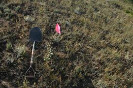
Site Description: wind-eroded Slims soil on glaciolacustrine with contorted bedding (exposed on blown-out roadcut); calcareous to surface; White R ash pockets at 10-20 cm; S aspect, 5° slope.
Print roll 11, #17A-21A
Corresponding slides: Slide roll 7, #31-26
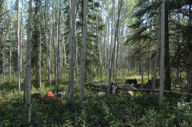
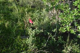
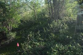
Y04-22
Date: July 22, 2004
Location Coordinates: 61º 9’ 39.24” N, 138º 25’ 7.8’ W, 790.6 m asl (± 6.4 m)
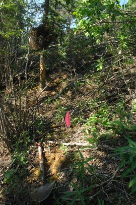
Site Description: toe of 30° slope, W aspect (grassy slope with poplar at toe); 1.0-1.2 of colluviated loess over gravelly glaciofluvial with buried soil at 70-80 cm
Print roll 11, #22A-24A
Corresponding slides: Slide roll 7, #25-24