2012.13.1.24.34
·
Item
·
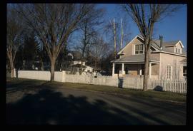
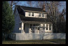
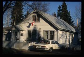
2000
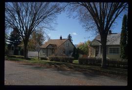
Part of J. Kent Sedgwick fonds
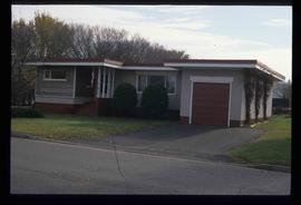
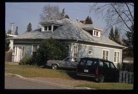
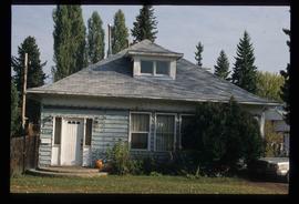
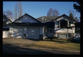
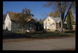
Image depicts houses on Dogwood Street in the Millar Addition neighbourhood of Prince George, B.C. On the left is 1610 Dogwood Street and 1630 Dogwood Street is the middle house; 1650 Dogwood Street is the blue house on the right.