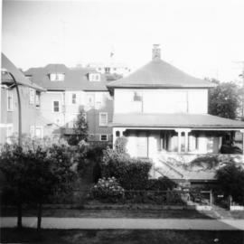
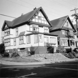
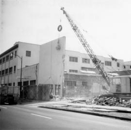
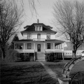
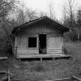
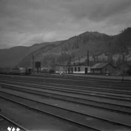
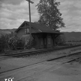
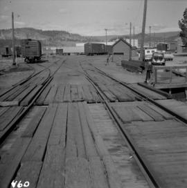
2013.6.36.1.072.10
·
Stuk
·
23 Nov. 1968
Part of David Davies Railway Collection
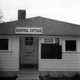
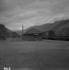
Photograph depicts one of four houses that were being gutted and demolished to make way for a concrete high rise apartment block. Built circa 1905.