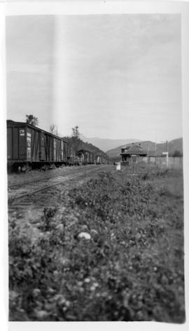
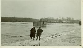
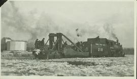
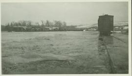
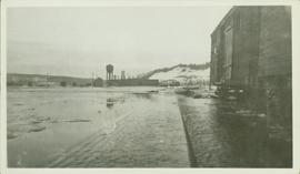
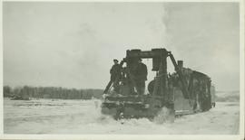
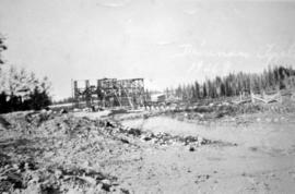
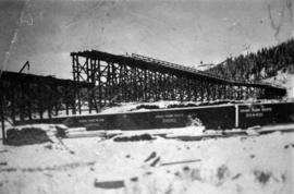
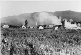
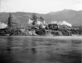
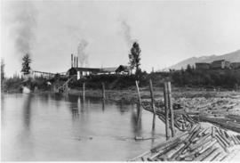
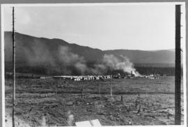
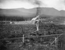
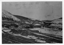
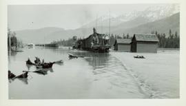
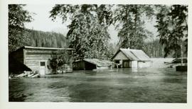
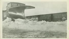
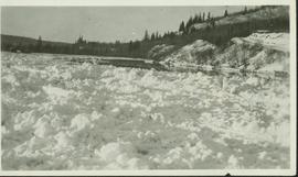
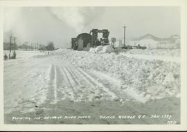
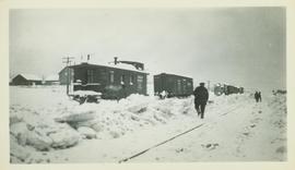
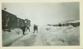
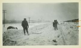
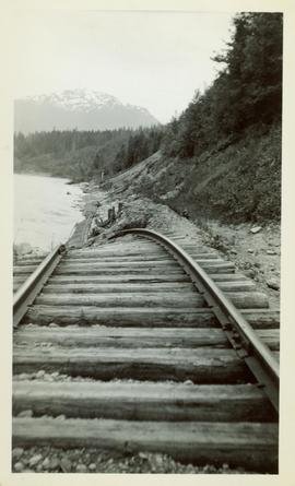
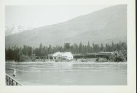
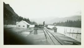
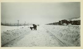
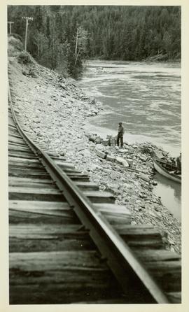
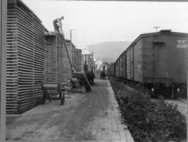
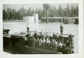
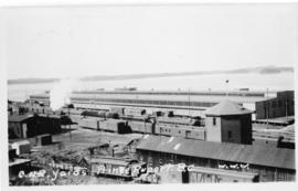
Photograph depicts a Canadian National Railway rail yard at Prince Rupert, BC.
Photograph depicts the Dorreen railway station on the Canadian National Railway main line, located on the west bank of the Skeena River between Cedarvale and Terrace, British Columbia. CN boxcars visible on the siding.
Typed annotation on verso reads: "Matt Caldwell on GTP/CNR turntable at Endako c. 1950. Pre-WW1, Matt worked as boiler maker for Grand Trunk in Montreal & later in Edson. He served in WW ! with First Pioneers from P.G. and after the war became (eventually) Loco Foreman in Endako: retired c. 1950. Photo: May Caldwell Dockrill (daughter) & "Deeper Roots & Greener Valleys", published by Fraser Lake & District Historical Society."
Photograph depicts a building structure in an unknown location.
Photograph depicts a building structure near a train in an unknown location.
Photograph depicts Red Mountain Lumber Company mill owned by Roy Spurr in Penny, BC in 1929. Scattered all around the mill are the remnants of the previous coniferous forest that was destroyed in the Penny Fire that occurred 2 years earlier.
Photograph depicts two men with a team of eight horses and a large load of logs. Typed annotation on verso of photograph reads: "The Pole Cart at work, circa 1930, opposite Longworth"
Photograph depicts a winter landscape with Mt. Park visible.
Photograph depicts 3 men atop a large stack of logs. The logs are on a cart being pulled by a team of 8 horses. Near Longworth BC
Photograph depicts a winter landscape with Mt. Park and the Tipple visible.
Buildings partially submerged by the high waters of the Skeena River. Handwritten annotation on verso: "R.R. & yards near Pacific Station".
Wagon load of people looking at the fully submerged train tracks and partially submerged buildings effected by the high waters of the Skeena River.
The road north to Salmon River is visible in the upper right corner.
In 1936 a flood covered CN tracks in the Prince George area.
Man in suit and hat is believed to be R.A. Harlow
Location of this photo is believed to be between Kitwanga and Kwinitsa. Handwritten annotation on verso: "One of the bad spots."
Flood waters rise in foreground, buildings, train cars and water tower visible in background against a forested mountainside.
Photo taken from top of railcar and features submerged train tracks and partially submerged buildings effected by the high waters of the Skeena River.
Photo taken in the late spring of 1936 at the west end of the CNR bridge when flood waters had covered up what was then known as the "tourist camp".
The Nechako Bridge is also known as the Cameron Street Bridge
Handwritten annotation on verso: "Hundreds of places look just like this between Kitwanga and Kwinitsa - Fred Walton, Ben Valde, Burbank, and another - after trekking thru." Burbank is actuall M.A. "Major" Burbank, Chief Engineer.
Location of this photo is believed to be between Kitwanga and Kwinitsa. Handwritten annotation on verso: "One of the bad spots."
Close up of a section of the CNR line that is disappearing along the Skeena River in the foreground; and men unloading supplies from a canoe pulled up onto the rivershore in the midground. Location of this photo is believed to be between Kitwanga and Kwinitsa.