2009.6.1.180
·
Item
·
August 1977
Parte de The Honourable Iona Campagnolo fonds
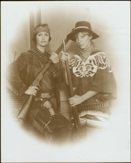
Handwritten annotation on verso reads: “Gag photo with my special assistant Lucie Lambert, August 1977, Vancouver.”