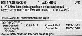
2007.1.20.9
·
Dossiê/Processo
·
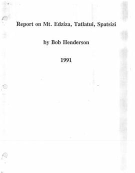
1992
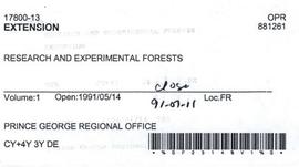
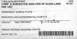
Parte de Aleza Lake Research Forest fonds
File contains map sheets with information relating to the historical recording of information concerning silvicultural treatments carried out on specific areas of land. This includes records concerning changes in the forest cover, changes in prescriptions, cut boundaries, changes in site prescriptions, original copies of silviculture prescriptions, and site plans.