2012.13.1.51.059
·
Item
·
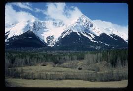
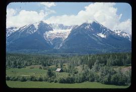
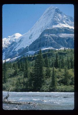
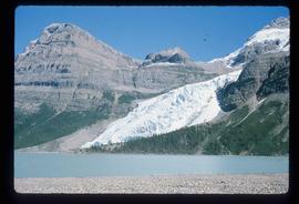
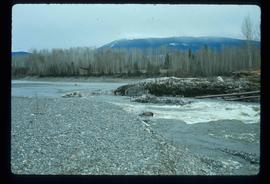
May 1973
Part of J. Kent Sedgwick fonds
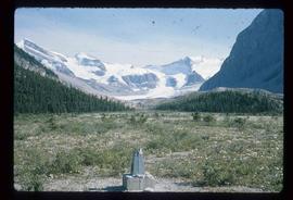
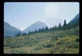
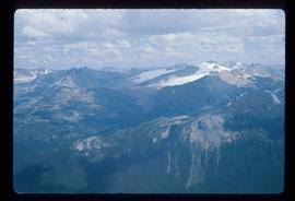
Image depicts the peak of the Rocher de Boule mountain from Hazelton, B.C.