2012.13.1.51.074
·
Item
·
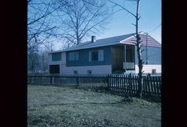
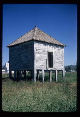
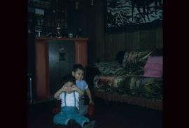
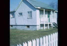
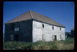
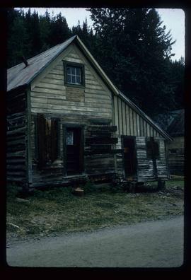
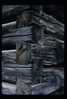
[1973?]
Part of J. Kent Sedgwick fonds
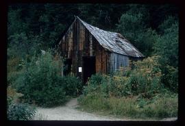
Image depicts the 'Ksan historical village in Hazelton, B.C.