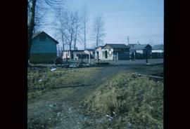
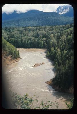
Image depicts a clearing at Island Cache.
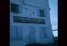
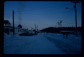
Image depicts a grocery store at Island Cache.
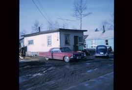
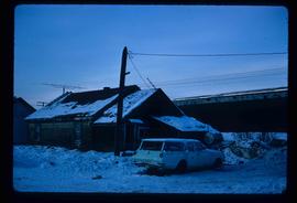
Image depicts a house in Island Cache. There are several cars parked outside it.
Image depicts a boarded up building in Island Cache.
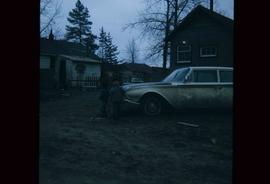
Image depicts two children standing near an old car in Island Cache.
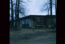
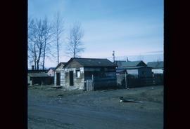
Image depicts a number of sheds in Island Cache.
Image depicts a number of sheds in Island Cache.
File contains slides depicting Wells, B.C.
File consists of notes, clippings, and reproductions relating to South Fort George. Includes: "South Fort George - A trip to the past" heritage brochure produced by South Fort George Community Association (1987) and "B.C. Express Co. Heritage Site" typed document prepared by the Heritage Advisory Committee (Feb. 1994). Also includes photographs depicting various buildings from old South Fort George.
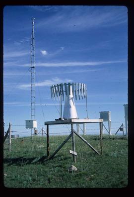
Image depicts a snow gauge at an uncertain location.
File contains slides depicting places in and between McBride and the Yellowhead Pass via the Yellowhead Highway.
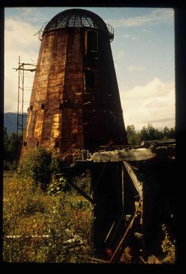
Image depicts an old beehive burner at an uncertain location.
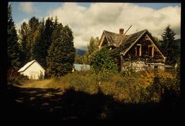
Image depicts an old and abandoned cabin with ivy growing up the side. The location is uncertain.
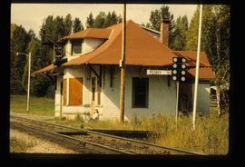
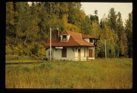
Image depicts the CN Station in Penny B.C. A woman, possibly Sue Sedgwick, is sitting against the outside wall.
Image depicts the CN Station in Penny B.C.
File contains slides depicting places in the Lillooet area.
File contains slides depicting the Bowron Lake Provincial Park.
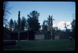
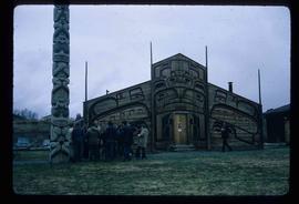
Image depicts the historical village of 'Ksan near Hazelton, B.C.
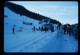
Image depicts numerous skiers standing near a finish line somewhere on Tabor Mountain in Prince George, B.C.
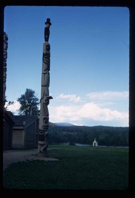
Image depicts a totem pole in the historical village of 'Ksan near Hazelton, B.C.
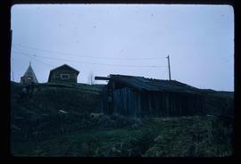
Image depicts a few old buildings, as well as several unknown individuals somewhere in Moricetown, B.C.
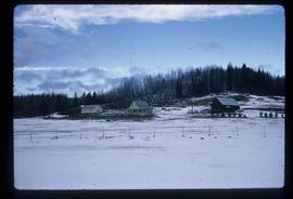
Image depicts a farmhouse on Old Summit Road in Prince George, B.C.
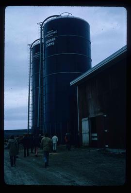
Image depicts a barn with large, Harvestore Systems. It is possibly located on one of the many farms near Vanderhoof, B.C.
Image depicts a group of people in the historical village of 'Ksan near Hazelton, B.C.
File contains slides depicting numerous individuals hiking up Mount Robson.
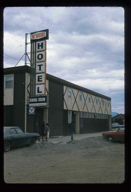
Image depicts the McBride Hotel near the Mt. Robson Provincial Park.
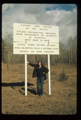
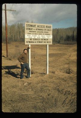
Image depicts an unknown individual leaning against a sign at the Stewart Access Road which warns travellers to pack several days of food. Located in Hazelton, B.C.
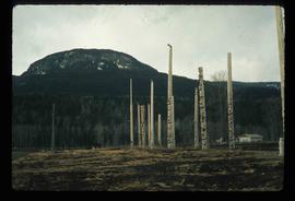
Image depicts numerous totem poles in Kispiox, B.C.
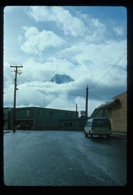
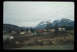
Image depicts the peak of the Rocher de Boule mountain from Hazelton, B.C.
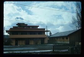
Image depicts the Inlander Hotel in Hazelton, B.C. The peak of the Rocher de Boule mountain is visible in the background.
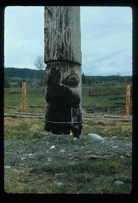
Image depicts an old, partially burnt totem pole in Kispiox, B.C.
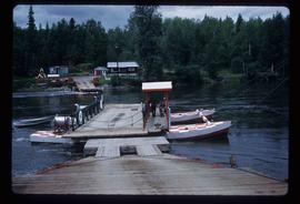
Image depicts the ferry at Isle Pierre, B.C.
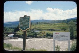
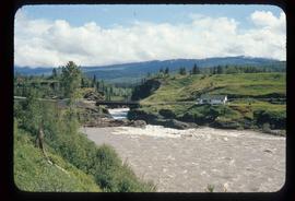
Image depicts the Bulkley River running through Moricetown Canyon.
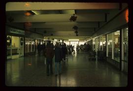
Image depicts numerous individuals inside a mall in Mackenzie, B.C.
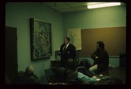
Image depicts numerous individuals examining a map as they are seated around a table. The location of the meeting is somewhere in Mackenzie, B.C.
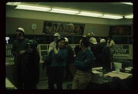
Image depicts numerous individuals wearing hard hats in what appears to be a computer room somewhere in Mackenzie, B.C.
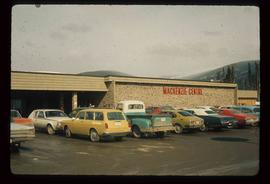
Image depicts numerous vehicles parked outside a building with a sign which reads "Mackenzie Centre;" it is possibly the mall in Mackenzie, B.C.
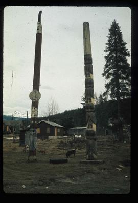
Image depicts two totem poles in Skeena Crossing, B.C.
Image depicts the Bulkley River running through Moricetown Canyon.
Image depicts the Bulkley River running through Moricetown Canyon.
Image depicts several unidentified individuals walking along the snow-covered Upper Fraser Road with numerous buildings on either side. Map coordinates 54°07'05.7"N 121°56'38.9"W
Image depicts a vehicle parked beside a small, wooden house in Upper Fraser, B.C. Map coordinates 54°07'05.7"N 121°56'38.9"W
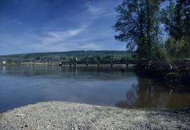
Image depicts the Fraser River and the Grand Trunk Pacific Bridge from Cottonwood Island Park.
Image depicts an old, collapsing house at the Nautley site in Fort Fraser, B.C.
Image depicts a general store in Quick, B.C.
Image depicts Skeena Crossing, B.C.
Image depicts a man, possibly Kent Sedgwick, leaning against a sign forbidding public traffic on the Stewart Access Road from between 5 am to 8 pm. Located in Hazelton, B.C.
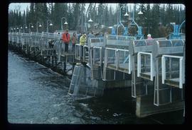
Image depicts a number of people standing at what appears to be a farm fishery [?] on the Fulton River.
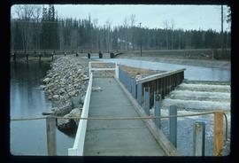
Image depicts the entrance of the Fulton River.
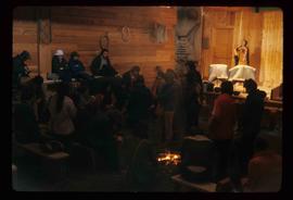
Image depicts a large gathering of people in the interior of a First Nations' longhouse located in the historical village of 'Ksan in Hazelton, B.C.

