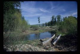
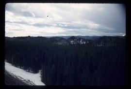
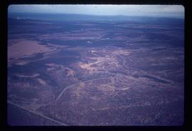
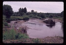
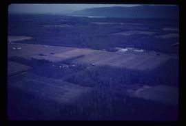
Image depicts Cottonwood Island.
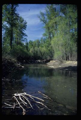
Image depicts a small stream somewhere on Cottonwood Island.
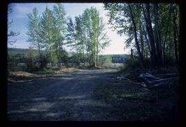
Image depicts a nature trail on Cottonwood Island.
File is a Resource Folio of maps and accompanying information created by Northwood Pulp & Timber regarding Timber Sale Harvesting Licence A01847, Willow River Block, Willow River P.S.Y.U. Includes maps that depict ungulates, waterfowl, recreation areas, special influence areas, and timber types. Most of the sheets have a duplicate, some with very slight variations. The following maps are supposed to be included in the but were missing upon arrival at the Archives: fish & topography, cutting permits & roads, and soils.
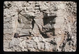
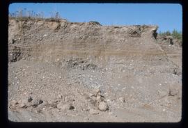
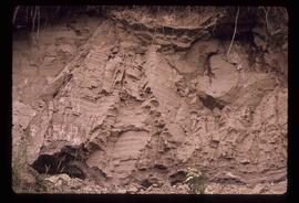
Image depicts an example of varves, an annual layer of sediment or rock, with a pipe used for reference size. It is possibly located at the airport in Prince George, B.C.
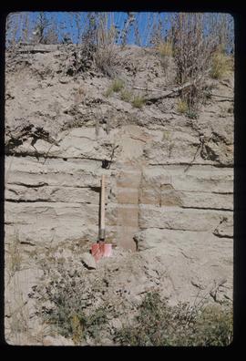
Image depicts sand beds with a shovel present for size reference. The slide places it at the "BCR site," possibly in Prince George, B.C.
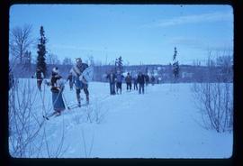
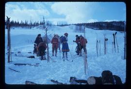
Image depicts numerous skiers on the Birchleg Ski route on Tabor Mountain in Prince George, B.C.
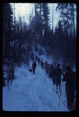
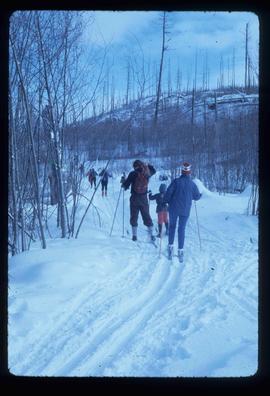
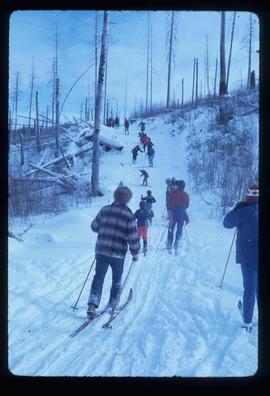
Image depicts numerous skiers cross-country skiing on a trail through trees on the Birchleg Ski route on Tabor Mountain in Prince George, B.C.
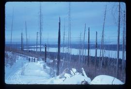
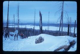
Image depicts a view of the area around Tabor Mountain in Prince George, B.C.
Image depicts numerous skiers and skis that are standing upright in in the snow on Tabor Mountain in Prince George, B.C.
Large-format map depicts Northwood Pulp & Timber operating areas in 1975.
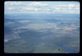
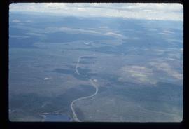
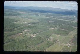
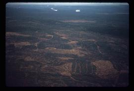
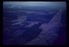
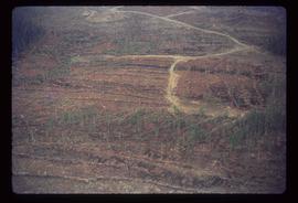
Image depicts an aerial view of areas that have been used for logging around Prince George, B.C.
Image depicts a highway, and a section of mountain in the background which is bare due to clear-cut logging. It is possibly somewhere near Prince George, B.C.
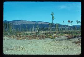
Image depicts a logging area, and a section of mountain in the background which is bare due to clear-cut logging. The slide is also labelled "logging show." It is possibly somewhere near Prince George, B.C.
Image depicts Tabor Mountain in the distance, located in Prince George, B.C.
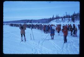
Image depicts a long line of people cross country skiing somewhere on Tabor Mountain in Prince George, B.C.
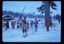
Image depicts a skier in a costume with a fake sword, somewhere on the Birchleg Ski route on Tabor Mountain in Prince George, B.C.
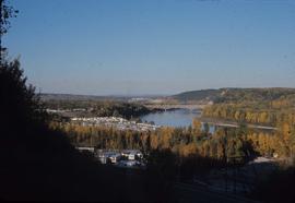
Image depicts Prince George from the view of Peden Hill.
Image depicts Prince George near the Airport Road.
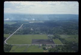
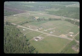
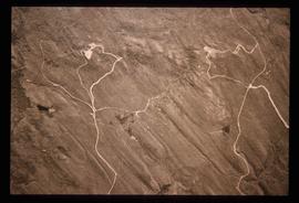
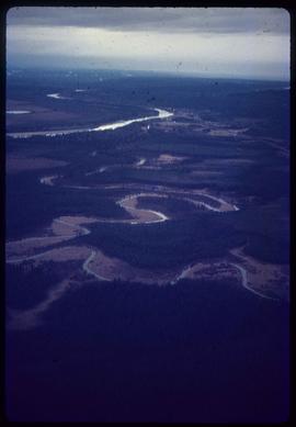
Image depicts an aerial view of the Ahbau area somewhere near Prince George, B.C.
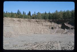
Image depicts layers of gravel at the BCR site in Prince George, B.C.
Image depicts a view of the area around Tabor Mountain in Prince George, B.C.
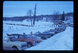
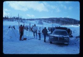
Image depicts a vehicle and a large group of skiers somewhere on Tabor Mountain in Prince George, B.C.
Image depicts a clearing in Prince George, B.C., possibly in the Pineview area.
Image depicts a clearing in Prince George, B.C.
Image depicts Tabor Mountain from the airport in Prince George, B.C.
Image depicts an example of varves, an annual layer of sediment or rock, possibly located at the airport in Prince George, B.C.
Image depicts layers of gravel at the BCR site in Prince George, B.C.
Image depicts a long line of people cross country skiing along the Birchleg route on Tabor Mountain in Prince George, B.C.
Image depicts numerous skiers cross-country skiing on a trail through trees on the Birchleg Ski route on Tabor Mountain in Prince George, B.C.
Image depicts numerous skiers on the Birchleg Ski route on Tabor Mountain in Prince George, B.C.
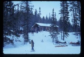
Image depicts numerous skiers at the cabin located at Troll Lake on Tabor Mountain in Prince George, B.C.
Image depicts grooving on Tabor Mountain in Prince George, B.C.
Image depicts grooves on Tabor Mountain in Prince George, B.C.
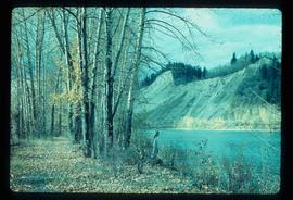
Image depicts a nature trail along the Nechako River at Island Cache looking west with the cutbanks in the background. Map coordinates 53°55'36.2"N 122°45'11.8"W
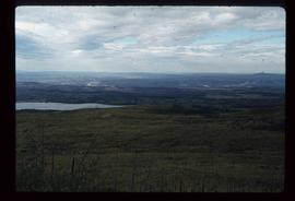
Image depicts the area surrounding Tabor Mountain. Prince George is slightly visible on the left side of the image in the background.
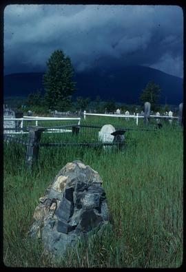
Image depicts a cemetery in the South Fort George suburb of Prince George, B.C.
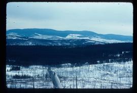
Image depicts a view of Tabor Mountain in Prince George, B.C.
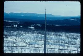
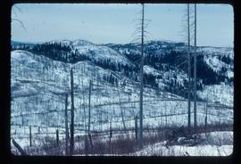
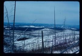
Image depicts a forest of dead trees on the slopes of Tabor Mountain in Prince George, B.C.
Image depicts the area surrounding Tabor Mountain. Prince George is slightly visible in the background.
Image depicts a logging area somewhere near Prince George, B.C.
Image depicts power lines east of the pulp mills in Prince George, B.C.
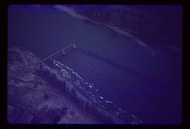
Image depicts the flows from a pulp mill in Prince George, B.C.
Image depicts an esker at the Foothills Boulevard in Prince George, B.C.
Image depicts an area undergoing logging somewhere in Prince George, B.C.
Image depicts Mud River, also known as the Chilako River, at Blackwater Road, Prince George, B.C.
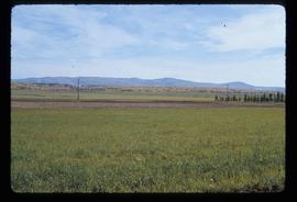
Image depicts an agricultural field, most likely near Prince George, B.C.
Image depicts a logging area somewhere near Prince George, B.C.
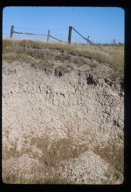
Image depicts layers of silt along the Chilako River near Blackwater Road, Prince George, B.C.
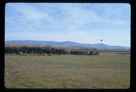
Image depicts natural meadows, possibly east of Prince Georg, B.C.
