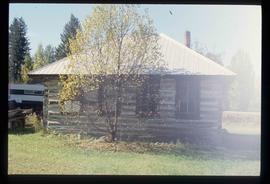
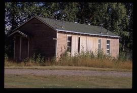
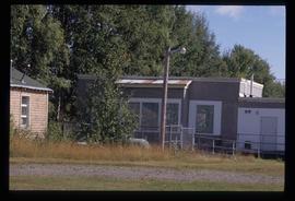
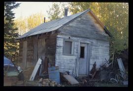
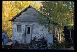
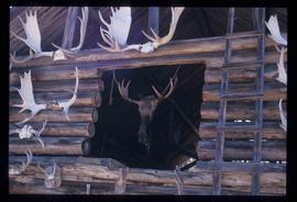
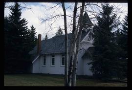
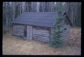
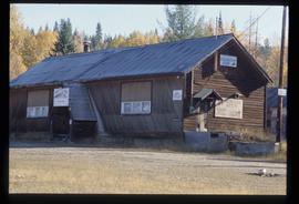
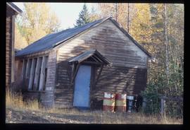
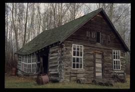
Image depicts an old building, possibly the old teacherage, somewhere in Hixon, B.C.
Image depicts an old building, possibly the old school, somewhere in Hixon, B.C.
Image depicts a clearing through the woods, possibly an abandoned grade for the BCR. It is possibly located on Iron Road South, near Woodpecker B.C.
Image depicts Iron Road North, and a creek surrounded by trees. Located north of Woodpecker, B.C.
Image depicts a forest, possibly somewhere near Woodpecker, B.C.
Image depicts a dog in a forest, possibly somewhere near Woodpecker, B.C.
Image depicts a tree line in Woodpecker, B.C.
Image depicts a view south, possibly of an abandoned grade for the BCR; possibly somewhere near Woodpecker, B.C.
Image depicts a north view of a road somewhere in Woodpecker, B.C.
Image depicts a wood cabin with antlers somewhere in Mud River, B.C.
Image depicts the Mud River.
Image depicts a rail road bridge over the Mud River.
Image depicts St. Mark's Anglican Church in Woodpecker, B.C.
Image depicts the St. Mark's Anglican Church and a small house in Woodpecker, B.C.
Image depicts a creek near Iron Road North, north of Woodpecker, B.C.
Image depicts a ditch near a road somewhere in Woodpecker B.C.
Image depicts a pair of dogs in a forest, possibly somewhere near Woodpecker, B.C.
Image depicts a forest, possibly somewhere near Woodpecker, B.C.
Image depicts a tree line in Woodpecker, B.C.
Image depicts a cabin somewhere in Mud River, B.C.
Image depicts a building in Reid Lake
Image depicts the Salmon School in the Prince George vicinity.
Image depicts Iron Road South, which is located north of Woodpecker, B.C.
Image depicts a creek near Iron Road North, north of Woodpecker, B.C.
Image depicts a pair of dogs in a forest, possibly somewhere near Woodpecker, B.C.
Image depicts a tree line in Woodpecker, B.C.
Image depicts a road somewhere in Woodpecker, B.C.
Image depicts the Mud River.
Image depicts a cabin somewhere in Mud River, B.C.
Image depicts the Cottonwood Canyon.
Image depicts an old shed in Woodpecker, B.C.
Image depicts a building in Reid Lake
Image depicts the teacherage for the Salmon School, located in the Prince George vicinity.
Image depicts the street sign for Iron Road South, which is located north of Woodpecker, B.C.
Image depicts a clearing through the woods, possibly an abandoned grade for the BCR. It is possibly located on Iron Road South, near Woodpecker B.C.
Image depicts a back road at an uncertain location, possibly near Iron Road North, north of Woodpecker, B.C.
Image depicts a water-filled ditch near a road somewhere in Woodpecker B.C.
Image depicts a north view of a road somewhere in Woodpecker, B.C.
Image depicts a wood cabin with antlers and a moose head somewhere in Mud River, B.C.
Image depicts St. Mark's Anglican Church in Woodpecker, B.C.
Image depicts an old shed in Woodpecker, B.C.
Image depicts the Buckhorn Snowmobile Club, though it was formerly the Buckhorn school.
Image depicts the annex for the Buckhorn Snowmobile club.
Image depicts a log cabin, possibly in Beaverly.
Image depicts the school site in Stoney Creek.
Image depicts the Two Rivers Art Gallery in Prince George, B.C.
Image depicts the La Tienda Hair and Nail Salon on an uncertain street somewhere in Prince George, B.C.
Image depicts the CN Building in Prince George, B.C.
Image depicts a view of George Street with the Prince George City Hall at the corner of George Street and 7th Avenue.