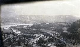
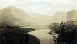
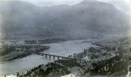
Photograph depicts the confluence of the Cayoosh Creek outflow into the Fraser River in Lillooet, BC. Seton River is visible in the foreground. This area is Cayoose Creek Band (Sekw'el'wás First Nation) territory and includes land currently encompassed within Cayoosh Creek Indian Reserve 1. The Pacific Great Eastern Railway bridge over the Fraser River is also visible in the background.
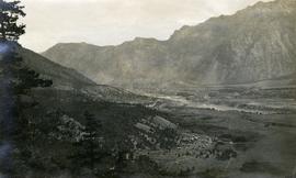
Photograph depicts a view of the Lillooet Indian Reserve in the foreground; the town of Lillooet and the Fraser River are visible beyond.
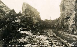
Photograph depicts the making of a rock cut on the Pacific Great Eastern Railway line at the Lillooet end of Seton Lake during railway construction.
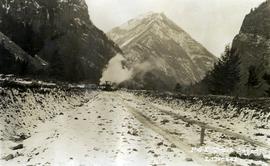
Photograph depicts Pacific Great Eastern Railway track laying near Lillooet during railway construction. In the foreground, the railway grade along the south side of Cayoosh Creek about 1.5 miles before the junction with the Fraser River is depicted.
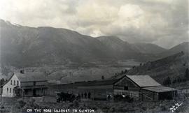
Photograph depicts a ranch home and barn along the road from Lillooet to Clinton. The location is believed to be a homestead 2 miles south of Pavilion Station. Two cars are parked beside the property, with a number of men nearby.
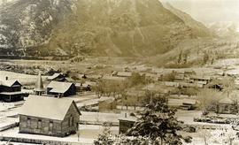
Photograph depicts a view of Lillooet's Main Street looking south southeast. The St. Andrew's United Church is visible in the foreground; the Anglican church is visible at the end of the street.
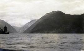
Photograph depicts a view of Seton Lake taken at Retasket, looking towards Lillooet. Retasket was a whistle stop siding on the Pacific Great Eastern Railway line.
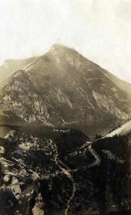
Photograph depicts a view of Seton Lake and the surrounding area, including the Pacific Great Eastern railway line. The railway grade is visible at left. Also visible is the Seton Lake fish hatchery at the east end of the lake and its employee boarding house, superintendent's cottage, and weir at the head of what was then referred to as "Lake Creek". The road seen in the centre foreground travelled from Lillooet to Seton Lake then to Golden Cache Mine.
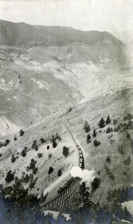
Photograph depicts a view of a train crossing the Sallus Creek wooden trestle along the Pacific Great Eastern Railway line near Lillooet, Fountain, and Pavilion. The angle of the photograph is looking north towards the Fraser River.
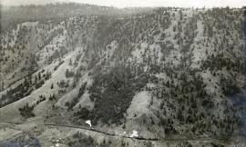
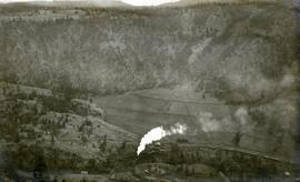
Photograph depicts a view of a train on the Pacific Great Eastern Railway line approximately 2 miles south of the Pavilion station.
Photograph depicts a view of the Pacific Great Eastern Railway bridge across the Fraser River at Lillooet.
Photograph depicts a Pacific Great Eastern Railway train on Pavilion Creek trestle at Mile 20.3. Also visible are a water tank and possibly the graveyard at Pavilion.
The ca. 1921-1927 “PGE Bridge List” from the notebook of William H. Hewlett (1914-1968) references a 389.4 foot long, 34 ft. high, framed trestle with 26 spans of 14.8 feet at Mile 20.3 carrying the line over Pavilion Creek. There was a water tank at Pavilion located between the North end of the siding and the South end of the trestle. A track profile chart confirms that the track at this point is on a 12 degree curve. This photograph was taken from a vantage point up the hill to the North. The structures at the lower left of this image (2020.08.82) are consistent with a small construction camp, which accounts for the presence of a camp cook in image 2020.08.83.
"Canadian Railway and Marine World" reported in their January 1916 issue (p. 11, c.1), that track had been laid to within ½ mile of Clinton (Mile 45.0) on Dec. 14, 1915. If a constant rate of construction had been maintained from Mile 14, reached on July 30, 1915 as previously discussed, to Clinton, the approximate date of completion to Pavilion would be around the end of August, 1915 which is probably the earliest possible date for this photograph.
Photograph depicts a view of the Pacific Great Eastern Railway bridge across the Fraser River and the nearby Lillooet surrounding area. The photograph shows Lillooet looking up Town Creek Valley. Chinese gold washing activity is visible nearby the bridge.
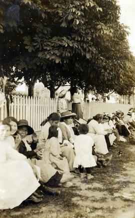
Photograph depicts a row of spectators wearing nice clothing, sitting on the curb in the shade of mature chestnut trees. Many of the spectators appear to be Indigenous women and children. They may be gathered to watch a parade or special event. There are Union Jacks and Canadian Red Ensign flags hanging in the trees, suggesting the event may be a Dominion Day event. Although the location is unknown, the presence of the chestnut trees suggests that this may have been taken on Lillooet Main Street.
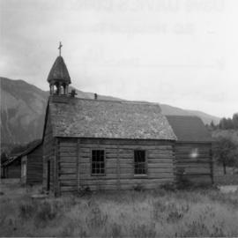
Photograph depicts a church that was built of shaped logs on the territory of the Tsal'alh Nation on the road leading to Seton Lake. Church was derelict, but still held pews, plastic flowers and small shrines.
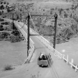
Photograph depicts a car crossing the Lillooet Suspension Bridge (also known as the Lillooet Old Bridge) over the Fraser River.
