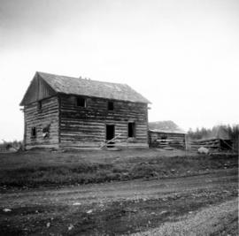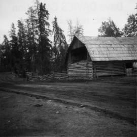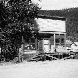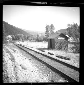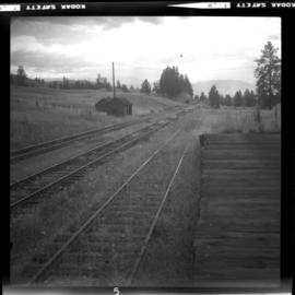
2013.6.36.1.079.20
·
Item
·
[26 May 1973]
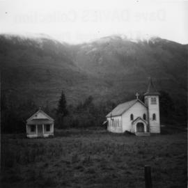
Parte de David Davies Railway Collection
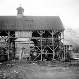
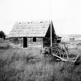
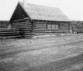
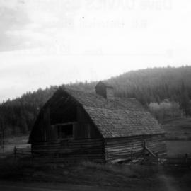
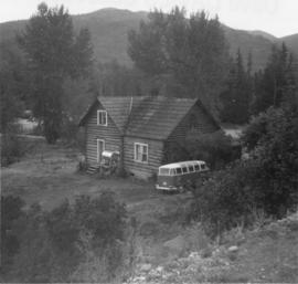
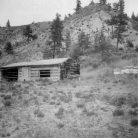
Photograph depicts a log cabin with a sod roof that was used as a cow shelter on Dot Ranch. The ranch was probably built by pioneers pior to 1900.