Showing 265 results
Archival description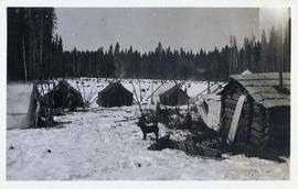
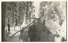
Campsite with dog, tents and shack
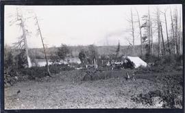
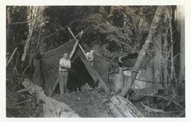
Man standing in front of a tent near an outdoor cooking area
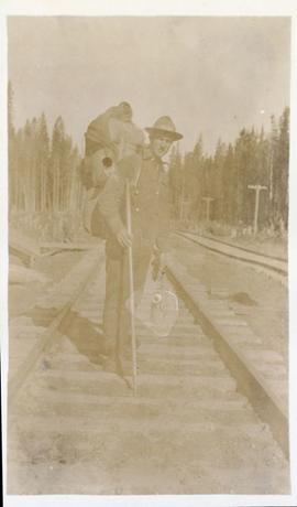
Surveyor with pack on railroad tracks
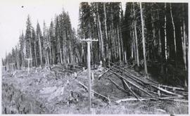
Powerline through forest with fallen logs and man on hillside
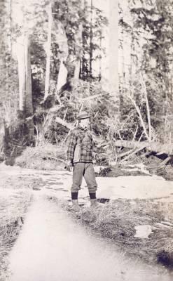
Man in forest clearing with hand outstretched
Man standing in front of a tent

Moving mountains in Prince Rupert, BC
Man standing in front of a tent with a stovepipe
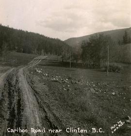
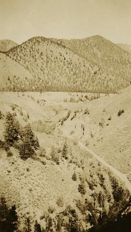
Cariboo Road near Clinton, B.C.

The last big blast in Prince Rupert, BC

The last big blast 21 January 1914
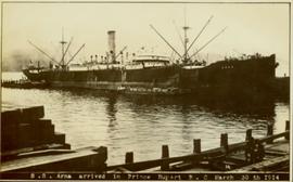
SS Arna arrived in Prince Rupert BC

GTP SS Prince Rupert Sept 28th

Lone man surveying the landscape from a snowy peak

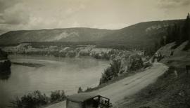
Hudson's Hope

Gordon Wyness Album
Columbia River Basin north of Wenatchee

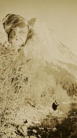
Lake Chelan
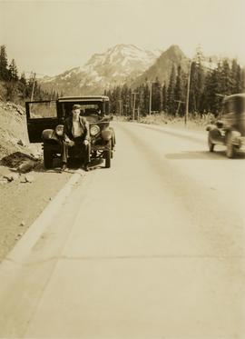
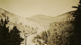
Snoqualmie Pass summit
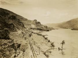
View of Fraser River from Soda Creek hill in June

Town of Lytton

Chasm
Fraser River at Marguerite

Dry belt country near Lytton

Chasm, BC

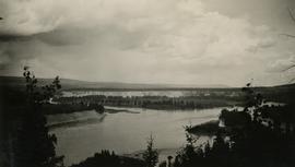
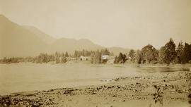
François Lake from ferry
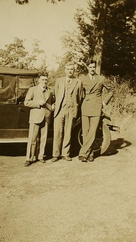
Jack Lee, Philip Monckton, and Gordon Wyness by car at Monckton's residence
Confluence of the Fraser and Thompson Rivers at Lytton
Town of Clinton
Dry belt country near Lytton
Jack Lee and Gordon Wyness drinking by a lake in Marble Canyon

View of Front Street and Quesnel Hotel from Fraser River Bridge in Quesnel

Gordon Wyness by heritage artefacts and cairn in Quesnel
Rock formations along the Cariboo Road north of Cache Creek

Surveyors taking bearings from Pineview Station tower
View of Quesnel and Fraser River Bridge
Town of Hope

Gordon Wyness, Louis LeBourdais, and Earl Malcolm at Twilight Lodge

Jack Lee and Gordon Wyness with survey equipment on reserve
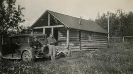
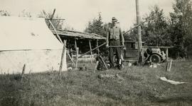
Jack Lee and Philip Monckton at Burns Lake cabin
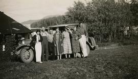
Group portrait at Francois Lake
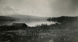
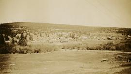
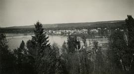
View of Burns Lake

Gordon Wyness and Jack Lee at Bobtail campsite near Vanderhoof

Jack Lee rafting on Bobtail Lake

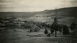
View of Prince George from east hill
View of Williams Lake from Chilcotin Road

Jack Lee at Bobtail campsite after returning from Bobtail Mountain
Gordon Wyness at Bobtail campsite after returning from Bobtail Mountain
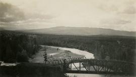
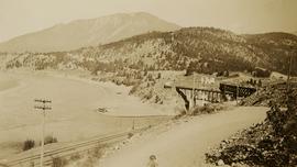
Bridges at Telkwa River
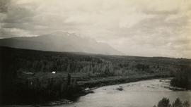
View of Hudson Bay Mountain from Telkwa water tower