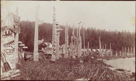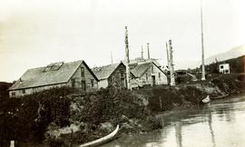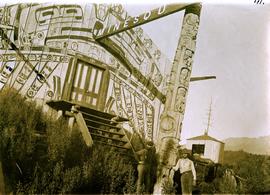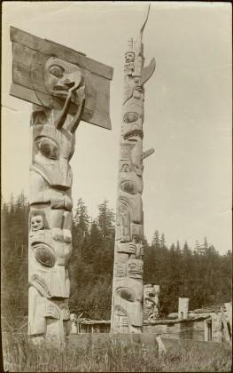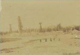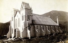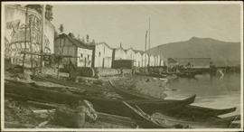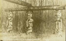
2009.7.1.095
·
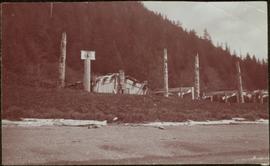
Item
·
[ca. 1876 - ca. 1920]
Part of Archdeacon W. H. Collison fonds
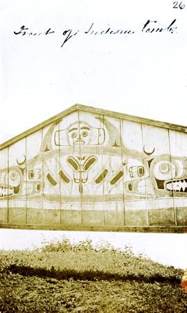
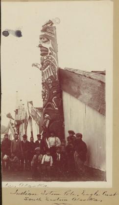
Totem poles (crest poles?) stand in front of a line of houses. Sandy beach in foreground, forest on hill in background.
Handwritten annotation on verso reads: "Kai sun W. Coast Q.C.I."