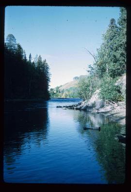
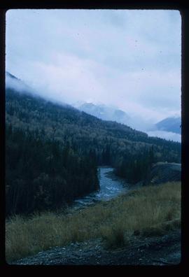
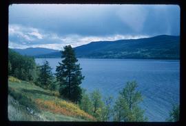
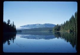
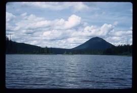
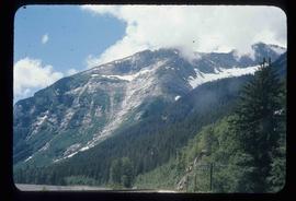
Imprimir vista previa Cerrar

Mostrando 1985 resultados

Archival description
Houses
2012.13.1.22.01 · Item · 1970
Parte de J. Kent Sedgwick fonds

Image depicts a number of small houses at Island Cache.

Ruined Cars
2012.13.1.22.16 · Item · 1970
Parte de J. Kent Sedgwick fonds

Image depicts several old, ruined cars and an unknown individual in Island Cache.

Animal Pen?
2012.13.1.22.28 · Item · 1970
Parte de J. Kent Sedgwick fonds

Image depicts what appears to be an animal pen in Island Cache. There is a goat and numerous chickens in the image, as well as a pile of miscellaneous material.

Houses
2012.13.1.22.30 · Item · 1970
Parte de J. Kent Sedgwick fonds

Image depicts a few houses in Island Cache. There are two unknown individuals present.

Rearguard Falls
2012.13.1.85.02 · Item · 1970
Parte de J. Kent Sedgwick fonds

Image depicts the Rearguard Falls in Rearguard Falls Provincial Park near Tête Jaune Cache along the Yellowhead Highway.

Yellowhead Pass?
2012.13.1.85.03 · Item · 1970
Parte de J. Kent Sedgwick fonds

Image depicts a view of what is possibly the Yellowhead Pass on the British Columbia-Alberta border, west of Jasper A.B.

A Shed?
2012.13.1.87.114 · Item · [between 1970 and 1990]
Parte de J. Kent Sedgwick fonds

Image depicts what appears to be a shed at an uncertain location.

Tabor View
2012.13.1.3.003 · Item · Oct. 1970
Parte de J. Kent Sedgwick fonds

Image depicts a view of Tabor Mountain in Prince George, B.C.

Evaporation Pan
2012.13.1.121.10 · Item · July 1970
Parte de J. Kent Sedgwick fonds

Image depicts an evaporation pan for water evaporation measurements. The location is uncertain.

Houses
2012.13.1.22.17 · Item · 1970
Parte de J. Kent Sedgwick fonds

Image depicts a few houses and a dog on a porch at Island Cache.

Nechako River?
2012.13.1.22.19 · Item · 1970
Parte de J. Kent Sedgwick fonds

Image depicts a body of water in Island Cache. It is possibly a small section of the Nechako River.

Houses
2012.13.1.22.03 · Item · 1970
Parte de J. Kent Sedgwick fonds

Image depicts a number of small houses at Island Cache.

Evaporation Gauge (Atmometer)
2012.13.1.121.07 · Item · July 1970
Parte de J. Kent Sedgwick fonds

Image depicts an atmometer. According to the slide, it is being used for measuring the rate of water evaporation "from carborundum stone." The location is uncertain.

Intrusion
2012.13.1.124.01 · Item · 1970
Parte de J. Kent Sedgwick fonds

Image depicts what is possibly an intrusive volcanic landform somewhere near Miworth, B.C.

Slopes
2012.13.1.129.02 · Item · 1971
Parte de J. Kent Sedgwick fonds

Image depicts the slopes of Tabor Mountain in Prince George, B.C.

Slough - Canoeing
2012.13.1.55.35 · Item · 1971
Parte de J. Kent Sedgwick fonds

Image depicts a few unknown individuals canoeing in a slough area while on approach to Bowron Lake.

Slough
2012.13.1.55.37 · Item · 1971
Parte de J. Kent Sedgwick fonds

Image depicts a slough area while on approach to Bowron Lake.