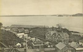
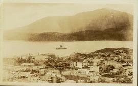
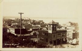
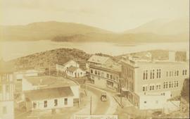
2011.3.3.16
·
Item
·
[ca. 1910]
Parte de North Coast & Central BC Postcard Collection
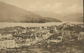
Boats, docks, ships and a large building in waterscape. Printed annotation on recto reads: “Prince Rupert B.C.” Handwritten annotation in pencil on verso reads: “McRae Bros”.