2023.7.3.63
·
Item
·
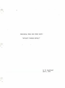
Apr. 1978
Part of Grant Hazelwood fonds
Item is a photocopy of "Provincial Parks and Stone Sheep: 'Affinity Through Default'" report by W.G. Hazelwood, Parks Biologist.