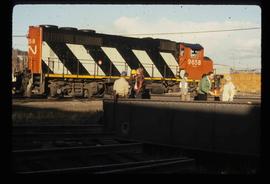
Image depicts a train and a group of unknown individuals at the GTP roundhouse in Prince George, B.C.
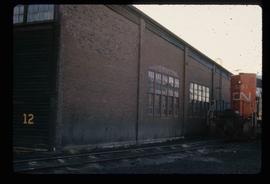
Image depicts the Grand Trunk Pacific railway roundhouse in Prince George, B.C.
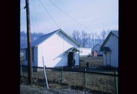
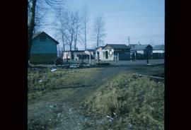
Image depicts a number of small houses at Island Cache.
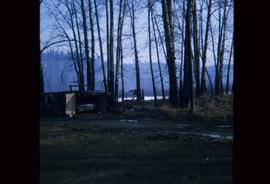
Image depicts a stand of trees and a shed at Island Cache.
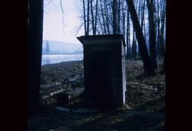
Image depicts what is likely an outhouse at Island Cache.
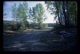
Image depicts a clearing at Island Cache.
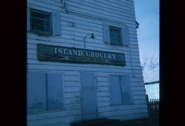
Image depicts a grocery store at Island Cache.
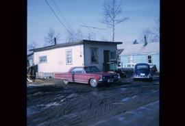
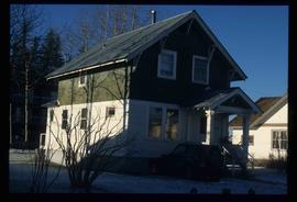
Image depicts a house in Island Cache. There are several cars parked outside it.
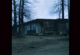
Image depicts a boarded up building in Island Cache.
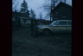
Image depicts two children standing near an old car in Island Cache.
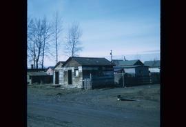
Image depicts a number of sheds in Island Cache.
Image depicts a number of sheds in Island Cache.
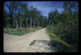
Image depicts a nature trail on Cottonwood Island.
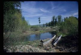
Image depicts Cottonwood Island.
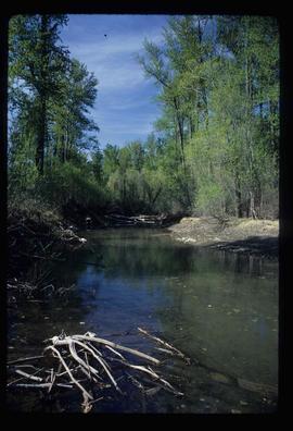
Image depicts a small stream somewhere on Cottonwood Island.
Image depicts a nature trail on Cottonwood Island.
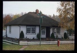
Image depicts 1423 Ingledew in Prince George, B.C.
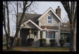
Image depicts 1598 Fir Street in Prince George, B.C.
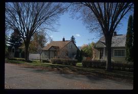
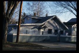
Image depicts 1465 Elm Street, 1445 Elm Street, and 1425 Elm Street in the Millar Addition neighbourhood of Prince George, B.C.
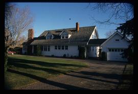
Image depicts 1425 Taylor Drive in Prince George, B.C.
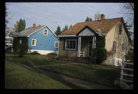
Image depicts 1650 Dogwood Street and 1670 Dogwood Street in the Millar Addition neighbourhood in Prince George, B.C.
Image depicts a property given to the Veterans of the Second World War, located on the corner of 15th Avenue and Elm Street in Prince George, B.C.
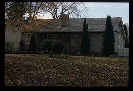
Image depicts 1510 Fir Street in Prince George, B.C.
Image depicts 1590 Fir Street in Prince George, B.C.
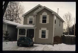
Image depicts 135 Patricia Boulevard in Prince George, B.C.
File consists of a transcript of an oral history interview with Steve Kolida.
File consists of a transcript of an oral history interview with Earl Lousier and Harry Gairns.
File consists of a transcript of an oral history interview with Jean May.
File consists of a transcript of an oral history interview with Horst Sander. Also includes photocopies of Horst Sander's personal records, such as a tree farm license.
File consists of a transcript of an oral history interview with John and Bernice Trick.
File consists of a transcript of an oral history interview with Crissie Ward and Laureen Stewart.
This 75th anniversary history of the Quest Club presented by Margaret Moffat and Joan Grainger at a celebratory luncheon held at Esther's Inn on October 12th, 1999 was gleaned from the History of the Quest Club prepared by Joy McMillan and Joan Grainger in 1984 for the 60th Anniversary of the Quest Club, and from Minutes of the Quest Club meetings up to 1999.
The Quest Club was started by six Prince George women who quested for more information in all fields of knowledge.
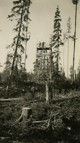
Photograph depicts two surveyors (Jack Lee, Gordon Wyness, or Philip Monckton) taking bearings from Pineview Station tower east of Prince George. Their surveying transit and telescope are visible in the image.
File consists of a transcript of an oral history interview with Kate Anderson and Mae Romanin.
File consists of a transcript of an oral history interview with Jack Boudreau. Also includes photocopies of Jack Boudreau's personal records, such as the Diary of Ada (Adelia) Sykes.
File consists of a transcript of an oral history interview with Jim Burbee.
File consists of:
- David Mills, "Aleza Lake Research Forest Historical Internship Summary" (2 Jan. 2007), 26 p. - In print and original digital .doc file
- David Mills, "Aleza Lake Forest Experiment Station Socio-Economic Time Line 1905-1937" (2007), 68 p. - In print and original digital .doc file
- ALRFS employment paperwork for David Mills, the ALRFS Natural Resource History Intern
- Research notes, including a copy of a map of the town of Aleza Lake in the 1920s
Map reproduction of the Aleza Lake Research Forest depicts timber sale areas, forest cover, and other details.
File is a Resource Folio of maps and accompanying information created by Northwood Pulp & Timber regarding Timber Sale Harvesting Licence A01847, Willow River Block, Willow River P.S.Y.U. Includes maps that depict ungulates, waterfowl, recreation areas, special influence areas, and timber types. Most of the sheets have a duplicate, some with very slight variations. The following maps are supposed to be included in the but were missing upon arrival at the Archives: fish & topography, cutting permits & roads, and soils.
Photographs are panoramas taken from the Churchill BC Forest Service Lookout, located at latitude 54°04' and longitude 122°16'. The photographs were bound together and include a transparent grid that was intended to be used for locating forest fires.
Slide depicts a cleared area in a forest, likely at the Aleza Lake Experiment Station.
Slide depicts cleared ground and felled trees in a forested area, likely at the Aleza Lake Experiment Station.
File consists of an audio recording of an interview with Jack Boudreau. Includes one original recorded audio cassette and one copy.
File consists of an audio recording of an interview with Lea Gobbi and Kate Anderson. Includes two original recorded audio cassettes and two copies.
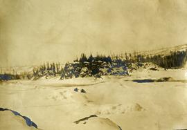
Photograph depicts two people and a dog team on a snowy river bank with a narrow passage of open water and a snowy bluff in the background.
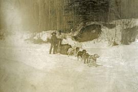
Photograph depicts a four-dog team harnessed to a loaded sleigh. Two people stand near the loaded sleigh on a snowy forest path.
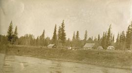
Photograph depicts a small cluster of buildings near the river bank.
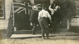
Photograph depicts four men pinning a "Union Jack" flag to the exterior of a building.
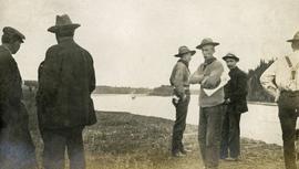
Photograph depicts several men standing on the river bank. Possibly A.H. Holland in center of photo.
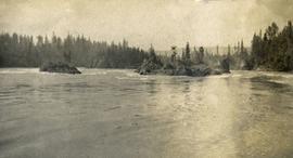
Photograph depicts the rough waters and rocks at Fort George Canyon.
