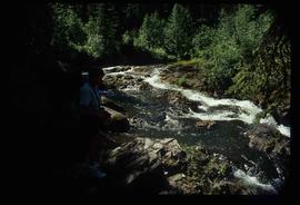
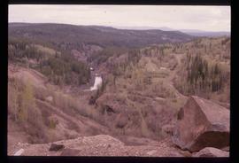
Image depicts the Tsilcoh Falls, north of Fort St. James and somewhere near Pinchi Lake Road.
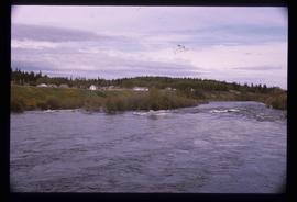
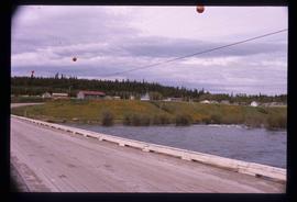
Image depicts Nautley and the Nautley River near Fraser Lake, B.C.
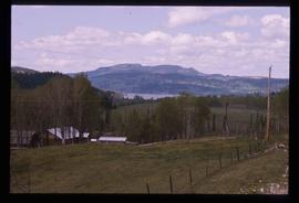
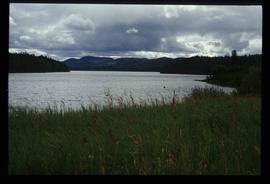
Image depicts a section of land on the east end of Francois Lake. The lake is visible in the distance.
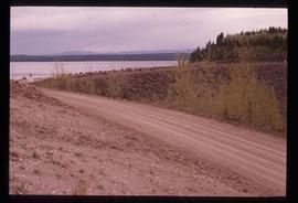
Image depicts Kenny Dam, south of Francois Lake, and southwest of Vanderhoof, B.C.
File consists of a conference paper titled "The Political Scrutiny and Control of Security and Intelligence Services: The Case of Scandinavia" presented by Weller at SASS, University of Washington, Seattle, 28 Apr.-May 1, 1999. This file was originally numbered to correspond with conference paper number 103 listed in Weller's CV.
File consists of a conference paper titled "Universities and Development: The Case of the Pacific Island Universities" present by Geoffrey Weller at INRUDA, Paris, June 8-10, 1999. This file was originally numbered to correspond with conference paper number 104 listed in Weller's CV.
File consists of an original Forest Research Note published by the BC Forest Service Prince George Forest Region. This March 1999 note (#PG-16) is an article by Paul Sanborn, Marty Kranabetter, and Chuck Bulmer on "Soil Rehabilitation in the Prince George Forest Region: A review of two decades of research".
File contains an original "Prince George Land and Resource Management Plan" published by the Government of British Columbia.
Mylar map depicts the area encompassed by the Aleza Lake Research Forest.
Annotation on slide: "Horse-logging single-tree selection, Pass Lake SBSvk"
File consists of photocopied research materials on a variety of subjects relating to Ainley's ornithology research.
File consists of various documents regarding the Nechako River Alliance, Nechako Environmental Enhancement Fund (NEEF), and the creation of the Nechako Watershed Council between 1998 and 1999. Includes a Nechako River Alliance "Statement of Unity", a "Proposal to the Nechako Environmental Enhancement Fund" from Nechako River Alliance, a Royal Society of Canada "Expert Panels: Manual of Procedural Guidelines", a report prepared for the NEEF Management Committee entitled "NEEF Multi-Interest Involvement Process: Report on Community Festival Displays", correspondence from NEEF, a NEEF "Design Workbook for a Technical/Scientific Review", a Rescan Environmental Services report prepared for NEEF entitled "Nechako River: Summary of Existing Data", and a report prepared for the NEEF Management Committee entitled "Multi-Interest Involvement Process October 1999 Workshop Report".
File consists of the following photocopied articles:
- "Collecting Plants Beyond the Frontier in Northern British Columbia" by Mary Gibson Henry
- "Exploring and Plant Collecting in Northern British Columbia" (1933) by Mary Gibson Henry
- "A Thousand Miles Exploring on Horseback in Northern British Columbia" (1935) by Mary Gibson Henry
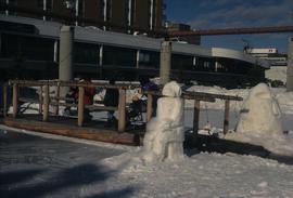
Image depicts two snow sculptures near a wooden bridge on an ice rink, possibly during the Winter City Conference, in Prince George, B.C. Taken at the Prince George Civic Center. Map coordinates 53°54'45.6"N 122°44'59.6"W
Image depicts McLeod lake.
Image depicts Nautley and the Nautley River near Fraser Lake, B.C.
Image depicts a stretch of land; the photo was taken from the top of Kenny Dam, south of Francois Lake.
File contains slides depicting places in the area around Williams Lake, Clinton, and the Fraser Canyon.
Annotation on slide: "BCMoF"
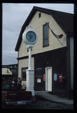
Image depicts the post office in Atlin, B.C.
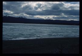
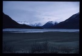
Image depicts a lake somewhere along what is possibly the Atlin Road to Atlin, B.C.
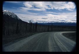
Image depicts what is possibly Atlin Road. Numerous mountains are visible in the distance.
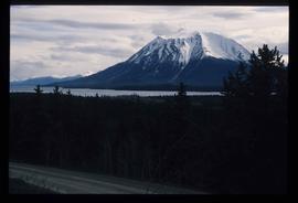
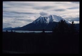
Image depicts a mountain, possibly Atlin Mountain.
Image depicts a mountain, possibly Atlin Mountain.
Image depicts Bennett Lake near Carcross, Y.T.
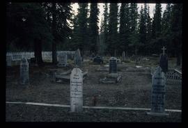
Image depicts numerous graves in the Atlin Cemetery.
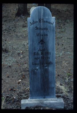
Image depicts the grave of John Elmwood Simons in the Atlin Cemetery. It reads: "died Feb. 8, 1914, age 61 yrs. froze to death."
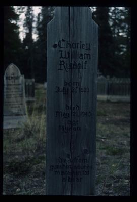
Image depicts the grave of Charley William Rudolf in the Atlin Cemetery. It reads: "Born July 2, 1923. Died May 21, 1940. Age 16 years. Died from gunshot wounds, mistaken for a bear."
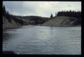
Image depicts a river at an uncertain location, but possibly in Miles Canyon near Whitehorse, Y.T.
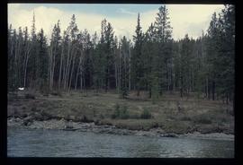
Image depicts numerous trees on the bank of a river, possibly in Miles Canyon near Whitehorse, Y.T. The slide is labelled "canyon city."
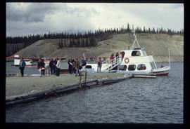
Image depicts numerous unidentified individuals getting off a boat which bears the name "Schwatka." It is located somewhere in Miles Canyon.
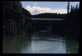
Image depicts the Robert Lowe Bridge, built in 1922, in the Miles Canyon near Whitehorse Y.T.
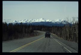
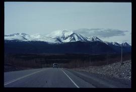
Image depicts a van on a highway with mountains in the distance; the location is uncertain, though it is possibly along the Alaska Highway.
Image depicts a van on a highway with mountains in the distance; the location is uncertain, though it is possibly along the Alaska Highway.
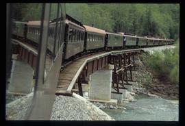
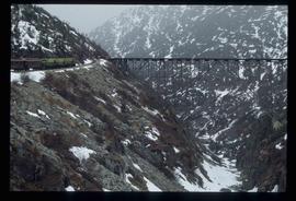
Image depicts the White Pass Train crossing over a railway bridge at an uncertain location.
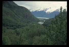
Image depicts a view over a forested, mountainous area and a river somewhere in the area of Skagway, Alaska.
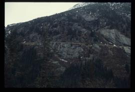
Image depicts a mountain side somewhere along the White Pass railway. The thin ridge along the mountain side is possibly either a highway or part of the railway.
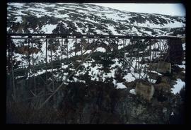
Image depicts an old trestle along the White Pass railway.
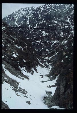
Image depicts an old trestle along the White Pass railway.
Image depicts an old trestle along the White Pass railway, and the White pass Train on the left of the image.
Image depicts a train on the Hansard Bridge across the Fraser River looking west. Map coordinates 54°04'37.7"N 121°50'39.9"W
Image depicts the small town of Fraser, B.C. Located on the Klondike Highway.
File consists of a transcript of an oral history interview with Jack Boudreau. Also includes photocopies of Jack Boudreau's personal records, such as the Diary of Ada (Adelia) Sykes.
File consists of an audio recording of an interview with Jack Boudreau. Includes one original recorded audio cassette and one copy.
File consists of summary information for Aleza Lake Research Forest field tours.
Map indicates locations of research trials and permanent plots in the Aleza Lake Research Forest. Map produced by Madrone Consultants.
File consists of an original copy of "Nechako Fisheries Conservation Program Workshop: The Last 10 Years and the Next 10 Years - Report on a Workshop held February 24th and 25th, 1998". Includes accompanying correspondence regarding the workshop report.
Series consists of Mundie’s records and collected material related to the Kemano Completion Project. Mainly includes copies of publications related to Mundie’s research and activities, such as reprints of journal articles, scientific reports, and government publications. Also includes a small portion of correspondence and internal DFO memoranda regarding the Nechako River court action.
Sans titreFile consists of records relating to the Fraser Basin Council's 1998 inaugiral State-of-the-Fraser Basin Conference. Includes issues of "Basin News: The Newsletter of the Fraser Basin Council", Hartman's handwritten notes, correspondence from the Fraser Basin Council regarding the conference, and worksheets from conference sessions.
File consists of a conference paper titled "Universities in Northern Canada" presented by Weller at the Western Regional Science Association conference, Monterey, California, 18-21 Feb. 1998. This file was originally numbered to correspond with conference paper number 100 listed in Weller's CV.
