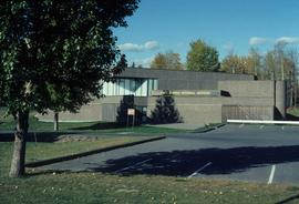
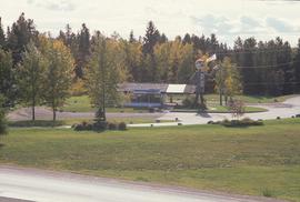
Image depicts the Fort George Regional Museum (now known as The Exploration Place) in Prince George, B.C. Map coordinates 53°54'18.6"N 122°44'09.8"W
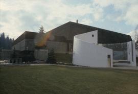
Image depicts the Four Seasons Leisure Pool, and the Centennial Fountain in Prince George, B.C. Map coordinates 53°54'48.5"N 122°44'49.2"W
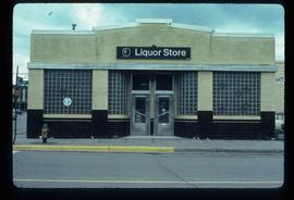
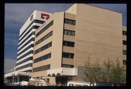
Image depicts the BC Liquor Store in Prince George, B.C.
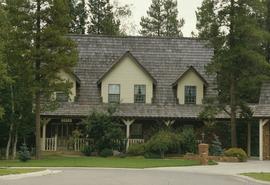
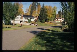
Image depicts a Cariboo Ranch style house at College Heights in Prince George, B.C.
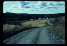
Image depicts a house on Blackwater Road.
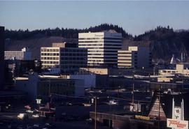
Image depicts downtown Prince George looking northwest. Map coordinates 53°54'48.7"N 122°44'45.6"W
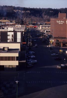
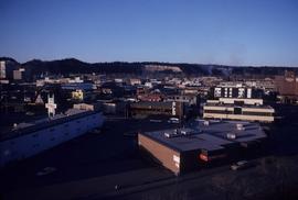
Image depicts a view of Prince George from City Hall looking northeast along George Street. Map coordinates 53°54'46.3"N 122°44'41.9"W
Image depicts downtown Prince George taken from City Hall looking north. Map coordinates 53°54'46.2"N 122°44'43.9"W
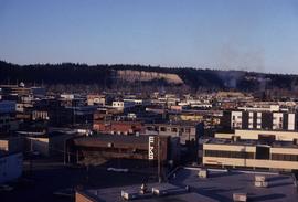
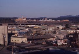
Image depicts a view of Prince George from City Hall looking northeast with the pulp mills in the background. Map coordinates 53°54'46.3"N 122°44'41.9"W
Image depicts downtown Prince George taken from City Hall looking north. Map coordinates 53°54'46.2"N 122°44'43.9"W
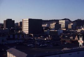
Image depicts downtown Prince George taken from City Hall looking northwest. Map coordinates 53°54'46.2"N 122°44'43.9"W
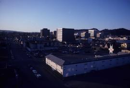
Image depicts downtown Prince George taken from City Hall looking northwest. Map coordinates 53°54'46.2"N 122°44'43.9"W
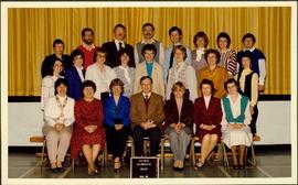
Photograph depicts group of 23 men and women posed for photo in gymnasium. Plaque in foreground reads "QUINSON ELEMENTARY STAFF 1985 86". Bridget Moran stands third from left in middle row.
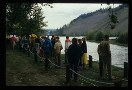
Image depicts a large crowd of people on a section of the Heritage Trail on Cottonwood Island in Prince George, B.C.
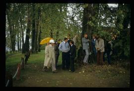
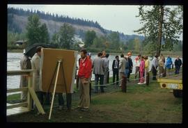
Image depicts a crowd of people in Cottonwood Park in Prince George, B.C.
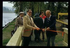
Image depicts Elmer Mercier, a former mayor of Prince George, B.C., cutting the ribbon to open Cottonwood Park's Heritage Trail.
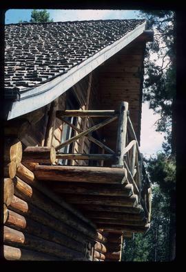
Image depicts the balcony of a log house, likely somewhere in or near Prince George B.C.
Image depicts a the Cottonwood Island Nature Park sign and map in Prince George, B.C.
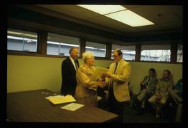
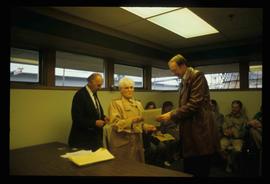
Image depicts a man and woman shaking hands in a building at an uncertain location, possibly in Cottonwood Park. The man standing behind the two is possibly Elmer Mercier, a former mayor of Prince George, B.C.
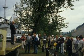
Image depicts a group of people in Cottonwood Park with an individual, possibly former mayor Elmer Mercier, making an announcement.
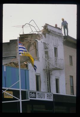
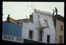
Image depicts the demolition of the Europe Hotel in Prince George, B.C.
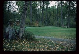
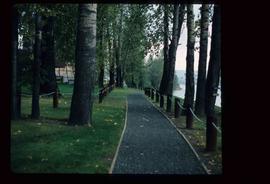
Image depicts a section of the Heritage Trail in Cottonwood Park.
Image depicts a the Cottonwood Island Nature Park sign and map in Prince George, B.C.
Image depicts a section of the Heritage Trail on Cottonwood Island in Prince George, B.C.
Image depicts a crowd of people on a section of the Heritage Trail on Cottonwood Island in Prince George, B.C.
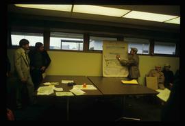
Image depicts a woman holding a sheet of paper in a room with numerous other unidentified individuals. The man standing behind her is possibly Elmer Mercier, a former Mayor of Prince George, B.C.
Image depicts the demolition of the Europe Hotel in Prince George, B.C.
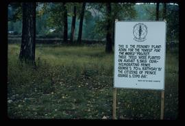
Image depicts a group of trees in the Cottonwood Park, with a sign which reads: "This is the primary plantation for the 'Forest for the World' project. These trees were planted on August 5, 1985, commemorating Prince George's 70th birthday by the citizens of Prince George & Expo 86'."
Image depicts a man holding up a board which appears to have maps of the Cottonwood Park on it.
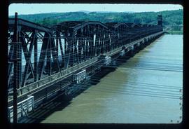
Image depicts a bridge in Prince George, B.C.
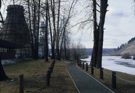
Image depicts a nature trail in Cottonwood Island Park by a beehive burner. Map coordinates 53°55'23.6"N 122°43'53.8"W
Image depicts an aerial view of Fort George Park.
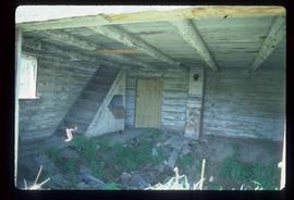
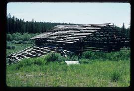
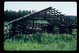
Image depicts the interior of an abandoned, deteriorating cabin on Blackwater Road.
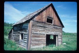
Image depicts an abandoned, deteriorating cabin on Blackwater Road.
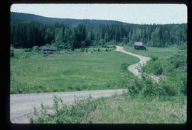
Image depicts an abandoned cabin and shed on Blackwater Road.
Image depicts a shed on Blackwater Road.
Image depicts a shed on Blackwater Road.
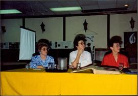
Photograph depicts Moran seated between two unidentified women at table with pitcher and large open book in front of them. Projection screen stands midground, banners hang on wall in background. Photograph taken during a three day meeting of the B.C. Council of the Canadian Federation of University Women, to honour the 25th anniversary of the Prince George club, and release the new edition of their book 'Prince George Street Names: Our History'. Handwritten annotation on recto of photograph: "4-5 Conf".
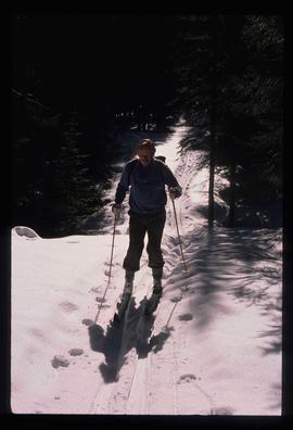
Image depicts an unidentified man cross country skiing somewhere on Tabor Mountain in Prince George, B.C.
Image depicts the cutbanks on the other side of the Nechako, taken from the nature trail at Island Cache. Map coordinates 53°55'34.6"N 122°45'52.4"W
Image depicts the cutbanks on the other side of the Nechako, taken from the nature trail at Island Cache. Map coordinates 53°55'34.6"N 122°45'52.4"W
Image depicts a neighbourhood on the Hart Highway in Prince George, B.C.
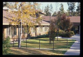
Image depicts Parkside Intermediate Care Home on Ospika Boulevard in Prince George. Map coordinates 53°55'02.6"N 122°47'41.6"W
Image depicts 3rd Ave at Victoria St. Map coordinates 53°55'03.9"N 122°44'54.8"W
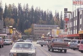
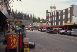
Image depicts George St in downtown Prince George with City Hall in the background. Also visible are the Prince George Hotel and a movie theatre. Map coordinates 53°54'55.0"N 122°44'36.1"W
Image depicts George St in downtown Prince George with City Hall in the background. Also visible are the Prince George Hotel, Ming's Inn Chinese Restaurant, Fraser Stationers Ltd., Weiner King food cart, and a movie theatre. Map coordinates 53°54'55.0"N 122°44'36.1"W
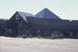
Image depicts Pine Centre Mall in Prince George, B. C. Map coordinates 53°53'53.2"N 122°46'36.4"W
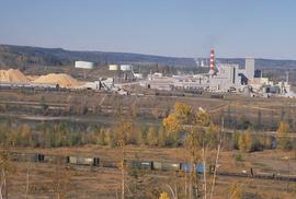
Image depicts the Northwood pulpmill in Prince George B.C.
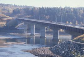
Image depicts the Yellowhead Bridge across the Fraser River. Map coordinates 53°54'45.2"N 122°43'27.9"W
Image depicts Mr. P.G. and the Tourism Information site at the intersection of Highway 16 and 97. Map coordinates 53°53'46.5"N 122°46'00.7"W
