File contains slides depicting various places in the USA.
File contains slides depicting recreational activities on Tabor Mountain in Prince George, B.C.
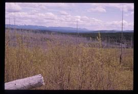
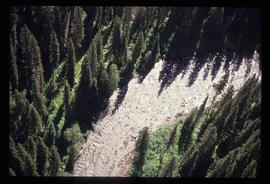
Image depicts a forest of dead trees on the slopes of Tabor Mountain in Prince George, B.C.
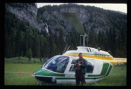
Image depicts a man standing in front of a helicopter; a waterfall is visible on the cliffs in the background. The slide itself is labelled "BC Parks Tour."
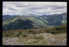
Image depicts a view of James Creek Valley.
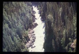
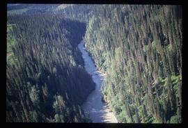
Image depicts a view of the Herrick River in what is possibly McGregor Canyon; the slide is simply labelled "McG Canyon."
Image depicts a view of the Herrick River in what is possibly McGregor Canyon; the slide is simply labelled "McG above Canyon."
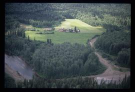
Image depicts an aerial view of what appears to be a small farm, possibly in the McGregor Canyon.
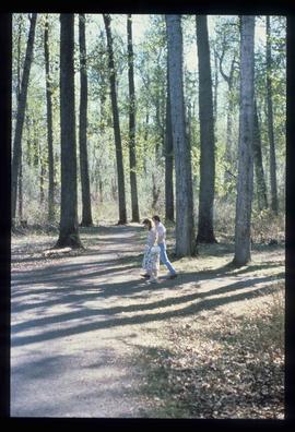
Image depicts a couple walking through a nature trail in Cottonwood Island Park. Map coordinates 53°55'23.6"N 122°43'53.8"W
Image depicts the cutbanks on the other side of the Nechako, taken from the nature trail at Island Cache. Map coordinates 53°55'34.6"N 122°45'52.4"W
Image depicts the Northwood pulpmill in Prince George B.C.
Image depicts a view of Blackburn Schools, possibly taken from Tabor Mountain.
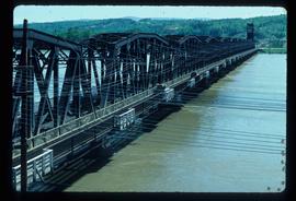
Image depicts a bridge in Prince George, B.C.
File consists of notes, reproductions, and letters relating to L.C. Gunn Park in Prince George. Includes: "Signage for Gunn Park" letter from Kent Sedgwick to the Mayor and Council (21 Dec. 1989); "L.C. Gunn viewpoint a proposal" documents within a duotang (1987); and "Donation to the City of Prince George" typescript letter from Graham Farstad to the Administration Committee ( 1 June 1988). Includes photographs depicting the opening of L.C. Gunn Park and the sign unveiling (3 Oct. 1988).
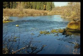
Image depicts a view of the Herrick River in what is possibly McGregor Canyon; the slide is simply labelled "McG Canyon - above Herrick."
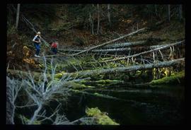
Image depicts numerous fallen trees and two unknown individuals somewhere in the Crooked River Provincial Park, near the Livingston Springs.
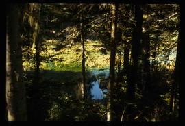
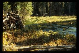
Image depicts the Livingston Springs in the Crooked River Provincial Park.
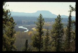
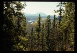
Image depicts a view of the Crooked River Provincial Park.
Image depicts the Livingston Springs in the Crooked River Provincial Park.
Image depicts the Livingston Springs in the Crooked River Provincial Park.
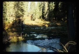
Image depicts the Livingston Springs in the Crooked River Provincial Park, with an unknown individual present.
Image depicts a view of the Crooked River Provincial Park.
File consists of the "Tweedsmuir Master Plan" prepared by the Province of British Columbia.
File contains slides depicting places around and between Lillooet and Howe Sound.
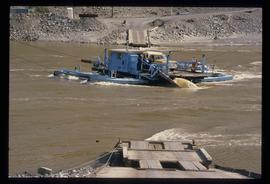
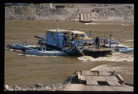
Image depicts a ferry on a river, possibly the Fraser River in the Lillooet area.
Image depicts a ferry on a river, possibly the Fraser River in the Lillooet area.
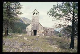
Image depicts an old and abandoned, collapsing church at an uncertain location.
File contains slides depicting areas in and around the Rockies, Icefield Highway, and Jasper, Alberta.
File contains slides depicting places in and around the Kamloops and Lillooet regions.
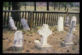
Image depicts numerous grave markers at an uncertain location.
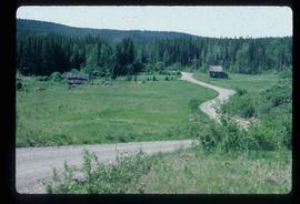
Image depicts an abandoned cabin and shed on Blackwater Road.
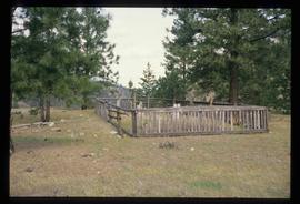
Image depicts a small graveyard at an uncertain location.
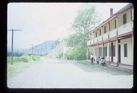
Image depicts the road leading to the historic Hat Creek Ranch site north of Ashcroft, B.C. Several individuals are sitting on the front porch of the Ranch house.
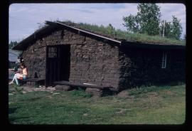
Image depicts what appears to be a mud house with grass and weeds growing on the roof at an uncertain location. An unknown woman is sitting on a bench outside of it.
File consists of a book and typescript correspondences. Includes: "Tweedsmuir Provincial Park Background Document" by the Province of British Columbia (1986).
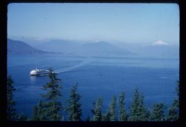
Image depicts a ferry entering Horseshoe Bay in the Howe Sound region.
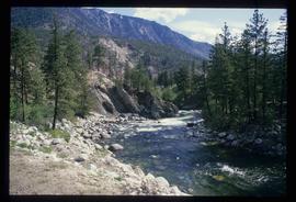
Image depicts a river at an uncertain location in either the Lillooet or Kamloops area.
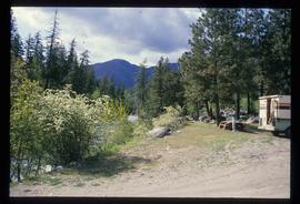
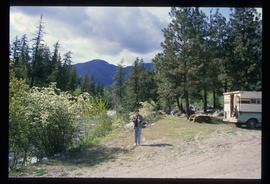
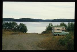
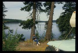
Image depicts Sue Sedgwick standing next to a camper.
Image depicts Sue Sedgwick standing on the bank of a river.
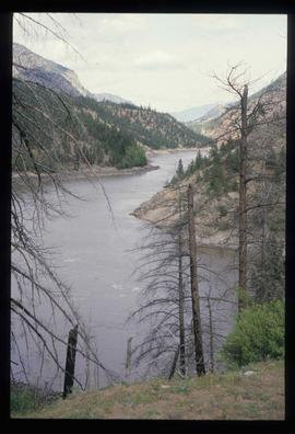
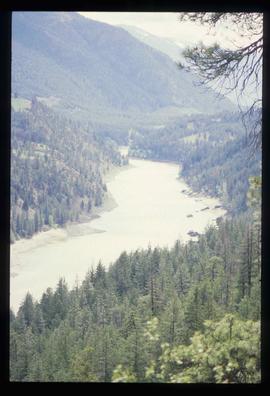
Image depicts what is possibly either the Fraser or the Thompson River.
Image depicts what is possibly either the Fraser or the Thompson River.
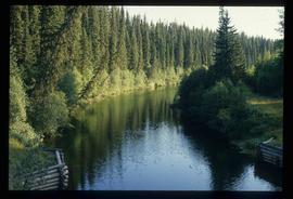
Image depicts the Salmon River by Fraser Lake.
File consists of a spiral bound booklet titled "A Report on the Historic Fort Mcleod's History and Archaeological Potential" by William George Quackenbush for Simon Fraser University.
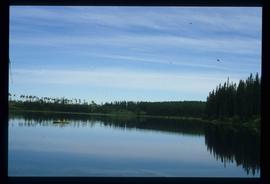
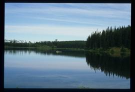
Image depicts the Fraser Lake.
Image depicts a canoe on the Fraser Lake.
Image depicts a canoe on the Fraser Lake.
Image depicts a bridge in Prince George, B.C.
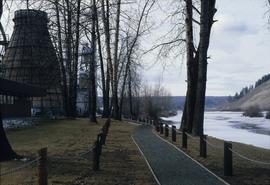
Image depicts a nature trail in Cottonwood Island Park by a beehive burner. Map coordinates 53°55'23.6"N 122°43'53.8"W
Image depicts the Fraser Lake.
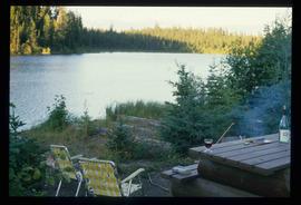
Image depicts Sue Sedgwick by the Fraser Lake.
