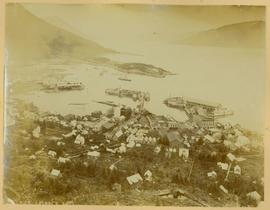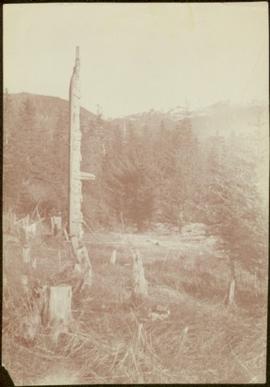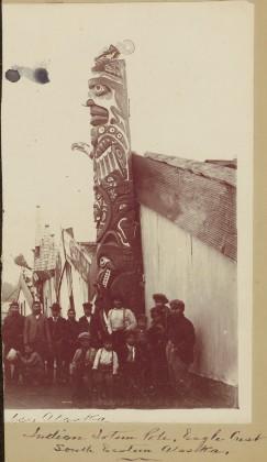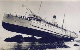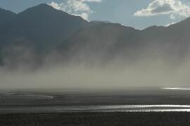
2009.10.1.83
·
Item
·
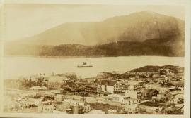
1928
Part of Fred Jeffery Photograph Collection
Photograph depicts a view of Hyder Alaska. Handwritten annotation below photograph reads, "Hyder Alaska 25/6/28".