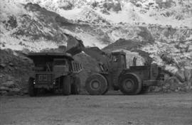
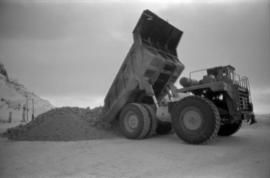
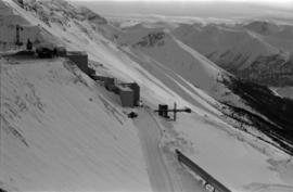
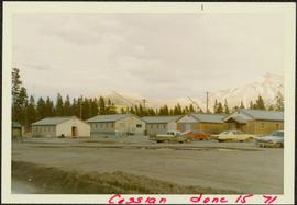
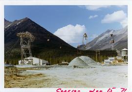
2000.1.1.3.18.013
·
Item
·
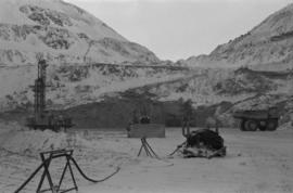
June 1987
Part of Cassiar Asbestos Corporation Ltd. fonds
Photograph depicts close up view of gravel pit, ruler displayed for scale. Photograph speculated to have been taken at the plant or near the Cassiar airstrip. Stamped annotation on recto of photograph: "JUN. 1987".