Showing 762 results
Archival description
Remove filter:
Dr. Paul Sanborn fonds
Remove filter:
Natural Resources
Remove filter:
With digital objects
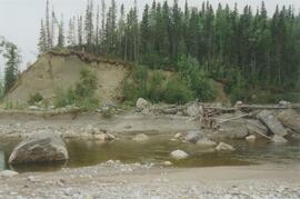
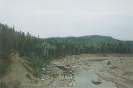
Red Ochre River (7)
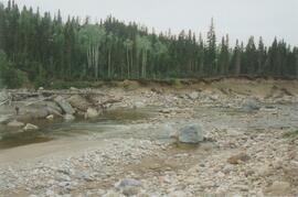
Red Ochre River (6)
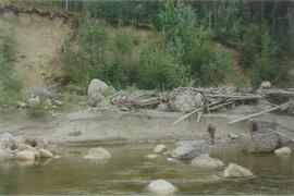
Red Ochre River (5)
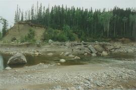
Red Ochre River (4)
Red Ochre River (3)
Red Ochre River (2)
Red Ochre River (1)
Rat Lake
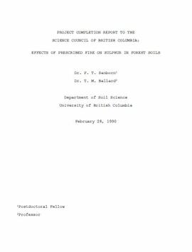
"Project Completion Report to the Science Council of British Columbia: Effects of Prescribed Fire on Sulphur in Forest Soils"
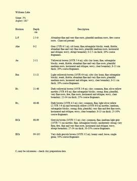
"Profile Descriptions"

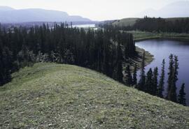
Pelly River and Yukon River confluence

Pelly River and Yukon River confluence

Paleosols at the Lost Chicken Mine, Chicken, Alaska

Paleosols at the Goldbottom site, Klondike goldfields

"Paleosol Studies at Inlin Brook, NWT: August, 2004 - Report to the Geological Survey of Canada"
Paleosol data from Inlin Brook and Red Ochre River sites

Nostoc Crust (Kluane NP, Lower Slims)

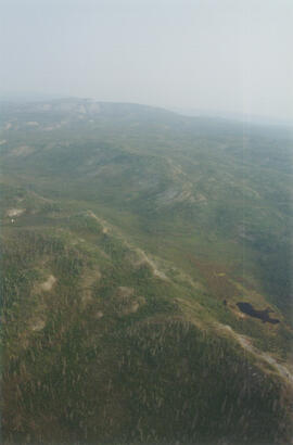
North side of Volcano Mountain

North side of Volcano Mountain

North side of Volcano Mountain

North side of Volcano Mountain

North side of Volcano Mountain

North side of Volcano Mountain

North side of the Yukon River, mid-Pleistocene basalts west of gully
Norman Range site with loess over till (3)
Norman Range site with loess over till (2)
Norman Range site with loess over till (1)
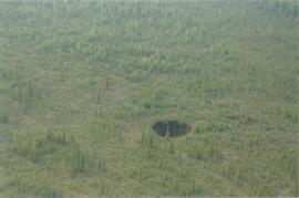
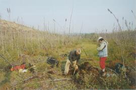
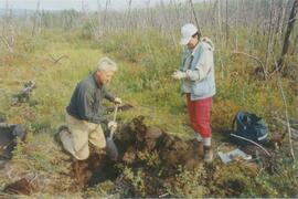
Norman Range sinkhole
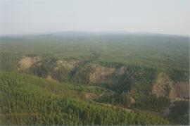
Norman Range (6)
Norman Range (5)
Norman Range (4)
Norman Range (3)

Norman Range (2)
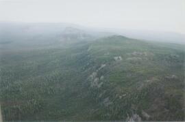
Norman Range (1)
New tephra at Site Y04-18 at Lost Chicken Mine (8)

Near Camp 3

Near Camp 3

Near Camp 3

Near Camp 3
Near Camp 3

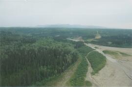
Near Camp 1, facing west down the Yukon River

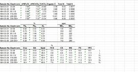
Muskwa-Kechika soils and prescribed burning project data

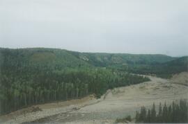
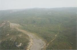
Mouth of Black Creek

MK Soils Project - 2001 - General Vegetation Descriptions

Ministry of Forests internal memorandum "Re: Evaluation of BaCl₂ method for soil cations"
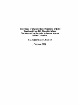
"Mineralogy of clay and sand fractions of soils developed from till, glaciofluvial and glaciolacustrine deposits in central interior British Columbia"

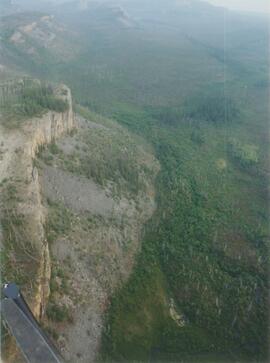
Middle Pleistocene basalt cliffs, facing downstream between Camp 1 and Camp 2

Middle Pleistocene basalt cliffs, facing downstream between Camp 1 and Camp 2

Middle Pleistocene basalt cliffs west of Camp 2

Middle Pleistocene basalt cliffs west of Camp 2