2007.1.60.17
·
Dossiê
·
2000-2001
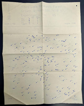
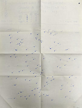
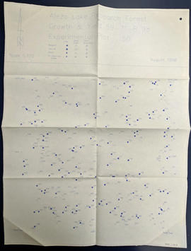
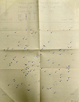
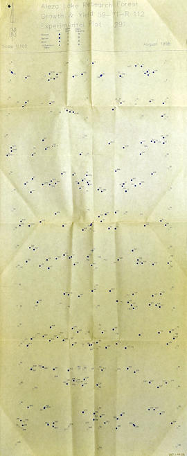
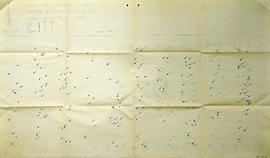
Parte de Aleza Lake Research Forest fonds
File contains photocopies of seedling measurement tables.