2012.13.1.24.48
·
Pièce
·
2000
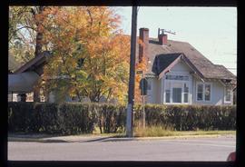
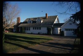
Fait partie de J. Kent Sedgwick fonds
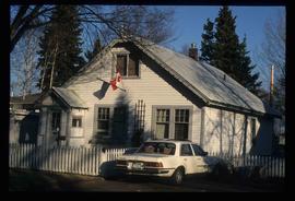
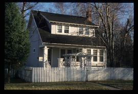
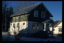
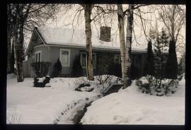
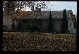
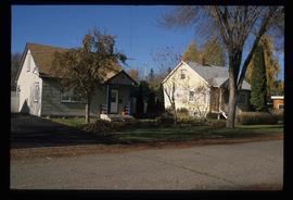
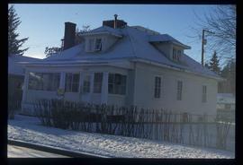
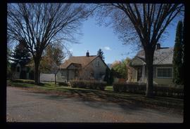
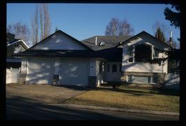
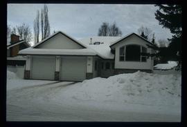
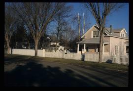
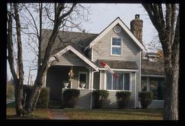
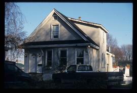
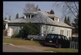
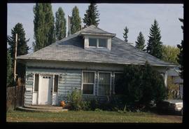
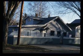
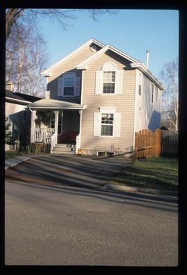
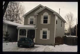
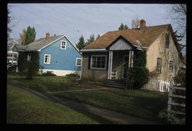
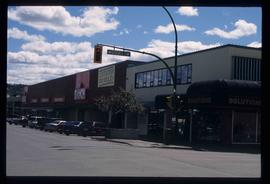
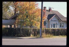
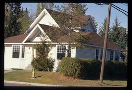
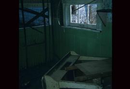
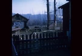
Image depicts 135 Patricia Boulevard in Prince George, B.C.