2013.6.35
·
Séries
·
1909-2011
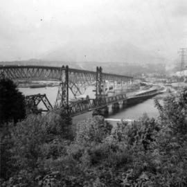
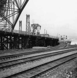
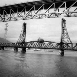
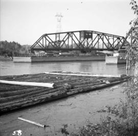
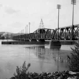
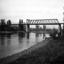
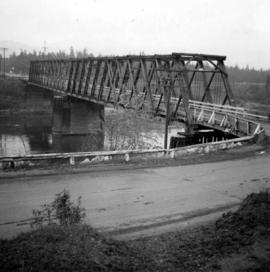
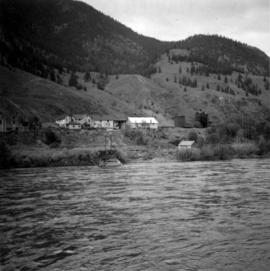
Parte de David Davies Railway Collection
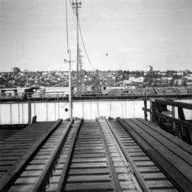
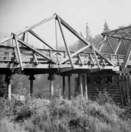
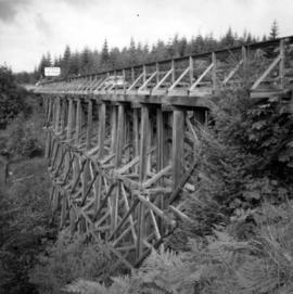
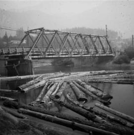
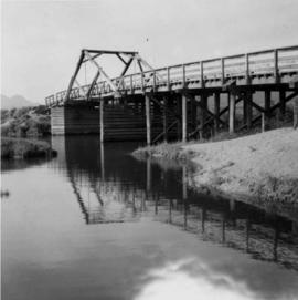
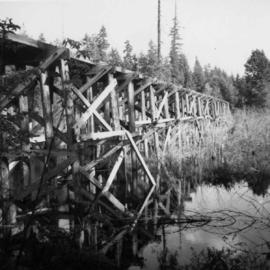
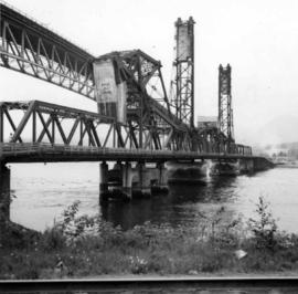
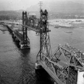
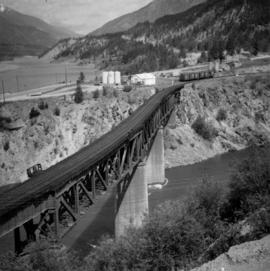
Series consists of large format maps and plans relating to railways in British Columbia and Canada. Also includes oversize documents.