File consists of photocopies of Alcan Bulletins released while the BCUC Kemano Completion Project review hearings were ongoing (1993-1994).
Fonds consists of original, silent 16mm reels that portray the natural, social and land use history of the Bella Coola and Chilcotin regions named the "Natural and Guiding History of the Bella Coola and Chilcotin Regions".
Possible locations that Al Elsey filmed include: Bella Coola, Bella Bella, Anahim Lake, Alert Bay, Nimpo Lake, Bulkey Valley, the Rainbow Mountains, Tweedsmuir Provincial Park, Dean River, Bella Coola River, Tchaha Lake, the Chilcotin region, the Ulkatcho Mountains, Lassard Lake, Fenton Lake, Atnarko River, Wells Gray Park, and Holt Homestead.
File consists of Air photos BC85019 no. 141-143, 197-198 and BC5249 no. 10, 12, and 29.
File consists of 10 air photos: BC85019 No. 111, 112, 140, 199 (CFS McGregor written on reverse), 200; BC77004 No. 199 (comment on reverse re location of tie point, 200; and 3 higher altitude air photos with no obvious label. Note that BC77004 No. 199 and 200 have MOF stamps on the reverse.
In July 2009, Dr. Paul Sanborn undertook the first soils field research at the Fort Selkirk volcanic field in central Yukon, with helicopter support and funding from the Yukon Geological Survey. This file consists of prints of aerial photographs that depict the area accessed for the study, upstream from the confluence of the Yukon River and the Pelly River.
Air photographs include:
Flight line A17210, Photo Nos. 54-60 (taken 1960)
Flight line A22354, Photo Nos. 43-45, 47-48 (taken 1971)
Flight line A27516, Photo Nos. 48-52 (taken 1989)
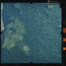
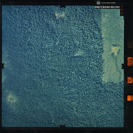
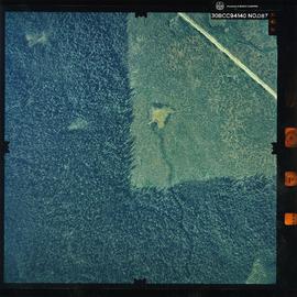
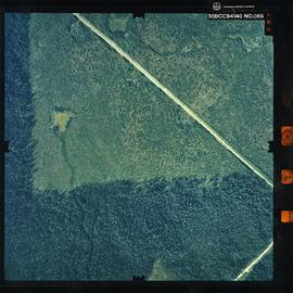
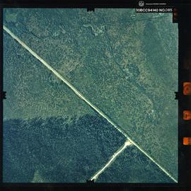
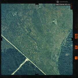
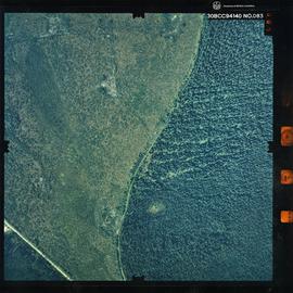
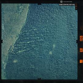
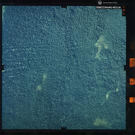
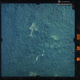
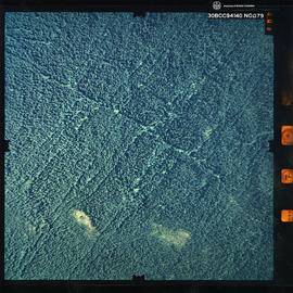
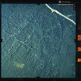
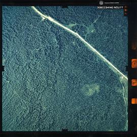
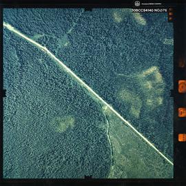
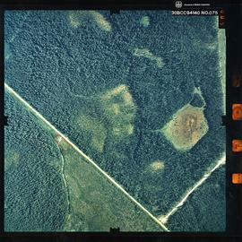
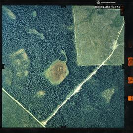
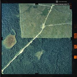
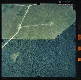
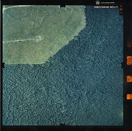
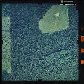
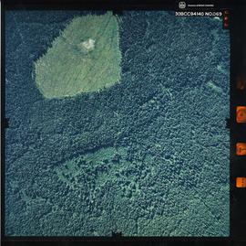
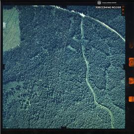
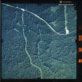
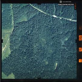
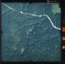
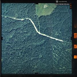
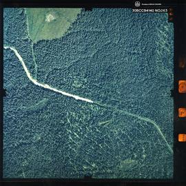
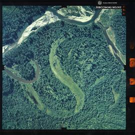
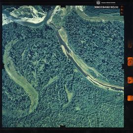
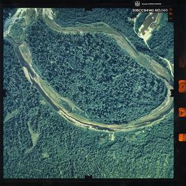
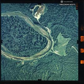
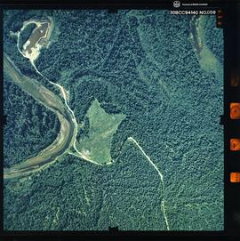
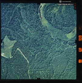
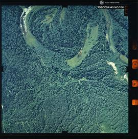
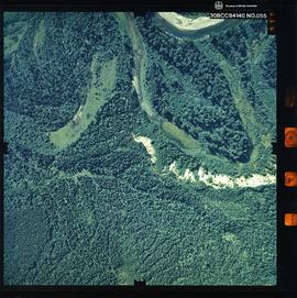
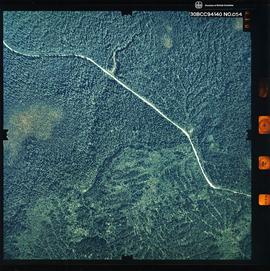
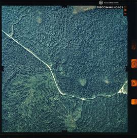
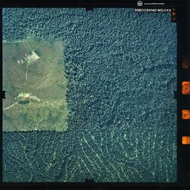
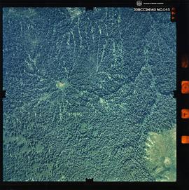
Photograph is a remote-sensing image of the Aleza Lake Research Forest from 1994.
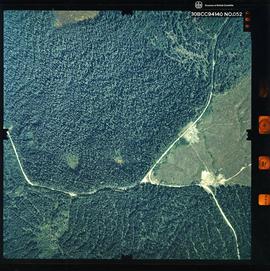
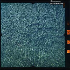
Photograph is a remote-sensing image of the Aleza Lake Research Forest from 1994.
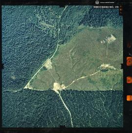
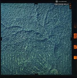
Photograph is a remote-sensing image of the Aleza Lake Research Forest from 1994.
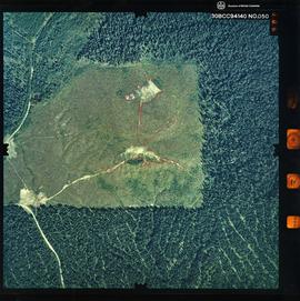
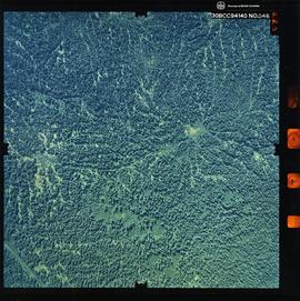
Photograph is a remote-sensing image of the Aleza Lake Research Forest from 1994.
Photograph is a remote-sensing image of the Aleza Lake Research Forest from 1994.
Photograph is a remote-sensing image of the Aleza Lake Research Forest from 1994.
Photograph is a remote-sensing image of the Aleza Lake Research Forest from 1994.
Photograph is a remote-sensing image of the Aleza Lake Research Forest from 1994.
Photograph is a remote-sensing image of the Aleza Lake Research Forest from 1994.
Photograph is a remote-sensing image of the Aleza Lake Research Forest from 1994.
Photograph is a remote-sensing image of the Aleza Lake Research Forest from 1994.
Photograph is a remote-sensing image of the Aleza Lake Research Forest from 1994.
Photograph is a remote-sensing image of the Aleza Lake Research Forest from 1994.
Photograph is a remote-sensing image of the Aleza Lake Research Forest from 1994.
Photograph is a remote-sensing image of the Aleza Lake Research Forest from 1994.
Photograph is a remote-sensing image of the Aleza Lake Research Forest from 1994.
Photograph is a remote-sensing image of the Aleza Lake Research Forest from 1994.
Photograph is a remote-sensing image of the Aleza Lake Research Forest from 1994.
Photograph is a remote-sensing image of the Aleza Lake Research Forest from 1994.
Photograph is a remote-sensing image of the Aleza Lake Research Forest from 1994.
Photograph is a remote-sensing image of the Aleza Lake Research Forest from 1994.
Photograph is a remote-sensing image of the Aleza Lake Research Forest from 1994.
Photograph is a remote-sensing image of the Aleza Lake Research Forest from 1994.
Photograph is a remote-sensing image of the Aleza Lake Research Forest from 1994.
Photograph is a remote-sensing image of the Aleza Lake Research Forest from 1994.
Photograph is a remote-sensing image of the Aleza Lake Research Forest from 1994.
Photograph is a remote-sensing image of the Aleza Lake Research Forest from 1994.
Photograph is a remote-sensing image of the Aleza Lake Research Forest from 1994.
Photograph is a remote-sensing image of the Aleza Lake Research Forest from 1994.
Photograph is a remote-sensing image of the Aleza Lake Research Forest from 1994.
Photograph is a remote-sensing image of the Aleza Lake Research Forest from 1994.
Photograph is a remote-sensing image of the Aleza Lake Research Forest from 1994.
Photograph is a remote-sensing image of the Aleza Lake Research Forest from 1994.
Photograph is a remote-sensing image of the Aleza Lake Research Forest from 1994.
Photograph is a remote-sensing image of the Aleza Lake Research Forest from 1994.
Photograph is a remote-sensing image of the Aleza Lake Research Forest from 1994.
Photograph is a remote-sensing image of the Aleza Lake Research Forest from 1994.
Photograph is a remote-sensing image of the Aleza Lake Research Forest from 1994.
Photograph is a remote-sensing image of the Aleza Lake Research Forest from 1994.
Photograph is a remote-sensing image of the Aleza Lake Research Forest from 1994.
Photograph is a remote-sensing image of the Aleza Lake Research Forest from 1994.
Photograph is a remote-sensing image of the Aleza Lake Research Forest from 1994.
Photograph is a remote-sensing image of the Aleza Lake Research Forest from 1994.
Photograph is a remote-sensing image of the Aleza Lake Research Forest from 1994.
Photograph is a remote-sensing image of the Aleza Lake Research Forest from 1994.
