2008.2.1.07
·
Item
·
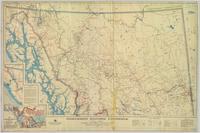
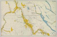
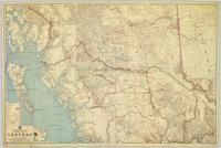
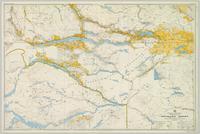
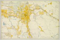
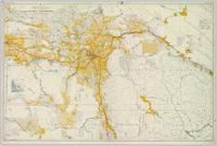
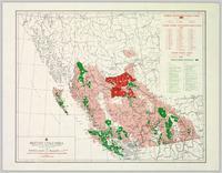
1923
Part of Northern BC Cartographic Collection
Provincial map depicting communities, bodies of water, transport routes, land districts, parks, telegraph/telephone lines, and mining regions, offices, and engineers. Includes Distance Tables (“Coast,” “Roads,” “Railways,” and “World”) and Index of Post Offices.