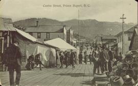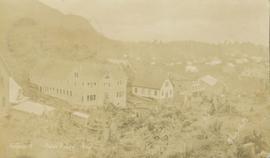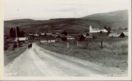
2011.3.1.25
·
Item
·
[ca. 1901-1910]
Part of North Coast & Central BC Postcard Collection
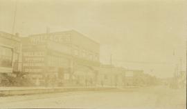
Photograph of the dirt road leading to Hagwilget Village. Residential buildings and a church are visible in the background. Printed annotation on recto reads: "W.W.W. Hagwilget Village."