Geographic Features

Elements area

Taxonomy

Code

Scope note(s)

  • Includes both natural and artificial features
  • Physical landscape, built landscape
  • Urban and industrial landscapes
  • Topography
  • Site plans
  • Boundaries, districts, reserves, parks, sanctuaries, towns, etc.
  • NOTE: Mainly but not exclusively pertaining to photographic and cartographic records
  • SEE ALSO: Land, Settlement and Immigration

Source note(s)

  • MemoryBC Subject Groups

Display note(s)

    Hierarchical terms

    Geographic Features

      Equivalent terms

      Geographic Features

        Associated terms

        Geographic Features

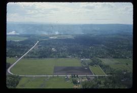
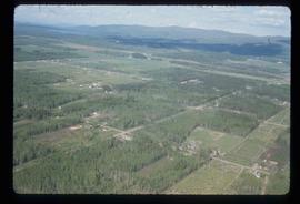
          321 Archival description results for Geographic Features

          321 results directly related Exclude narrower terms
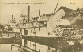
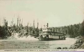
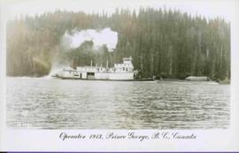
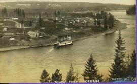
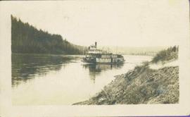
          Prince George to Tete Jaune
          2011.3.4.14 · Item · [ca. 1901-1915]
          Part of North Coast & Central BC Postcard Collection

          Stern wheeler in river. Handwritten annotation in pencil on verso reads: “Prince George to Tete Jaune” Hand written message in ink on verso is addressed to “Mademoiselle Elisabeth Joliet, Terrguy – Les Dijore Cote a Or France”

          J. Kent Sedgwick fonds
          2012.13 · Fonds · 1937-2011

          This fonds consists of material created and collected by Kent Sedgwick, author, professor, Prince George urban planner, and prominent local historian. This body of records documents Sedgwick’s research interests in the history and geography of the Central Interior of British Columbia. The fonds also reflects his work as a Prince George Senior City Planner, his involvement in local community organizations, and his teaching at the College of New Caledonia and the University of Northern British Columbia.

          The fonds includes:
          1) Photographs taken by Kent Sedgwick across British Columbia, predominantly in the Central Interior region;
          2) Research subject files consisting of original research documentation and collected reference material, predominantly focusing on topics relating to local history, city planning, and geography in the Prince George area and the British Columbia Central Interior;
          3) Documentation of Kent Sedgwick’s community involvement, including records created over the course of his work with the Prince George Heritage Commission, , the Alexander Mackenzie Heritage Trail Association, and other local organizations;
          4) Writings, publications, and lectures written, edited, or conducted by Kent Sedgwick;
          5) Professorial records consisting of lectures and material relating to Sedgwick’s teaching appointments at the College of New Caledonia and the University of Northern British Columbia;
          6) Maps collected by Kent Sedgwick covering historical and contemporary British Columbia.
          Sedgwick, J. Kent
          P.G. Plan
          2012.13.1.001 · Subseries · [between 1985 and 2003]
          Part of J. Kent Sedgwick fonds

          File contains slides depicting maps and site plans for the city of Prince George.

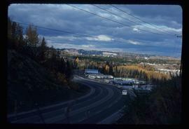
          Powerline
          2012.13.1.3.037 · Item · Nov. 1977
          Part of J. Kent Sedgwick fonds

          Image depicts power lines east of the pulp mills in Prince George, B.C.

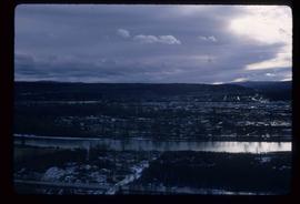
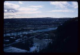
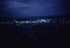
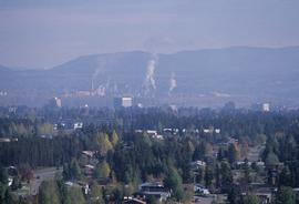
          View from Gunn Point
          2012.13.1.3.058 · Item · Nov. 1979
          Part of J. Kent Sedgwick fonds

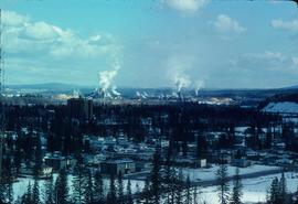
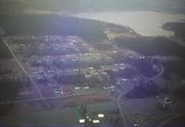
          Image depicts a view of Prince George from Gunn Point in the L.C. Gunn Park looking north. Map coordinates 53°54'26.2"N 122°43'35.8"W.

          View from Gunn Point
          2012.13.1.3.059 · Item · Nov. 1979
          Part of J. Kent Sedgwick fonds

          Image depicts a view of Prince George from Gunn Point in the L.C. Gunn Park looking north. Map coordinates 53°54'26.2"N 122°43'35.8"W.

          View from Gunn Point
          2012.13.1.3.060 · Item · Nov. 1979
          Part of J. Kent Sedgwick fonds

          Image depicts a view of Prince George from Gunn Point in the L.C. Gunn Park looking north. Map coordinates 53°54'26.2"N 122°43'35.8"W.

          View from Gunn Point
          2012.13.1.3.061 · Item · Nov. 1979
          Part of J. Kent Sedgwick fonds

          Image depicts a view of Prince George from Gunn Point in the L.C. Gunn Park looking north. Map coordinates 53°54'26.2"N 122°43'35.8"W.

          View from Gunn Point
          2012.13.1.3.062 · Item · Nov. 1979
          Part of J. Kent Sedgwick fonds

          Image depicts a view of Prince George from Gunn Point in the L.C. Gunn Park looking north. Map coordinates 53°54'26.2"N 122°43'35.8"W.

          View from Gunn Point
          2012.13.1.3.063 · Item · Nov. 1979
          Part of J. Kent Sedgwick fonds

          Image depicts a view of Prince George from Gunn Point in the L.C. Gunn Park looking north. Map coordinates 53°54'26.2"N 122°43'35.8"W.

          View from Gunn Point
          2012.13.1.3.064 · Item · Nov. 1979
          Part of J. Kent Sedgwick fonds

          Image depicts a view of Prince George from Gunn Point in the L.C. Gunn Park looking north. Map coordinates 53°54'26.2"N 122°43'35.8"W.

          View from Gunn Point
          2012.13.1.3.065 · Item · Nov. 1979
          Part of J. Kent Sedgwick fonds

          Image depicts a view of Prince George from Gunn Point in the L.C. Gunn Park looking north. Map coordinates 53°54'26.2"N 122°43'35.8"W.

          View from Gunn Point
          2012.13.1.3.066 · Item · Nov. 1979
          Part of J. Kent Sedgwick fonds

          Image depicts a view of Prince George from Gunn Point in the L.C. Gunn Park looking north. Map coordinates 53°54'26.2"N 122°43'35.8"W.

          View from Gunn Point
          2012.13.1.3.067 · Item · Nov. 1979
          Part of J. Kent Sedgwick fonds

          Image depicts a view of Prince George from Gunn Point in the L.C. Gunn Park looking north. Map coordinates 53°54'26.2"N 122°43'35.8"W.

          Nechako Cutbanks
          2012.13.1.3.090 · Item · 12 Oct. 1989
          Part of J. Kent Sedgwick fonds

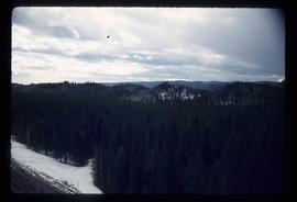
          Image depicts the cutbanks on the other side of the Nechako, taken from the nature trail at Island Cache. Map coordinates 53°55'34.6"N 122°45'52.4"W

          Nechako Cutbanks Trail
          2012.13.1.3.091 · Item · 12 Oct. 1989
          Part of J. Kent Sedgwick fonds

          Image depicts the cutbanks on the other side of the Nechako, taken from the nature trail at Island Cache. Map coordinates 53°55'34.6"N 122°45'52.4"W

          Nechako Cutbanks Trail
          2012.13.1.3.092 · Item · 12 Oct. 1989
          Part of J. Kent Sedgwick fonds

          Image depicts the cutbanks on the other side of the Nechako, taken from the nature trail at Island Cache. Map coordinates 53°55'34.6"N 122°45'52.4"W

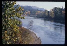
          River
          2012.13.1.3.124 · Item · 12 Oct. 1989
          Part of J. Kent Sedgwick fonds

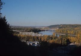
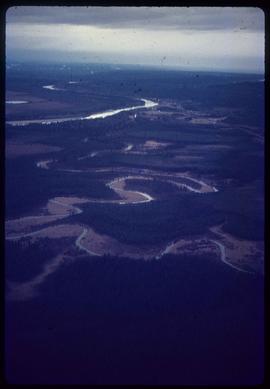
          Image depicts a river, possibly the Nechako, in Prince George, B.C. Possibly taken from the Foothills Bridge.