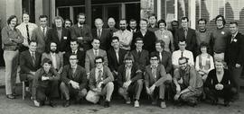
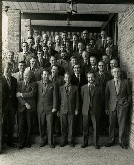
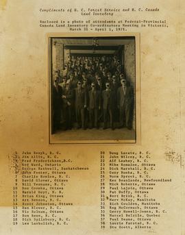
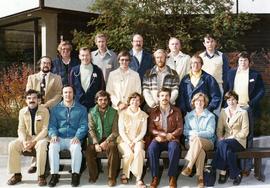
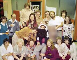
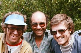
![Canada Land Inventory National Soil Survey [?] group portrait](/uploads/r/northern-bc-archives-special-collections-1/4/b/6/4b63620d93fd801efb07b2dd93008b6f63d5d340f359bdabe11106ae8bb04dbe/2020_4_8_2_005_142.jpg)


Title and statement of responsibility area
Title proper
General material designation
- Graphic material
Parallel title
Other title information
Title statements of responsibility
Title notes
Level of description
Reference code
Edition area
Edition statement
Edition statement of responsibility
Class of material specific details area
Statement of scale (cartographic)
Statement of projection (cartographic)
Statement of coordinates (cartographic)
Statement of scale (architectural)
Issuing jurisdiction and denomination (philatelic)
Dates of creation area
Date(s)
-
1956-2013 (Creation)
Physical description area
Physical description
6342 photographs
Publisher's series area
Title proper of publisher's series
Parallel titles of publisher's series
Other title information of publisher's series
Statement of responsibility relating to publisher's series
Numbering within publisher's series
Note on publisher's series
Archival description area
Name of creator
Name of creator
Scope and content
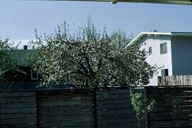
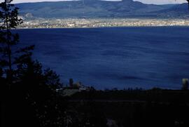
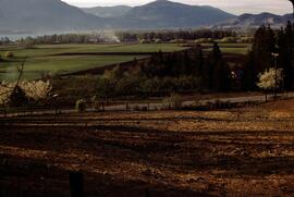
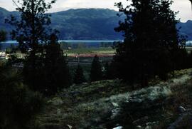
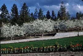
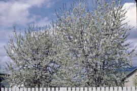
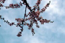
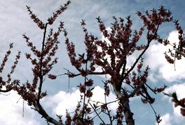
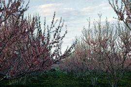
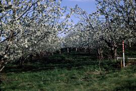
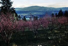
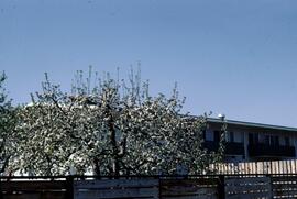
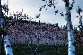
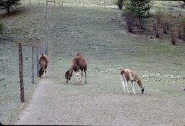
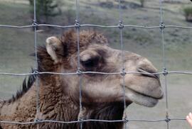
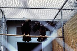
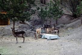
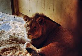
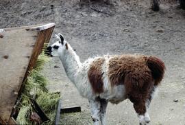
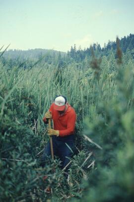
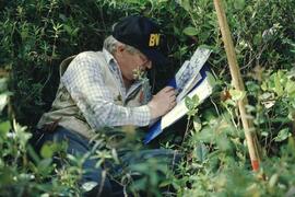
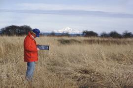
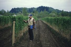
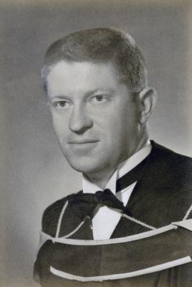
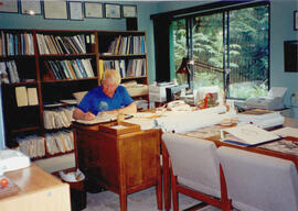
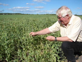
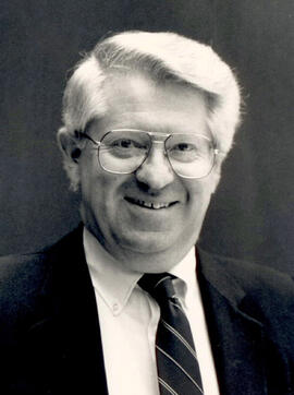
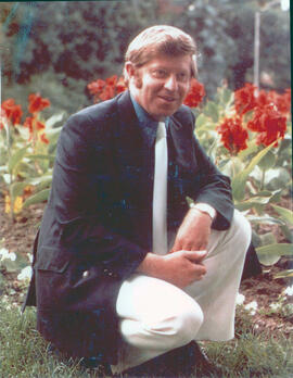
Gary Runka was a hobbyist photographer and documented his work and personal life through photography as he travelled across every region of British Columbia. His photographs document the evolution of British Columbia communities and regions over a 30 year period. Gary Runka's core interest was land and changing land uses. Many of his photographs tell a story of urban edge and/or natural resource compatibility/conflict. There are also a substantial number of photographs related to soils, including soil profiles, soil erosion and land (topography, drainage etc.) capability for agriculture. The collection also includes specific client-related photos, tied to Land Sense Ltd. client file job numbers.
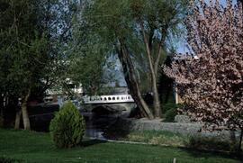
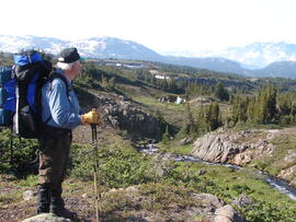
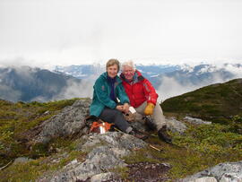
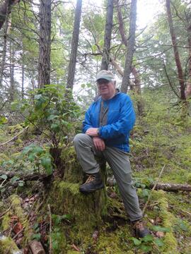
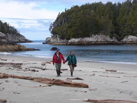
The collection also documents personal travels and hiking trips throughout British Columbia and backpacking in some historic areas, such as the West Coast Trail and Cape Scott. These photographs also represent land evolution over time, including extent of alpine glaciation or biodiversity/plant species inhabiting the area.
Notes area
Arrangement
Original order.
Language of material
- English
Script of material
Location of originals
Availability of other formats
Restrictions on access
No restrictions.
Terms governing use, reproduction, and publication
Personal or academic use of materials is welcomed under the standard fair use and educational use clauses of Canadian Copyright Law. Commercial use is, however, forbidden without the express permission of the copyright holder. For information on obtaining written permission from the copyright holder, please contact the Northern B.C. Archives and Special Collections.
Finding aids
Uploaded finding aid
Associated materials
Many of these photographic slides were created in relation to G. Gary Runka Land Sense Ltd. client jobs.