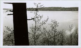
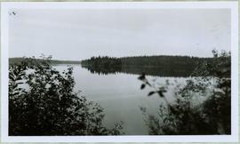
2005.3.21
·
Item
·
[ca. 1945]
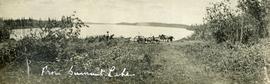
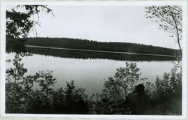
Part of John Hart Highway Photograph Collection
View of summit lake from above, many small tree-covered islands and peninsulas visible. Handwritten caption beside this photo reads: "Sumit Lake".