Maps within this series document the placer streams, islands and harbours of the Queen Charlotte Islands; as well as the mining properties located within the vicinity of Stewart, BC.
Stewart, BC
106 Archival description results for Stewart, BC
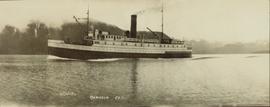
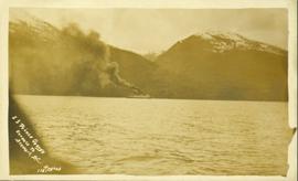
Photograph depicts a steamship "Camosun" in water with mountains in the background. Possibly near Stewart B.C.
Publication contains report entitled "Bear River Pass Railway Feasibility" created for the District of Stewart.
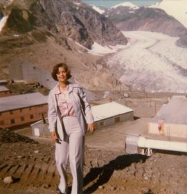
Photograph depicts Iona Campagnolo standing in front of Berendon Glacier and Granduc mining operation north of Stewart.
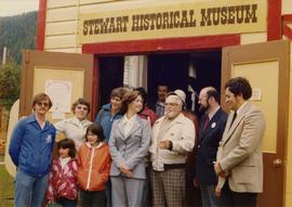
Photograph depicts Iona Campagnolo with John C. Lundquist and others in front of the Stewart Historical Museum. This photograph was taken with the intention of including it in Campagnolo's householder newsletter which was regularly sent to her constituents.
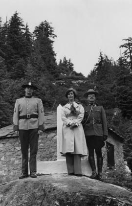
Photograph depicts MP Iona Campagnolo, a RCMP officer, and a customs officer standing in front of a boundary marker at the Canadian-American border between Hyder and Stewart.
Contents of the guide include: promotional articles of the attractions in the area, the services provided in the area, the various waterways that can be used for transportation, maps of the region, and historical information about Stewart.
Map depicts existing harbour development in Stewart, with an enlargement of the west side of the harbour.
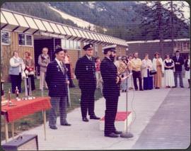
Photograph speculated to have been taken during a Cadets award ceremony (see also item 2009.6.1.749). One man in uniform speaks from behind microphone. Group of unidentified men and women can be seen standing in line in background.
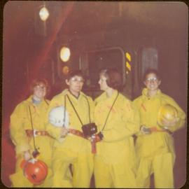
Machinery visible in background.
Handwritten annotations on verso read: “Stewart, B.C.,” and “Bottom: at Granduc Copper mine with Mary Schindel, I drove the ‘Mitzie’”.
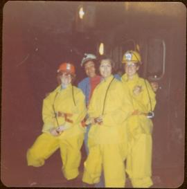
Machinery visible in background.
Handwritten annotation on verso reads: “John Lundquist, Mary Schindel”.
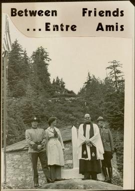
Caption from paper on which photograph pasted reads: “Between Friends . . . Entre Amis”.
Handwritten notation on accompanying piece of paper reads: “Skeena Liberals, Stewart 1st Campaign, John Hanquest ('Midgie' John) + Pals.”
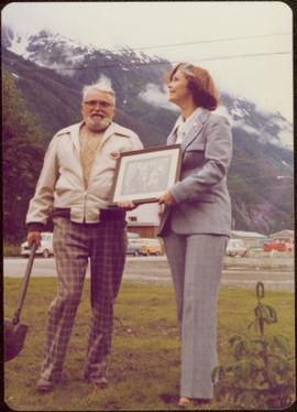
Photo taken in Stewart, B.C. Waidlow Stewart holds a shovel, with mountains in background.
Handwritten annotation on verso reads: “Waidlow Stewart in Stewart, 2 July 1971”.
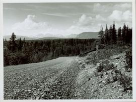
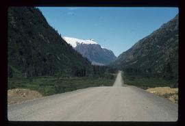
View of snow capped mountains in the distance, vast rolling treed hills in mid ground and a gravel road in the foreground. Road sign indicating severe curve in road situated at the right of the gravel road. Handwritten annotation on verso in pen reads: “Cassiar – Stewart highway”
File contains slides depicting places in and around Stewart, B.C.
File contains slides depicting places in and around Stewart, B.C.
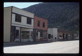
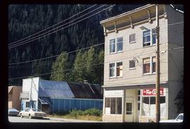
Image depicts several buildings along the main street in Stewart, B.C. One of them has been boarded up.
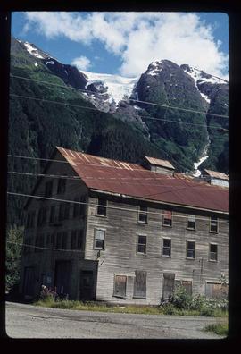
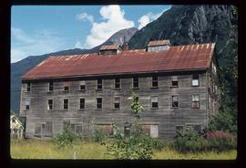
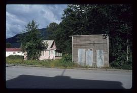
Image depicts an old, boarded up hotel in Stewart, B.C.
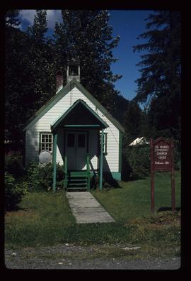
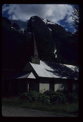
Image depicts the St. Marks Community Church in Stewart, B.C.
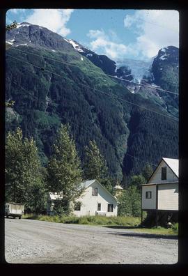
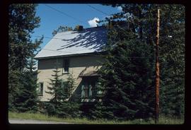
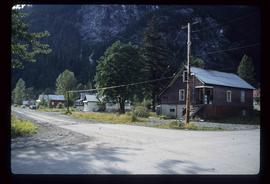
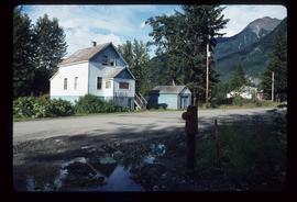
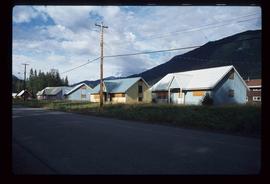
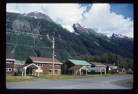
Image depicts several houses in Stewart, B.C. A section of Mt. Shorty Stevenson is visible in the background.
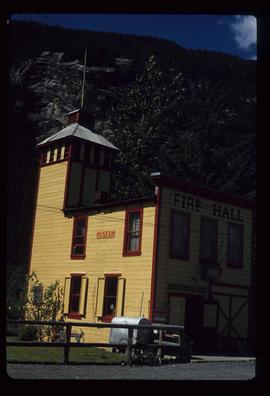
Image depicts the old Fire Hall, now a museum, in Stewart, B.C.
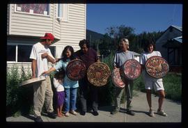
Image depicts several unidentified individuals standing outside a building, and holding intricately painted drums; the woman on the right is Sue Sedgwick. The location is uncertain.
Image depicts a view of Bear Pass, likely from Glacier Highway and somewhere in or near Bear Glacier Provincial Park, located north-east of Stewart, B.C.
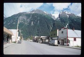
Image depicts several buildings along the main street in Stewart, B.C.
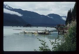
Image depicts Stewart Harbour in Stewart, B.C.
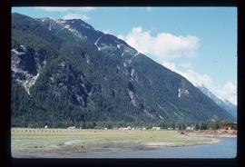
Image depicts Stewart, with a section of Mt. Shorty Stevenson dominating the background.
Image depicts an old, boarded up hotel in Stewart, B.C.
Image depicts a Catholic Church in Stewart, B.C.
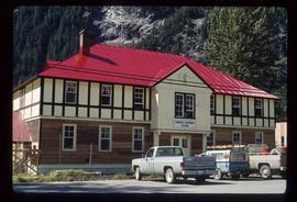
Image depicts the Provincial Government Building located in Stewart, B.C.
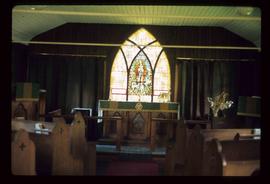
Image depicts the interior of the St. Marks Community Church in Stewart, B.C.
Image depicts the Robert Stewart house, built in 1910 and inhabited by the Stewart family until 1945. It is located in Stewart, B.C.
Image depicts housing in Granduc, near the Granduc Mine and located north of Stewart, B.C.
Image depicts an example of "typical housing" in Granduc, near the Granduc Mine and located north of Stewart, B.C.
Image depicts a row of boarded up houses in Granduc, near the Granduc Mine and located north of Stewart, B.C.
Image depicts a row of houses in Granduc, near the Granduc Mine and located north of Stewart, B.C.
Image depicts the old telegraph station in Stewart, B.C.
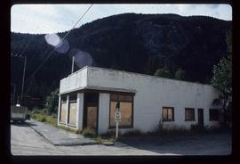
Image depicts a boarded up building in Stewart B.C. There is also a sign that reads: "No U Turns."
Image depicts the main street of Stewart, B.C.
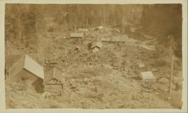
Photograph is a printed postcard depicting scattered small buildings and a tent. Trees have been removed from the area around the buildings and many stumps remain.
The photographs depict the geographic areas of Stewart, BC, Boundary Pass, Nelson River, Bitter Creek Glacier, Portland Canal, Red Cliff and Bear Creek; as well as the ships “Camosun” and “S.S. Prince George.” Types of subjects identified in this collection include: community life, surveying, mining and transportation (i.e. dog-sledding, horse and buggy, and the Portland Canal Short Line Railway “P.C.S.L. Rlwy”).
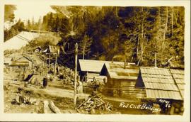
Photograph of several log buildings in a forested area at Red Cliff mine. Printed annotation on recto reads: "Red Cliff Buildings Hughes 86."
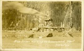
Photograph of a large pile driver working on the waterfront at the foot of a forested slope. Printed annotation on recto reads: 'Pile-driver working on Government Wharf Hughes #55."
Photograph of the S.S. Prince George traveling through the water. Several mountains are visible in the background. Printed annotation on recto reads: "S.S. Prince George Enroute to Stewart, B.C."
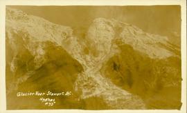
Photograph of a large glacier. Printed annotation on recto reads: Glacier Near Stewart B.C. Hughes #75."
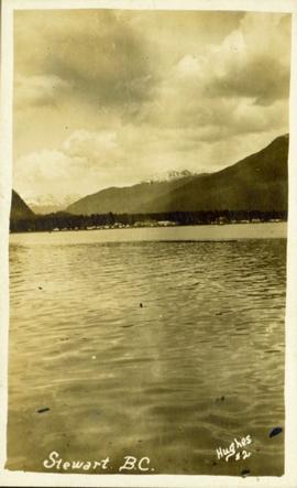
Distant photograph taken from the water of Stewart, BC. Several mountains are visible in the background. Printed annotation on recto reads: "Stewart B.C. Hughes #2."
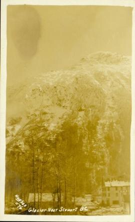
Photograph of a large glacier with several buildings at its foot. Printed annotation on recto reads: "Hughes #76 Glacier Near Stewart BC."
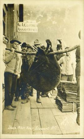
Photograph of a group of men gathered outside of "G.A. Clothier Assay Office." Two of the men are carrying a large bear carcass between them on a tree branch. Printed annotation on recto reads: "Bear Shot Near Stewart B.C. Hughes #18."
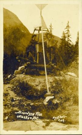
Photograph of two men posing next to a four-legged post erected in the wilderness. Printed annotation on recto reads: "Boundery[sic] Post Alaska & BC. Hughes #42."
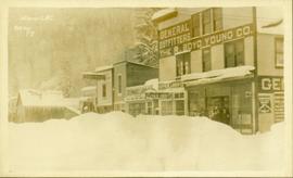
Street view of various buildings in Stewart, BC, covered with a heavy layer of snow. Visible businesses include "The R. Boyd Young Co." and "Stewart Land Co." Printed annotation on recto reads: "Stewart B.C. Hughes 78."
