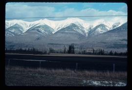
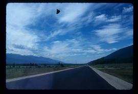
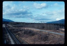
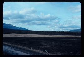
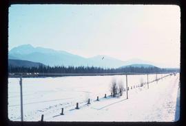
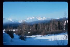
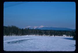
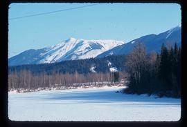
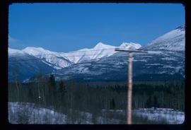
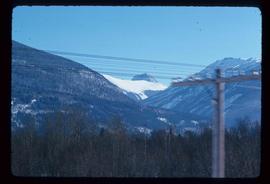
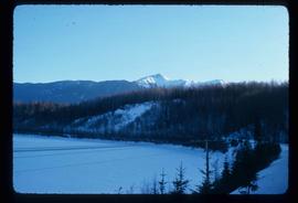
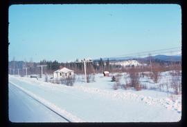
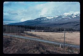
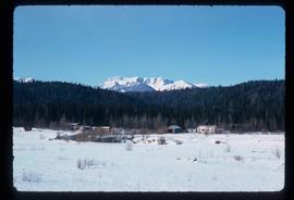
Annotation on slide: "Lucille Mt. from Mt. Teare, Susan Stevenson, July 1994"
McBride, BC
98 Archival description results for McBride, BC
The Upper Fraser Historical Geography Project was conducted by UNBC faculty and a team of researchers between 1999 and 2002. The lead researchers were Aileen Espritiu, Gail Fondahl, Greg Halseth, Debra Straussfogel, and Tracy Summerville. The project resulted in the creation of 93 oral history records and their transcripts. Participants included regional forest industry executives, politicians (including former MLA Ray Williston, local mayors and Fraser Fort George Regional District representatives), forest industry workers, and former and contemporary Upper Fraser community residents. The oral histories document the rise, consolidation and demise of the forestry-based settlements along the Upper Fraser River between 1915 and 2000.
Image depicts truncated spurs somewhere near McBride, B.C.
File consists of trail maps and recreation guides from various places in British Columbia, especially Northern British Columbia. Maps include:
- British Columbia Road Map and Parks Guide
- Northwood Pulp and Timber Limited Forest Operations Recreation Map
- Provincial Parks of Northern British Columbia
- Visitor's Guide: Mackenzie Woodlands
- Visitors Guide: Mackenzie Woodlands
- Mackenzie Forest District Recreation Map
- Dawson Creek Forest District Recreation Map
- Morice Forest District Recreation Map
- Fort St. James Forest District Recreation Map
- Lakes Forest District Recreation Map
- Cariboo Forest Region Recreation Map
- Lakes District Visitors Map
- Prince George Forest District Recreation Map
- Vanderhoof Forest District Recreation Map
- Fort St. John Forest District Recreation Map
- Cariboo Forest Region Recreation Map (East)
- Robson Valley Forest District Recreation Map
- Fort Nelson Forest District Recreation Map
- Forest Service Recreation Sites: Valemount - Blue River
- Forest Service Recreation Sites: McBride - Goat River
- Forest Service Recreation Sites: Prince George West
- Forest Service Recreation Sites: Moberly - Sukunka
- Forest Service Recreation Sites: Nation - Takla
- Forest Service Recreation Sites: Murrat - Kiskatinaw
- Recreation Road Map for the Prince George Forest Area (1987-1988)
- Recreation Road Map for the Prince George Forest Area (1997)
- The Bobtail Forest Service Road Tour
- Forest Recreation Map: Northwood Pulp and Timber Limited
- Forest Operations Recreation Map: Northwood pulp and timber limited
- Forest Service: Recreation Sites Williston/Mackenzie
- Forest Service Recreation Sites Prince George West
- The Official Prince George Tourist Street Map
- Ecological Reserves in British Columbia (July 1990)
- Prince George Forest District map (April 1990) with annotations regarding trials.
This photograph album consists of photographs of remote police barracks at Mile 47 and Mile 29; early settlements and/or mercantile stores at Tete Jaune Cache, McBride, Sand Creek, Fort George and South Fort George; Grand Trunk Pacific Railway forestry and railway camps; scows and paddlewheel conveyors on the Fraser River; automobiles; community leisure activities; as well as, images of the Bourchier family. The following South Fort George establishments are identifiable within these photographs: Empress Hotel, Ah Yee General Merchant, German Bakery, Northern Hotel, South Fort George Drug Store & Post Office, St. Michael’s Church, Prince George Hotel, Ford Monarch dealership, Astoria Hotel, and King George V Elementary School. Identified geographic locations featured in these photographs include: Tete Jaune, Upper Fraser, Mile 47, Mile 29, Fraser River, Mt. Robson, McBride, Sand Creek, Glacier Mountain, Moose River, Giscome Portage, Pott Falls, Red Deer River, Grand Canyon, Summit Lake, Canoe Pass, Connaught Hill, Nechako Bridge, and Island Cache.
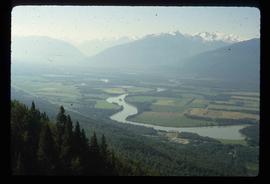
Bourchier, Alan K.Image depicts a view of the Rocky Mountain Trench somewhere near McBride, B.C.
Image depicts the Rocky Mountain Trench from McBride, B.C.
Image depicts the Rocky Mountain Trench from McBride, B.C.
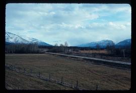
Image depicts a view of an area somewhere near McBride in the Rocky Mountain Trench.
Image depicts the Rocky Mountain Trench from McBride, B.C.
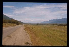
Image depicts a view of the Rocky Mountain Trench somewhere near McBride, B.C.
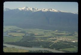
Image depicts a view of McBride in the Rocky Mountain Trench.
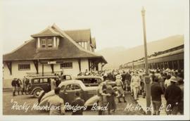
Photograph of a large crowd gathered at the McBride train station. Printed annotation on recto reads: "'Rocky Mountain Rangers Band, McBride, B.C.'"
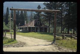
Image depicts the ranch house of the Ranch of the Vikings, originally owned and operated by Bjorger Pettersen, a member of the Canadian Ski Hall of Fame, from 1970 until 1985. It is located somewhere west of McBride, B.C.
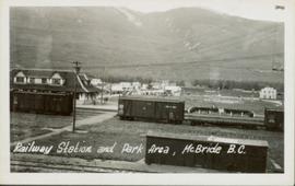
Slightly oblique front view of railway cars on a track. Buildings and hills can be seen in the background. Printed annotation on recto reads: "Railway Station and Park Area, McBride, B.C."
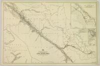
Map depicting surveyed lands, statutory timber lands, land recording divisions, game reserves, communities, bodies of water, and transport routes. Includes inset of McBride townsite.
File contains postcard photographs portraying life in various Northern BC Communities. Images depict buildings and streets, church structures, harbours and docks, and views of the shore from the water to name a few.
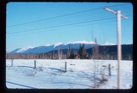
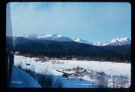
Image depicts a view of what is either the Rocky Mountains or possibly the Columbia Mountains near McBride, B.C.
Image depicts a view of what is either the Rocky Mountains or possibly the Columbia Mountains near McBride, B.C.
Image depicts a view of what is either the Rocky Mountains or possibly the Columbia Mountains near McBride, B.C.
Image depicts a view of what is either the Rocky Mountains or possibly the Columbia Mountains near McBride, B.C.
Image depicts a view of what is either the Rocky Mountains or possibly the Columbia Mountains near McBride, B.C.
Image depicts a view of what is most likely the Rocky Mountains near McBride, B.C.
Image depicts a view of either the Rocky Mountains or possibly the Columbia Mountains near McBride, B.C.
Image depicts a house located somewhere near McBride, B.C.
Image depicts what is either the Rocky Mountains or possibly the Columbia Mountains, from McBride, B.C.
Item is McBride, B.C. Sheet 93H and Part of 83E Second Status Edition (1971) from "Classification and Interpretation of some Ecosystems of the Rocky Mountain Trench, Prince George Forest Region, British Columbia: First Approximation" (1984).
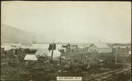
Photograph depicts street in McBride, wood buildings and tent buildings on either side. Small businesses and restaurants line the left side of the street. Forest slash stands in newly cleared area in foreground. Railway tracks cross right foreground, hills visible in background. Annotation on verso of photograph reads: "MC.Bride, B.C.", handwritten on recto: "1914 [Bourchier?]"
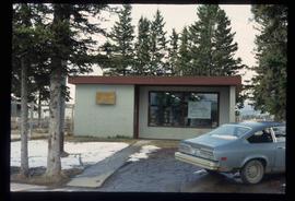
Image depicts the McBride District Centennial Library.
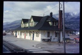
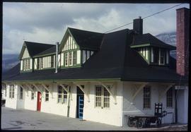
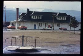
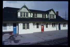
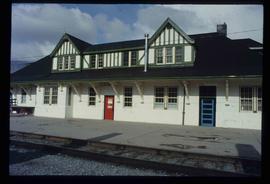
Image depicts the McBride CNR station.
Image depicts the McBride CNR station.
Image depicts the rear-end of the CN Station in McBride, B.C.
Image depicts the CN Station in McBride, B.C.
Image depicts the CN Station in McBride, B.C.
File contains slides depicting places in and between McBride and the Yellowhead Pass via the Yellowhead Highway.
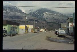
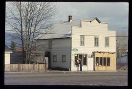
Image depicts a street in McBride, B.C.
Image depicts a view of what is either the Rocky Mountains or possibly the Columbia Mountains from McBride, B.C.
Image depicts a view of what is either the Rocky Mountains or possibly the Columbia Mountains in the background of a small section of McBride, B.C.
Image depicts an old house somewhere in McBride, B.C.
Image depicts several houses in McBride, B.C. A mountain is visible in the background.
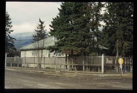
Image depicts a house somewhere in McBride, B.C.
Image depicts a machine shop somewhere in McBride, B.C. The sign above the door reads "McBride Air Cooled Engine Services Ltd."
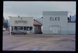
Image depicts the Elks Hall in McBride, B.C.
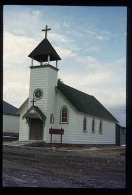
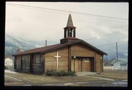
Image depicts a church somewhere in McBride, B.C. The sign in front possibly reads "St. Patrick's Church."
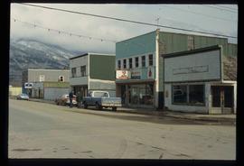
Image depicts a street in McBride, B.C. One of the store signs reads "Allied Hardware."
Image depicts the All Saints Anglican Church in McBride, B.C. The slide labels it as having "moved to PG."
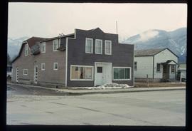
Image depicts an abandoned building on the corner of a street in McBride, B.C.
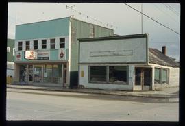
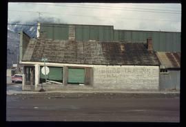
Image depicts an abandoned building on the corner of a street in McBride, B.C. The faded letters on the side read: "McBride Trading Co. Mens Wear, Drugs, Equipment."
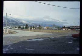
Image depicts McBride, B.C.
File consists of a transcript of an oral history interview with Virginia Karr.

