


Zona do título e menção de responsabilidade
Título próprio
Designação geral do material
- Material gráfico
- Documento textual
- Material cartográfico
- Documento sonoro
- Electronic record
- Desenho arquitetônico
Título paralelo
Outra informação do título
Título(s) de declaração(ões) de responsabilidade
Notas ao título
Nível de descrição
Entidade detentora
Código de referência
Zona de edição
Declaração de edição
Declaração de responsabilidade da edição
Zona de detalhes específicos de materiais
Declaração de escala (cartográfica)
Declaração de projeção (cartográfica)
Declaração de coordenadas (cartográfica)
Declaração de escala (arquitetural)
Autoridade emissora e denominação (filatélica)
Zona de datas de criação
Data(s)
-
1937-2011 (Produção)
- Produtor
- Sedgwick, J. Kent
Zona de descrição física
Descrição física
5 m of textual records and other material:
- approx. 8235 photographs
- 28 remote-sensing images
- 137 maps
- 8 architectural drawings
- 7 sound recordings
- 5 philatelic items
- 16 optical discs
- 1 computer diskette : 9 x 9 cm
Zona dos editores das publicações
Título da editora
Títulos paralelos das publicações do editor
Outra informação do título das publicações do editor
Declaração de responsabilidade em relação à série editora
Numeração das publicações do editor
Nota sobre as publicações do editor
Zona da descrição do arquivo
Nome do produtor
História biográfica
John Kent Sedgwick was born in Weston, Ontario on March 13th, 1941. In 1964 he graduated from the University of Western Ontario in London, Ontario, with a Bachelor of Arts in Geography. During this time, he also wrote an undergraduate thesis titled “Effects of Land Use on Night Temperatures in London, Ontario.” In 1966 he graduated with his M.A. in Geography from McMaster University in Hamilton, Ontario. His M.A. thesis was titled “Geomorphology and Mass Budget of Peyto Glacier, Alberta.”
Kent Sedgwick came to Prince George in 1970 and held a position as a Geography Instructor at the College of New Caledonia. He was also a frequent guest lecturer for history courses at the University of Northern British Columbia, and later, from 2003 until 2009, an adjunct professor at UNBC for geography. His expertise was in physical geography, particularly glaciation, hydrology, weather and climate, and alpine studies, and historical geography as well as cartography. He also taught courses on wildland recreation. After teaching at CNC for nearly a decade, in 1983 he became a Senior Urban Planner for the City of Prince George. In his professional relationship with the University of Northern British Columbia, he also contributed to research on the Upper Fraser as part of the UNBC-led Upper Fraser Historical Geography Project between 1999 and 2002.
Alongside his professional work, Kent Sedgwick was extensively involved in the community. During his teaching career he conducted more than 50 field trips for students and other professionals, including the Federation of BC Writers (2000); the Western Division of the Canadian Association of Geographers (2003); and the BC Heritage Federation (2003). He was also the treasurer and later the president of the Alexander Mackenzie Voyageur Route Association. Sedgwick also worked directly with the Huble Homestead / Giscome Portage Historical Society. Significantly, Sedgwick worked with the Huble Society, June Chamberland and Curle Witte to transcribe and edit the 1909-1919 diaries of Albert Huble.
He was a Member and Chairmen of the Heritage Advisory Committee for the City of Prince George from 1978 until 1983, and then was the secretary to the committee while employed in the Planning Division from 1983 until 2006. Through the Heritage Advisory Committee, he aided in many projects to protect and acknowledge local history and heritage. These projects included an inventory of heritage buildings in Prince George; research on the origins and desecration of the L’heidli T’enneh cemetery at Fort George Park; confirmation for rezoning various lots in Prince George; and developing tours of downtown Prince George. Kent Sedgwick also aided the Prince George Retired Teachers Association with conducting research on previous and current schools within Prince George and region.
Kent Sedgwick was well-known for his enthusiasm and passion in local history and for conducting meticulous research on the history of Prince George and the Central Interior. He had also compiled and edited works of local history, both on his own and aiding others in their writing. His own written works were recognized with the Jeanne Clarke Memorial Local History award in 1991 for his extensive efforts to preserve Prince George’s history. He received the same award for his book Giscome Chronicle: The Rise and Demise of a Sawmill Community in Central British Columbia (2008). Some of Sedgwick’s other published works include Lheidli T’enneh Cemetery, Prince George: A documented history (2012); Hotels, Hoteliers and Liquor Stores : The story behind a Prince George heritage building (2011); Monumental Transformation: The story of Prince George’s national historic monument (2009); Pan Am and All That: World War II aviation in Prince George, British Columbia (2008); and Reflections on Architects and Architecture in Prince George 1950-2000: An interview of Trelle Morrow (2007).
Kent Sedgwick passed away on December 6, 2011, after a long struggle with cancer.
Âmbito e conteúdo
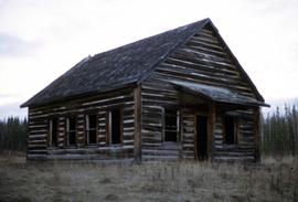
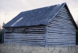
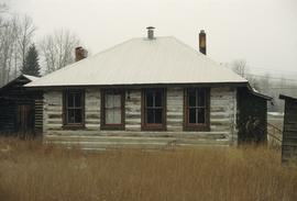
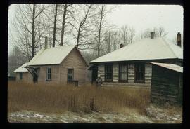
This fonds consists of material created and collected by Kent Sedgwick, author, professor, Prince George urban planner, and prominent local historian. This body of records documents Sedgwick’s research interests in the history and geography of the Central Interior of British Columbia. The fonds also reflects his work as a Prince George Senior City Planner, his involvement in local community organizations, and his teaching at the College of New Caledonia and the University of Northern British Columbia.
The fonds includes:
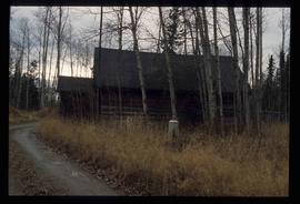
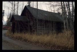
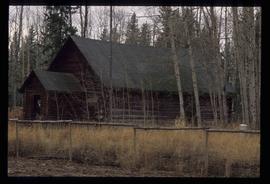
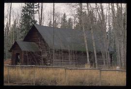
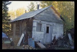
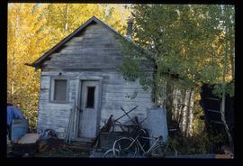
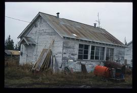
1) Photographs taken by Kent Sedgwick across British Columbia, predominantly in the Central Interior region;
2) Research subject files consisting of original research documentation and collected reference material, predominantly focusing on topics relating to local history, city planning, and geography in the Prince George area and the British Columbia Central Interior;
3) Documentation of Kent Sedgwick’s community involvement, including records created over the course of his work with the Prince George Heritage Commission, , the Alexander Mackenzie Heritage Trail Association, and other local organizations;
4) Writings, publications, and lectures written, edited, or conducted by Kent Sedgwick;
5) Professorial records consisting of lectures and material relating to Sedgwick’s teaching appointments at the College of New Caledonia and the University of Northern British Columbia;
6) Maps collected by Kent Sedgwick covering historical and contemporary British Columbia.
Zona das notas
Organização
Arrangement by archivist.
Idioma do material
- inglês
Sistema de escrita do material
Localização de originais
Disponibilidade de outros formatos
Restrições de acesso
Mostly free from access restrictions. FOIPPA restrictions applied to select items in file 2012.13.2.08.07 and 2012.13.2.21.06.
Termos de uso que regem, reprodução e publicação
Personal or academic use of materials is welcomed under the standard fair dealing and educational use clauses of Canadian Copyright Law. Commercial use is, however, forbidden without the express permission of the copyright holder. For information on obtaining written permission from the copyright holder, please contact the Northern B.C. Archives and Special Collections.