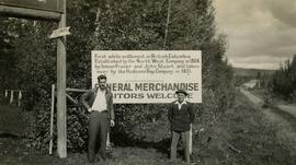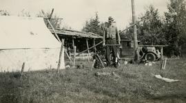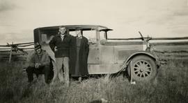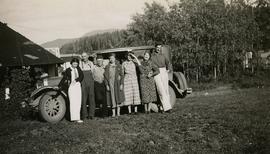
2020.05.19
·
Item
·
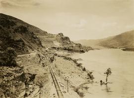
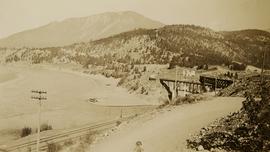
[Sept. or Oct. 1936]
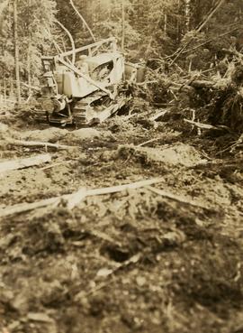
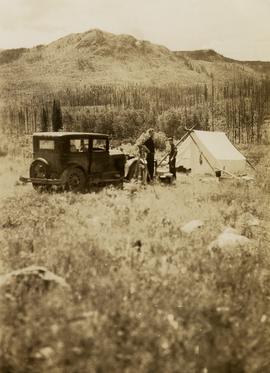
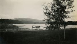
Part of Gordon Wyness Album
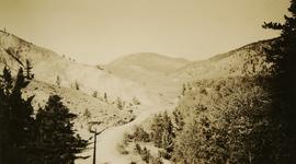
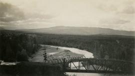
Photograph depicts two bridges crossing the Telkwa River. Wyness notes (on photograph verso) that this is where their survey crew traversed the river; he also noted erosion in the area.