Showing 658 results
Archival description
1 Aug. 1970 Flight - Photos 47829-47909
1 Aug. 1970 Flight - Photos 47829-47909
1 Aug. 1970 Flight - Photos 47910-48433
1 Aug. 1970 Flight - Photos 47910-48433
10 Sept. 1969 Flight - Photos 41644-41655
10 Sept. 1969 Flight - Photos 41644-41655
2000 Forest Development Plan (Slocan)
2000 Forest Development Plan (Slocan)
3 July 1968 Flight - Photos 27900-27999
3 July 1968 Flight - Photos 27900-27999
500 Scale Topographic Map of Cassiar, British Columbia Showing Mine and Campsite Holdings
500 Scale Topographic Map of Cassiar, British Columbia Showing Mine and Campsite Holdings
5810 Bench Plan for 1972
5810 Bench Plan for 1972
5840 & 5870 Bench Plan for 1972
5840 & 5870 Bench Plan for 1972
5840 Bench Plan for October 1972
5840 Bench Plan for October 1972
5870 Bench Plan for October 1972
5870 Bench Plan for October 1972
6290 Bench Plan for November 1972
6290 Bench Plan for November 1972
6290 Bench Plan for October 1972
6290 Bench Plan for October 1972
6320 Bench Plan for 1972
6320 Bench Plan for 1972
6320 Bench Plan for October 1972
6320 Bench Plan for October 1972
6350 Bench Plan for 1972
6350 Bench Plan for 1972
6380 Bench Plan for 1972
6380 Bench Plan for 1972
6410 Bench Plan for 1972
6410 Bench Plan for 1972
6440 Bench Plan for 1972
6440 Bench Plan for 1972
8 Sept. 1969 Flight - Photos 41243-41329
8 Sept. 1969 Flight - Photos 41243-41329
8 Sept. 1969 Flight - Photos 41334-41361
8 Sept. 1969 Flight - Photos 41334-41361
8 Sept. 1969 Flight - Photos 41404-41407
8 Sept. 1969 Flight - Photos 41404-41407
9 Sept. 1969 Flight - Photos 41439-41539
9 Sept. 1969 Flight - Photos 41439-41539
9 Sept. 1969 Flight - Photos 41540-41643
9 Sept. 1969 Flight - Photos 41540-41643
A look at Canada
A look at Canada
"Abbotsford, British Columbia"
"Abbotsford, British Columbia"
Adam Zimmerman fonds

Advanced Copy of a Map of the Queen Charlotte Islands
Agricultural Land Commission 1972-1978
Agricultural Land Commission 1972-1978
"Agriculture, Fish & Food in B.C."
"Agriculture, Fish & Food in B.C."
"Air Facilities Map"
"Air Facilities Map"
Alaska Trip, August 1985
Alaska Trip, August 1985
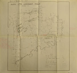
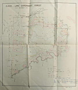
Aleza Lake Experiment Forest

Aleza Lake Experiment Forest

Aleza Lake Experiment Forest - Map No. 1

Aleza Lake Experiment Forest - Map No. 2

Aleza Lake Experiment Forest - Map No. 3
Aleza Lake Experiment Forest - Map No. 3
Aleza Lake Experiment Forest - Map No. 3

Aleza Lake Experiment Forest annotated
Aleza Lake Experiment Forest annotated to show Spruce Beetle

Aleza Lake Experiment Forest Development Map

Aleza Lake Experiment Forest Development Map

Aleza Lake Experiment Forest Map No. 1 annotated

Aleza Lake Experiment Forest outline map

Aleza Lake Experiment Forest Permanent Plot Map

Aleza Lake Experiment Forest Permanent Plot Map

Aleza Lake Experiment Forest with Working Circle Annotations

Aleza Lake Experiment Forest Working Circle Timber Sale Map

Aleza Lake Experiment Forest Working Circle T.S.X. Map

Aleza Lake Experiment Station, Purden P.W.C., and Longworth S.Y.U. annotated

Aleza Lake Forest