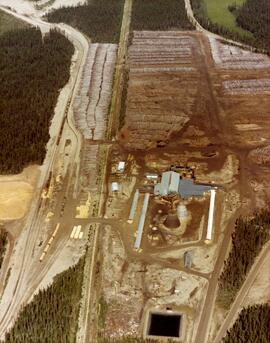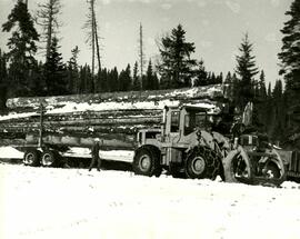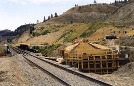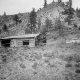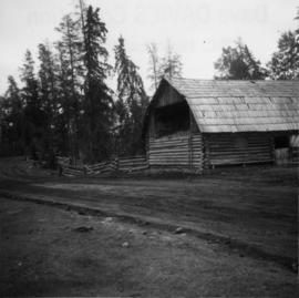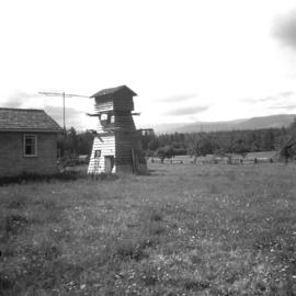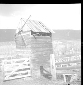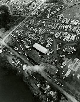
2022.03.1.31
·
Pièce
·
Apr. 1974
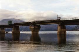
Fait partie de Stowell Forestry Collection
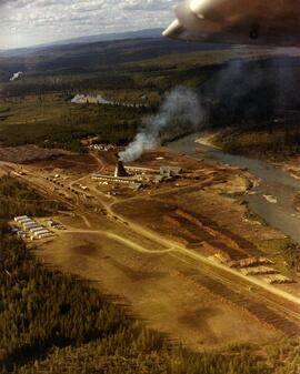
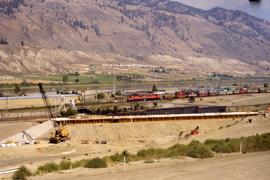
The photograph depicts an ariel view of planer operations at The Pas Company Planer Mill in Prince George, B.C. Multiple stacks of lumber, a train and multiple cars can be seen. Annotation on reverse side of the photograph state, "Doug Weller, Apr. 1974, The Pas Lumber Company Ltd Planer Operations River Road - April 1974"