Series consists of photographs relating to Ray Williston's life from childhood to recent times, air photographs of Prince George, photographs of Bangladesh, and a listing of photographs slated for use in Mr. Williston's biography "Forests, power and policy: the legacy of Ray Williston" written by Eileen Williston and Betty Keller.
The Prince George Railway & Forestry Museum Society Collection consists primarily of textual, photographic, and cartographic records related to the regional developments of the railway industry in Northern BC. A predominant portion of the collection is made up of material from the Canadian National Railway; other railways represented include the Pacific Great Eastern Railway, the British Columbia Railway (BC Rail), the Grand Trunk Pacific Railway, the Grand Trunk Railway, the Intercolonial Railway, and the Okanagan Express. Significant geographical areas covered include Prince George, the Peace River Region, Terrace, Bulkley Valley, Hazelton and Prince Rupert.
The forestry industry is represented in the collection with operational and financial records from Fyfe Lake Sawmill Ltd., which operated southwest of Prince George in the 1950s.
The collection has been organized into series according to creator, each of which also has been arranged to subseries, file and item level, where applicable. This collection consists of eight series, as follows:
1) Canadian National Railway
2) Grand Trunk Railway
3) Pacific Great Eastern Railway
4) British Columbia Railway (BC Rail)
5) Canadian Pacific Railway (CPR)
6) Intercolonial Railway
7) Fyfe Lake Sawmill ltd.
8) PGRFM
9) Photographs
Consists of two photograph albums that illustrate Parker Bonney's early years as a Forest Engineer. Includes photographs of the expedition to the Nass Valley undertaken by Parker Bonney, Sam Brown, and others. May also include photographs of later surveying expeditions.
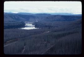
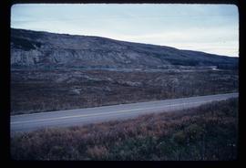
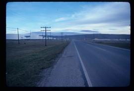
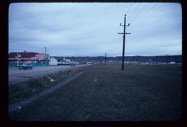
Bonney, ParkerFile contains slides depicting places along the Peace River.
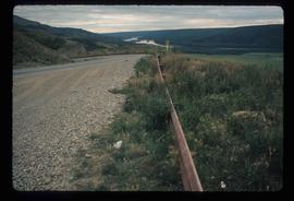
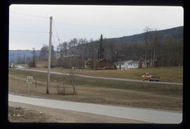
Image depicts a road with a guardrail and open fields somewhere near Dawson Creek, B.C.
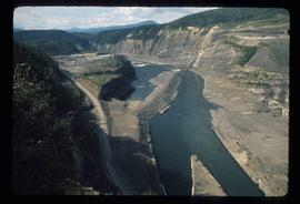
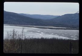
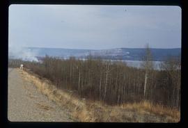
Image depicts a section of the Peace River blocked off by the W.A.C. Bennett Dam. The dam itself is not visible in the image.
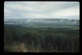
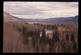
Image depicts an area of forests and fields somewhere near Fort St. John, B.C.
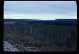
Image depicts a section of forest located somewhere in the Peace River Regional District of B.C.
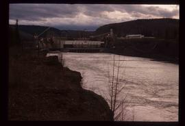
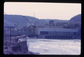
Image depicts a dam on what is possibly the Peace River.
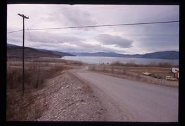
Image depicts what is possibly the Peace River running parallel to a road, possibly Highway 29.
Image depicts a stretch of highway, possibly Highway 29 or 97.
Image depicts a street of shops at an uncertain location somewhere in the Peace River Regional District. A pink and blue building, possibly a theatre, is labelled "Lux."
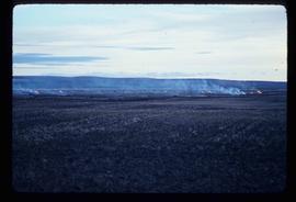
Image depicts grass burning at an uncertain location in the Peace River Region.
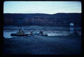
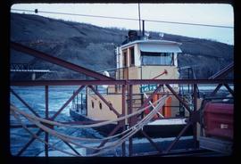
Image depicts the Clayhurst Ferry on the Peace River.
Image depicts the Clayhurst Ferry on the Peace River.
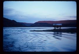
Image depicts the Peace River, possibly near Clayhurst or Hudson's Hope, B.C.
Image depicts the Peace River, possibly near Clayhurst or Hudson's Hope, B.C.
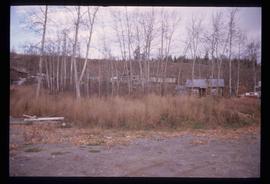
Image depicts a cabin and several other buildings, possibly located in Hudson's Hope, B.C.
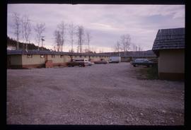
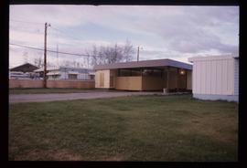
Image depicts what appears to be a motel in Hudson's Hope, B.C. The slide is labelled "camp HH."
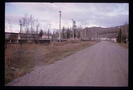
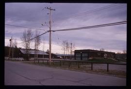
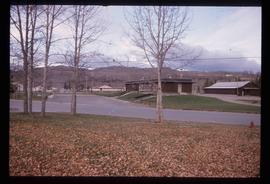
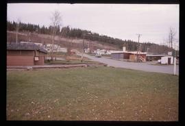
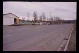
Image depicts a road and numerous buildings in Hudson's Hope, B.C.
Image depicts what appears to be a Fire Hall in Hudson's Hope, B.C.
Image depicts two houses in Hudson's Hope, B.C.
Image depicts what appears to be a Fire Hall in Hudson's Hope, B.C.
Image depicts a street in Hudson's Hope, B.C.
Image depicts a street with a building which is labelled "MacKeigan Enterprises Ltd." in Hudson's Hope, B.C.
Image depicts the W.A.C. Bennett Dam in Hudson's Hope, B.C.
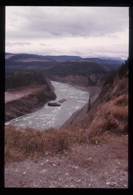
Image depicts the Peace River, possibly near Hudson's Hope, B.C.
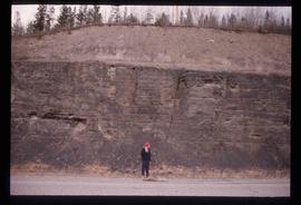
Image depicts an unidentified individual standing in front of a rock face with visible sediment layers. Located somewhere in the Peace River Region, possibly near Hudson's Hope.
Image depicts what is possibly the Peace River.
Image depicts what is either the Peace or Kiskatinaw River in Pine Valley, B.C.
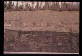
Image depicts a wall of rock with visible sediment layers at an uncertain location in the Peace River Region, possibly near Hudson's Hope.
Image depicts a dam, possibly on the Peace River.
Image depicts a dam and a reservoir of water, possibly on the Peace River.
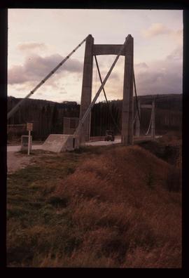
Image depicts a truck on a bridge, possibly crossing over the Peace River.
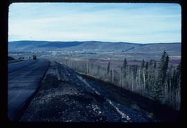
Image depicts a view of Chetwynd, possibly from Highway 97.
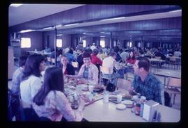
Image depicts a crowded cafeteria, most likely somewhere in Hudson's Hope, B.C. The slide is labelled "Camp at H.H."
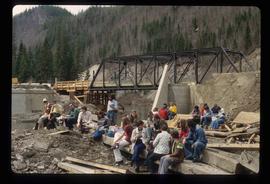
Image depicts a large group of people sitting and eating near a bridge at an uncertain location, though possibly near Hudson's Hope, B.C.
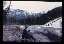
Image depicts an unidentified woman with a camera sitting on the bank of a river.
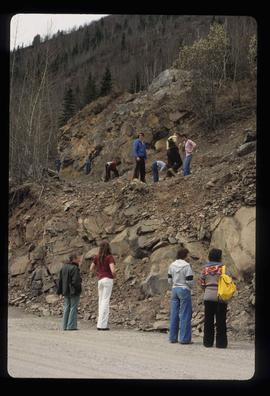
Image depicts numerous individuals who appear to be searching among the rocks on a ledge at an uncertain location in the Peace River Region.
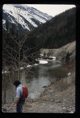
Image depicts a river, possibly the Peace River.
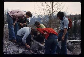
Image depicts a group of individuals who appear to be examining a rock. It is possibly part of an educational trip.
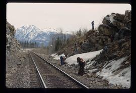
Image depicts a group of individuals who appear to be searching through the rocks near a railway track. It is possibly part of an educational trip.
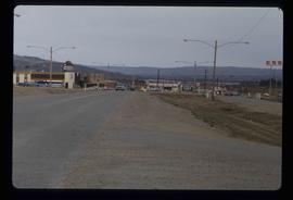
Image depicts several businesses in a small section of Chetwynd, B.C. There is a motor hotel and a half-visible sign for an Esso gas station.
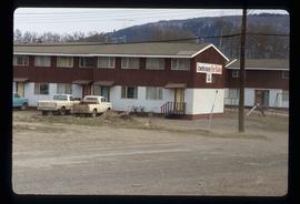
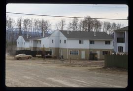
Image depicts a number of townhouses in Chetwynd, B.C.
Image depicts a number of townhouses in Chetwynd, B.C.
Image depicts several houses in Chetwynd, B.C.
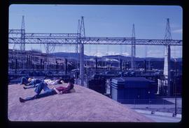
Image depicts several unidentified individuals lying on a hill outside what is most likely the W.A.C. Bennett Dam in Hudson's Hope, B.C.
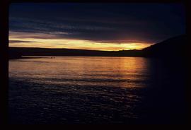
Image depicts a delta at Moberly Lake north of Chetwynd and south of Hudson's Hope, B.C.
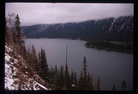
Image depicts an obstructed view of Moberly Lake, located north of Chetwynd and south of Hudson's Hope, B.C.
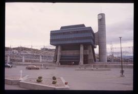
Image depicts the Peace Canyon Dam and generating station under construction on the Peace River.
