2011.3.1
·
Dossiê
·
1904 - 1910
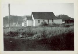
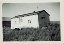
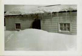
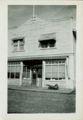
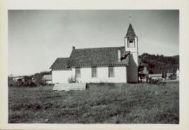
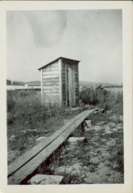
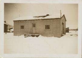
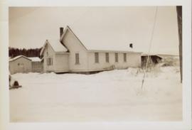
Parte de North Coast & Central BC Postcard Collection
File contains postcard photographs portraying life in various Northern BC Communities. Images depict buildings and streets, church structures, harbours and docks, and views of the shore from the water to name a few.