2020.4.6.664
·
File
·
2011
Part of G. Gary Runka fonds
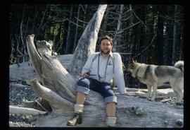
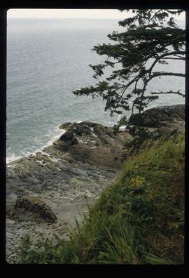
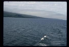
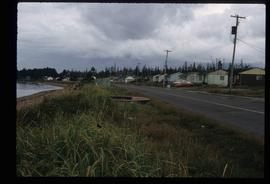
File consists of records created and accumulated by Gary Runka over the course of his consultancy work for Misty Isles Economic Development Society for the "Food Planning Presentations on Haida Gwaii" project in Haida Gwaii. This file was numbered as G.G. Runka Land Sense Ltd. client file #664; that client number may be seen referenced elsewhere in the G. Gary Runka fonds. The Land Sense Ltd. client files generally include records such as correspondence, contracts, invoices, project reports, publications, ephemera, memoranda, maps or map excerpts, legal documents, meeting materials, clippings, and handwritten notes.