The Cartographic Materials series consists of maps, plans, schematics and blueprints documenting a wide variety of subject areas pertaining to both the operation of the Cassiar Asbestos Corporation Ltd., and the company township of Cassiar, B.C.
Cassiar Asbestos Corporation Ltd.File contains 6 slide presentations depicting training material for the operation of a P&H excavator published by the Harnischfeger Institute. The presentations depict an introduction to excavator controls and techniques for proper hoist motion, proper swing motion, concerning haulage units, proper propel motion, and proper crowd motion.
Aerial photograph of Clinton Creek, north west of plant site.
Aerial photograph of Clinton Creek, north east of plant site.
Aerial photograph of Clinton Creek, west of plant site.
Aerial photograph of Clinton Creek, south of plant site.
Aerial photograph of Clinton Creek, south of plant site.
Aerial photograph of Clinton Creek, north east of plant site.
Aerial photograph of Clinton Creek, north east of plant site.
Aerial photograph of Clinton Creek, south east of plant site.
Aerial photograph of Clinton Creek, south east of plant site.
Flight index for 68 aerial photographs accompanying item. Map depicts Clinton Creek area, identifying airfield and mine. Cartographic legend: "CASSIAR ASBESTOS CORP LTD" "FLIGHT INDEX" "DATE OF PHOTOGRAPHY MAY 1965" "SCALE OF PHOTOGRAPHY 1" = 900 APPROX." "McELHANNEY ASSOCIATES VANCOVER B.C." "JOB No C189/6524".
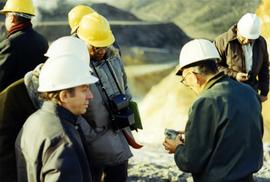
Photograph depicts a party of ambassadors standing outdoors and looking at asbestos at Clinton Creek.
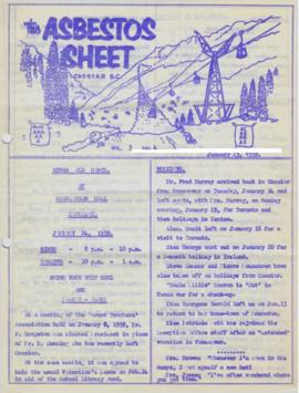
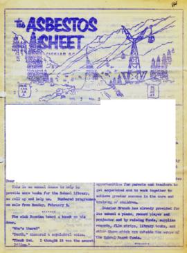
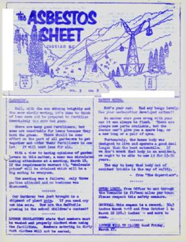
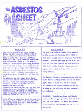
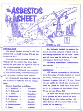
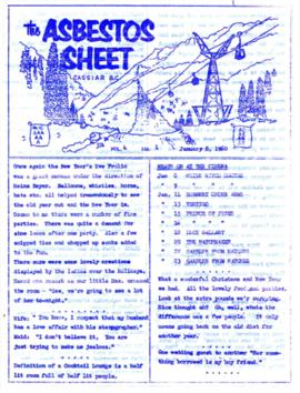
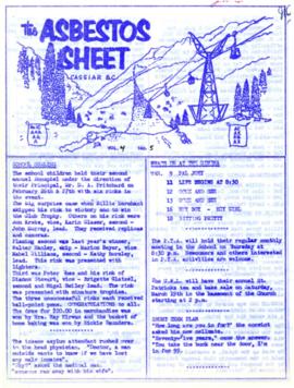
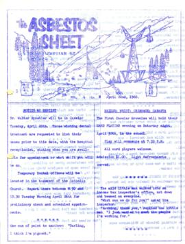
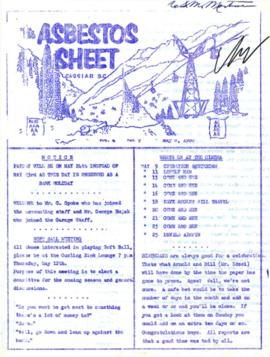
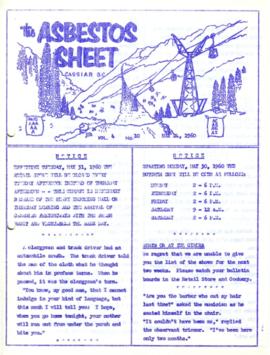
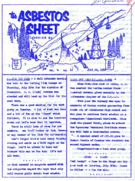
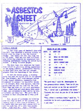
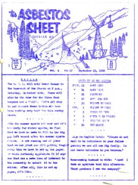
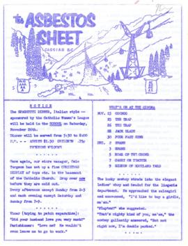
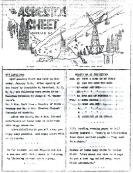
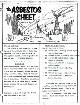
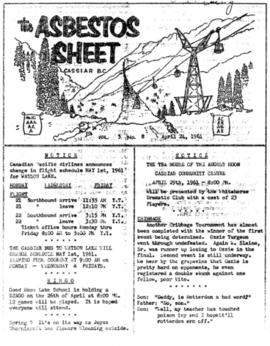
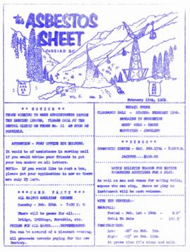
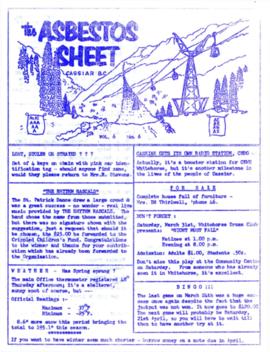
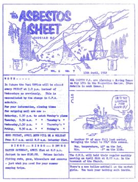
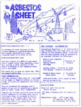
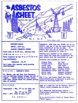
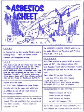
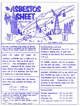
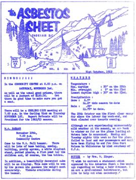
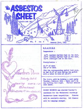
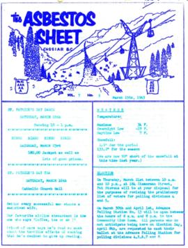
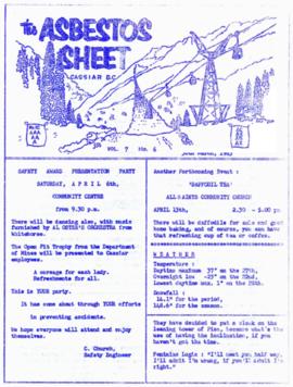
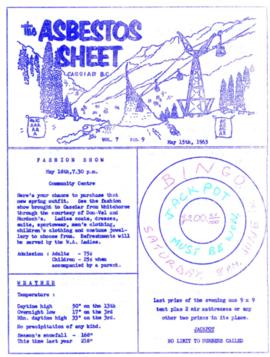
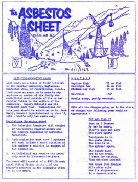
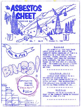
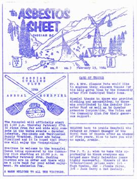
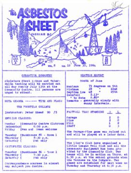
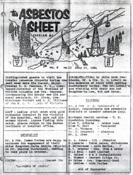
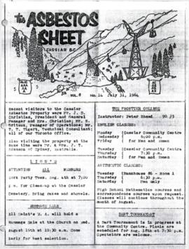
"The Asbestos Sheet" is a newspaper that documents the community and work life of the residents of Cassiar BC. Content includes text and photographs, as well as jokes, comics, and games.
"The Asbestos Sheet" is a newspaper that documents the community and work life of the residents of Cassiar BC. Content includes text and photographs, as well as jokes, comics, and games.
"The Asbestos Sheet" is a newspaper that documents the community and work life of the residents of Cassiar BC. Content includes text and photographs, as well as jokes, comics, and games.
"The Asbestos Sheet" is a newspaper that documents the community and work life of the residents of Cassiar BC. Content includes text and photographs, as well as jokes, comics, and games.
"The Asbestos Sheet" is a newspaper that documents the community and work life of the residents of Cassiar BC. Content includes text and photographs, as well as jokes, comics, and games.
"The Asbestos Sheet" is a newspaper that documents the community and work life of the residents of Cassiar BC. Content includes text and photographs, as well as jokes, comics, and games.
"The Asbestos Sheet" is a newspaper that documents the community and work life of the residents of Cassiar BC. Content includes text and photographs, as well as jokes, comics, and games.
"The Asbestos Sheet" is a newspaper that documents the community and work life of the residents of Cassiar BC. Content includes text and photographs, as well as jokes, comics, and games.
"The Asbestos Sheet" is a newspaper that documents the community and work life of the residents of Cassiar BC. Content includes text and photographs, as well as jokes, comics, and games.
"The Asbestos Sheet" is a newspaper that documents the community and work life of the residents of Cassiar BC. Content includes text and photographs, as well as jokes, comics, and games.
"The Asbestos Sheet" is a newspaper that documents the community and work life of the residents of Cassiar BC. Content includes text and photographs, as well as jokes, comics, and games.
"The Asbestos Sheet" is a newspaper that documents the community and work life of the residents of Cassiar BC. Content includes text and photographs, as well as jokes, comics, and games.
"The Asbestos Sheet" is a newspaper that documents the community and work life of the residents of Cassiar BC. Content includes text and photographs, as well as jokes, comics, and games.
"The Asbestos Sheet" is a newspaper that documents the community and work life of the residents of Cassiar BC. Content includes text and photographs, as well as jokes, comics, and games.
"The Asbestos Sheet" is a newspaper that documents the community and work life of the residents of Cassiar BC. Content includes text and photographs, as well as jokes, comics, and games.
"The Asbestos Sheet" is a newspaper that documents the community and work life of the residents of Cassiar BC. Content includes text and photographs, as well as jokes, comics, and games.
"The Asbestos Sheet" is a newspaper that documents the community and work life of the residents of Cassiar BC. Content includes text and photographs, as well as jokes, comics, and games.
"The Asbestos Sheet" is a newspaper that documents the community and work life of the residents of Cassiar BC. Content includes text and photographs, as well as jokes, comics, and games.
"The Asbestos Sheet" is a newspaper that documents the community and work life of the residents of Cassiar BC. Content includes text and photographs, as well as jokes, comics, and games.
"The Asbestos Sheet" is a newspaper that documents the community and work life of the residents of Cassiar BC. Content includes text and photographs, as well as jokes, comics, and games.
"The Asbestos Sheet" is a newspaper that documents the community and work life of the residents of Cassiar BC. Content includes text and photographs, as well as jokes, comics, and games.
"The Asbestos Sheet" is a newspaper that documents the community and work life of the residents of Cassiar BC. Content includes text and photographs, as well as jokes, comics, and games.
"The Asbestos Sheet" is a newspaper that documents the community and work life of the residents of Cassiar BC. Content includes text and photographs, as well as jokes, comics, and games.
"The Asbestos Sheet" is a newspaper that documents the community and work life of the residents of Cassiar BC. Content includes text and photographs, as well as jokes, comics, and games.
"The Asbestos Sheet" is a newspaper that documents the community and work life of the residents of Cassiar BC. Content includes text and photographs, as well as jokes, comics, and games.
"The Asbestos Sheet" is a newspaper that documents the community and work life of the residents of Cassiar BC. Content includes text and photographs, as well as jokes, comics, and games.
"The Asbestos Sheet" is a newspaper that documents the community and work life of the residents of Cassiar BC. Content includes text and photographs, as well as jokes, comics, and games.
"The Asbestos Sheet" is a newspaper that documents the community and work life of the residents of Cassiar BC. Content includes text and photographs, as well as jokes, comics, and games.
"The Asbestos Sheet" is a newspaper that documents the community and work life of the residents of Cassiar BC. Content includes text and photographs, as well as jokes, comics, and games.
"The Asbestos Sheet" is a newspaper that documents the community and work life of the residents of Cassiar BC. Content includes text and photographs, as well as jokes, comics, and games.
"The Asbestos Sheet" is a newspaper that documents the community and work life of the residents of Cassiar BC. Content includes text and photographs, as well as jokes, comics, and games.
"The Asbestos Sheet" is a newspaper that documents the community and work life of the residents of Cassiar BC. Content includes text and photographs, as well as jokes, comics, and games.
"The Asbestos Sheet" is a newspaper that documents the community and work life of the residents of Cassiar BC. Content includes text and photographs, as well as jokes, comics, and games.
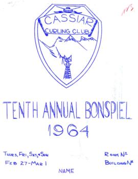
"The Asbestos Sheet" is a newspaper that listing the events of the Tenth Annual Bonspiel in Cassiar, B.C. Content includes a small map of the town, business hours and Church services, as well as cartoon images and lists of organizers and prize donors.
"The Asbestos Sheet" is a newspaper that documents the community and work life of the residents of Cassiar BC. Content includes text and photographs, as well as jokes, comics, and games.
"The Asbestos Sheet" is a newspaper that documents the community and work life of the residents of Cassiar BC. Content includes text and photographs, as well as jokes, comics, and games.
"The Asbestos Sheet" is a newspaper that documents the community and work life of the residents of Cassiar BC. Content includes text and photographs, as well as jokes, comics, and games.
